-
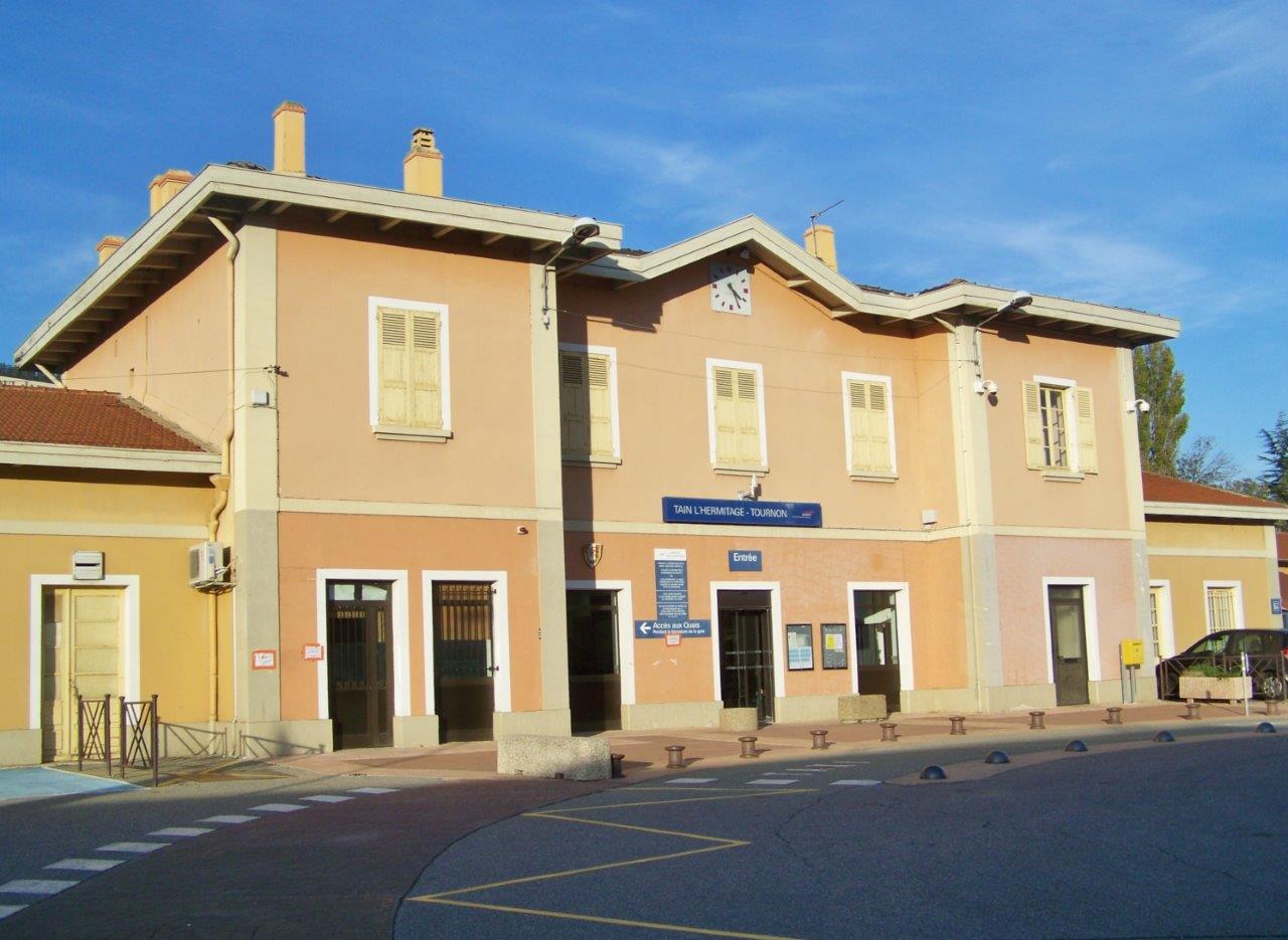
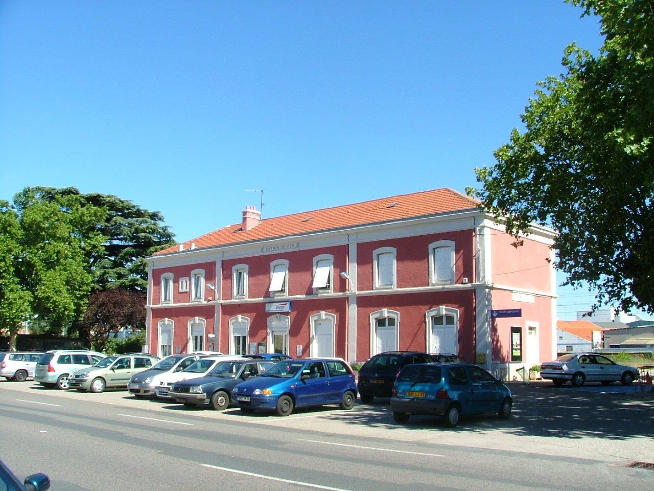
Get Directions: 0.00The train station Tain-l’Hermitage – Tournon is a French railway station located in the town of Tain-l’Hermitage (Drôme), sur la rive gauche du Rhône, proche de Tournon-sur-Rhône (Ardèche) sur la rive droite du fleuve, in the region: Auvergne-Rhône-Alpes. Its latitude and longitude geographic coordinates are 45° 04′ 20″ North, 4° 50′ 23″ East with an altitude of 124 m. It is on the train line Paris-Lyon Read more...
-
Get Directions: 0.00The train station Sury-le-Comtal is a French railway station located in the town of Sury-le-Comtal in the department: Loire in the region: Rhône-Alpes. Its latitude and longitude geographic coordinates are 45° 31′ 45″ North, 4° 10′ 58″ East with an altitude of 380 m. It is on the train line Clermont-Ferrand Saint-Just-sur-Loire with 1 track and 1 platform. Read more...
-
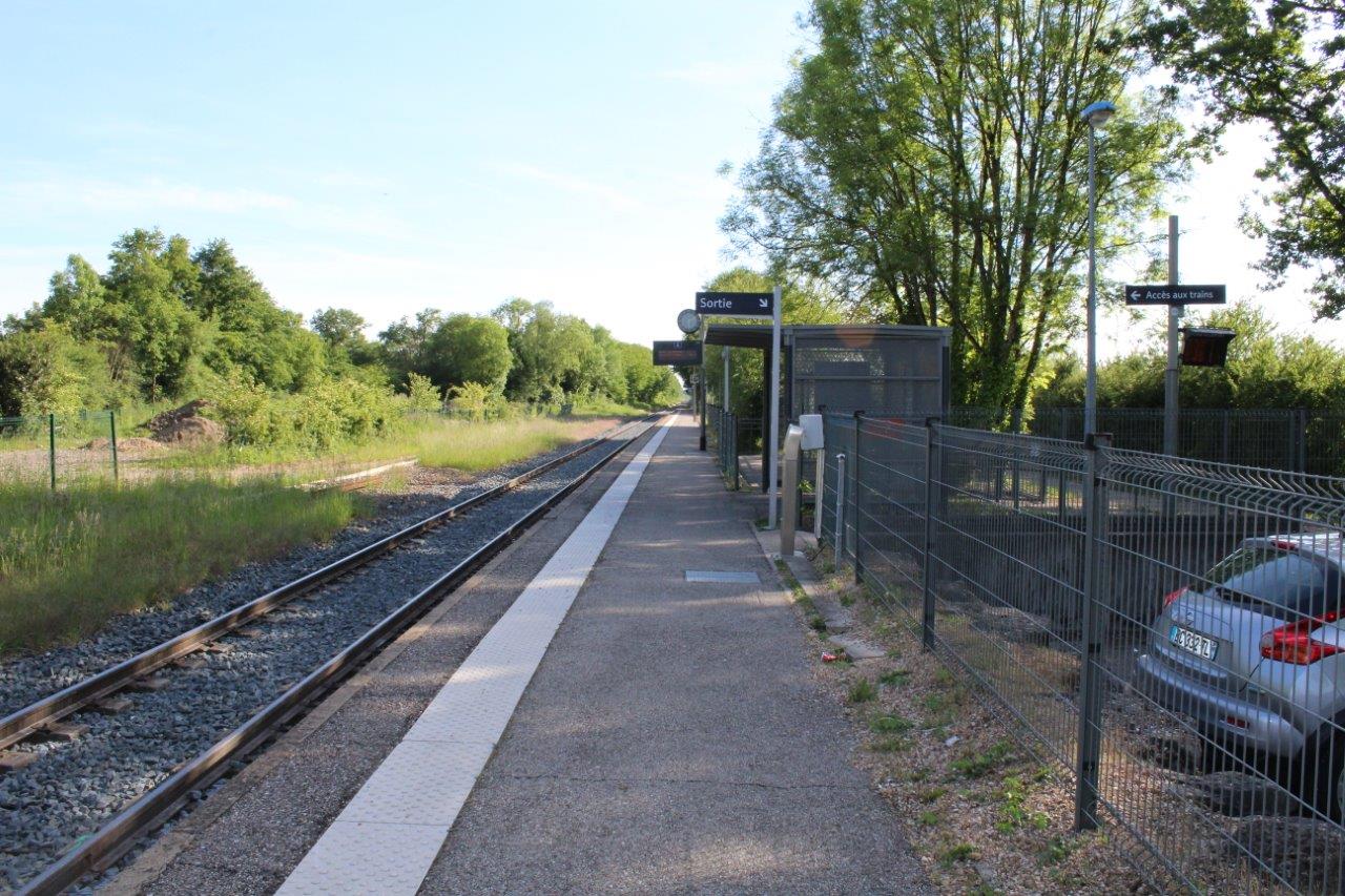
Get Directions: 0.00The train station Simandre-sur-Suran is a French railway station on the line: Bourg-en-Bresse Bellegarde, located in the town of Simandre-sur-Suran, in the department: Ain, in the region: Auvergne-Rhône-Alpes. Its latitude and longitude geographic coordinates are 46° 13′ 13″ North, 5° 25′ 16″ East with an altitude of 315 m. It is on the train line Bourg-en-Bresse Bellegarde with 1 track and 1 platform. Read more...
-
Get Directions: 0.00The train station Vaudagne is a French railway station on the line: Saint-Gervais Vallorcine, located in the town of Servoz, in the department: Haute-Savoie in the region: Rhône-Alpes. Its latitude and longitude geographic coordinates are 45° 54′ 32″ North, 6° 46′ 21″ East with an altitude of 930 m. It is on the train line Saint-Gervais – Vallorcine with 1 through route tracks and 1 de Read more...
-
Get Directions: 0.00The train station Servas – Lent is a French railway station on the line: Lyon-Saint-Clair Bourg-en-Bresse, located at a place called Le Picardet within the territory of the town of Servas, near Lent, in the department: Ain, in the region: Auvergne-Rhône-Alpes. Its latitude and longitude geographic coordinates are 46° 07′ 51″ North, 5° 10′ 05″ East with an altitude of 266 m. It is on the Read more...
-
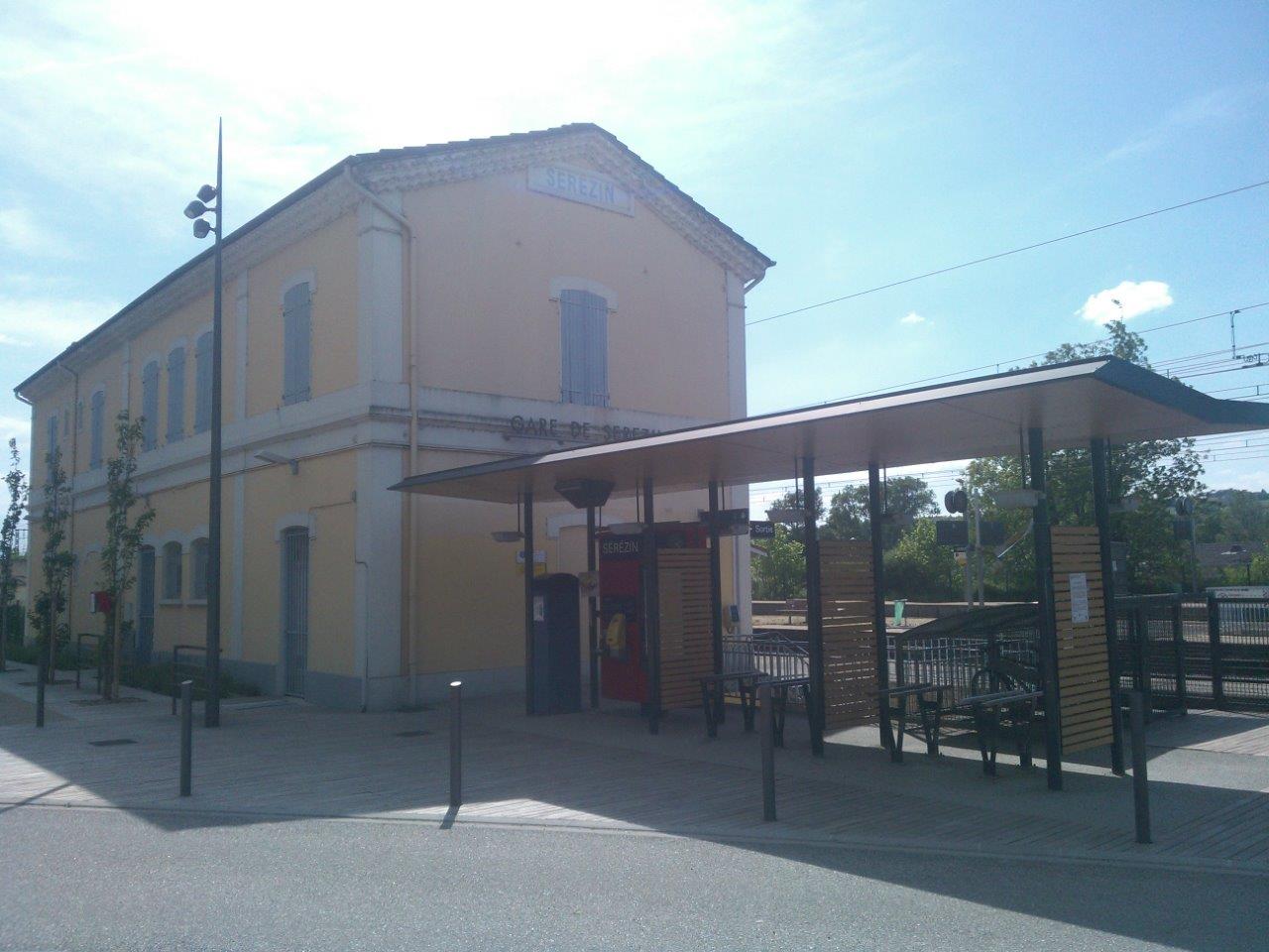
Get Directions: 0.00The train station Sérézin is a French railway station on the line: Paris-Lyon Marseille-Saint-Charles, located in the town of Sérézin-du-Rhône in the department: Rhône in the region: Rhône-Alpes. Its latitude and longitude geographic coordinates are 45° 37′ 38″ North, 4° 49′ 05″ East with an altitude of 164 m. It is on the train line Paris-Lyon Marseille-Saint-Charles with 4 tracks and 3 (1 central plus 2 Read more...
-
Get Directions: 0.00The train station Sathonay – Rillieux is a French railway station on the train lines: Lyon-Saint-Clair Bourg-en-Bresse and Lyon-Croix-Rousse Trévoux, located on the territory of the municipalities of Sathonay-Camp and Rillieux-la-Pape, in the city of Lyon, in the region: Auvergne-Rhône-Alpes. Its latitude and longitude geographic coordinates are 45° 49′ 12″ North, 4° 52′ 29″ East with an altitude of 266 m. It is on the train Read more...
-
Get Directions: 0.00The train station Paulhaguet is a French railway station on the line: Saint-Germain-des-Fossés Nîmes-Courbessac, located at a place called « gare de Paulhaguet » within the territory of the town of Salzuit, near Paulhaguet, in the department: Haute-Loire in the region: Auvergne. Its latitude and longitude geographic coordinates are 45° 12′ 37″ North, 3° 30′ 02″ East with an altitude of 521 m. It is on the train Read more...
-
Get Directions: 0.00The train station Sallanches – Combloux – Megève is a French railway station located in the town of Sallanches near the municipalities of Combloux and Megève, in the department: Haute-Savoie in the region: Auvergne-Rhône-Alpes. Its latitude and longitude geographic coordinates are 45° 56′ 09″ North, 6° 38′ 12″ East with an altitude of 547 m. It is on the train line La Roche-sur-Foron Saint-Gervais-les-Bains-Le Fayet with Read more...
-
Get Directions: 0.00The train station Saint-Vincent-le-Château is a French railway station on the line: Saint-Georges-d’Aurac Saint-Étienne-Châteaucreux located in the municipality of Saint-Vincent, in the department: Haute-Loire in the region: Auvergne. Its latitude and longitude geographic coordinates are 45° 08′ 57″ North, 3° 55′ 07″ East with an altitude of 552 m. It is on the train line St-Georges-d’Aurac – St-Étienne-Châteaucreux with 1 track and 1 platform. Read more...
-
Get Directions: 0.00The train station Saint-Vallier-sur-Rhône is a French railway station on the line: Paris-Lyon Marseille-Saint-Charles located in the town of Saint-Vallier in the department: Drôme in the region: Auvergne-Rhône-Alpes. Its latitude and longitude geographic coordinates are 45° 11′ 08″ North, 4° 48′ 52″ East with an altitude of 140 m. It is on the train line Paris-Lyon Marseille-Saint-Charles with 2 (plus sidings) tracks and 2 platforms. Read more...
-
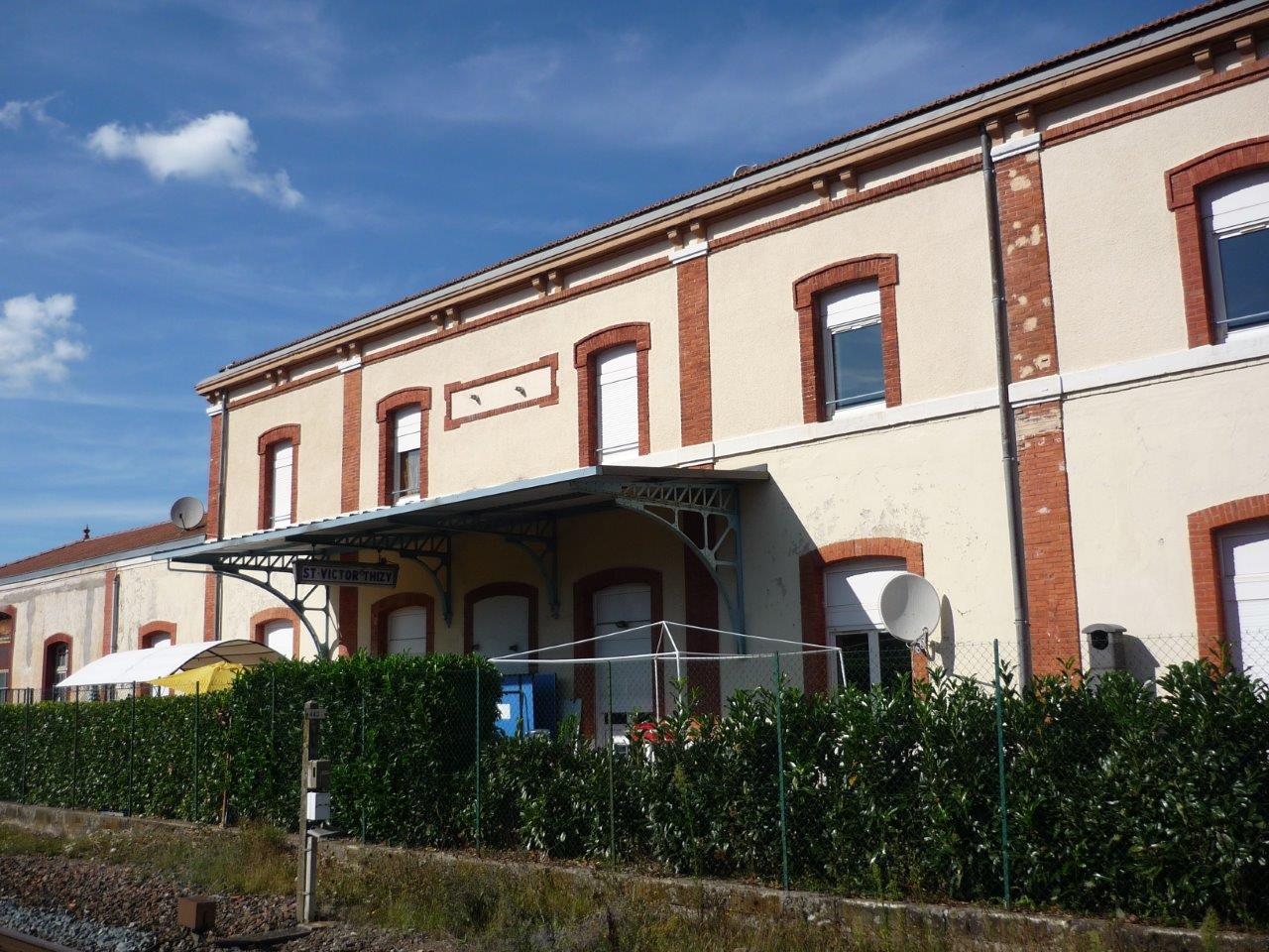
Get Directions: 0.00The train station Saint-Victor – Thizy is a French railway station on the line: Le Coteau Saint-Germain-au-Mont-d’Or located in the town of Saint-Victor-sur-Rhins, near Thizy-les-Bourgs, in the department: Loire in the region Auvergne-Rhône-Alpes. Its latitude and longitude geographic coordinates are 46° 00′ 09″ North, 4° 16′ 52″ East with an altitude of 364 m. It is on the train line Le Coteau Saint-Germain-au-Mont-d’Or, Saint-Victor-sur-Rhins Cours (private, Read more...
-
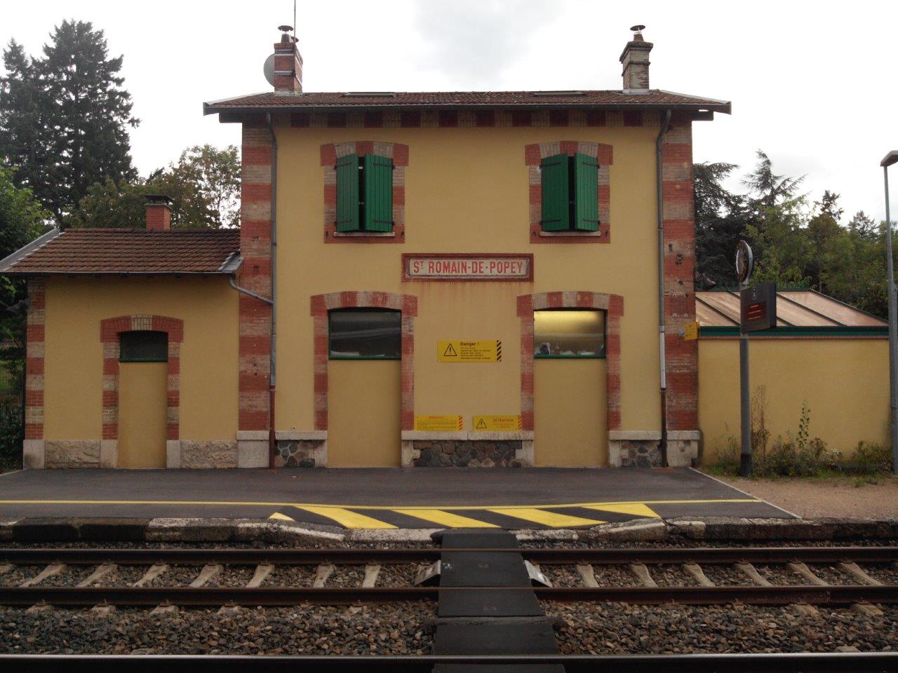
Get Directions: 0.00The train station Saint-Romain-de-Popey is a French railway station located in the town of Saint-Romain-de-Popey in the department: Rhône in the region Rhône-Alpes. Its latitude and longitude geographic coordinates are 45° 51′ 42″ North, 4° 32′ 32″ East with an altitude of 318 m. It is on the train line Le Coteau – Saint-Germain-au-Mont-d’Or with 2 tracks and 2 platforms. Read more...
-
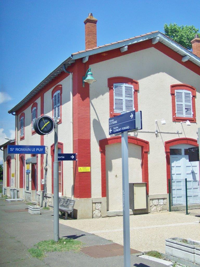
Get Directions: 0.00The train station Saint-Romain-le-Puy is a French railway station located in the town of Saint-Romain-le-Puy in the department: Loire. Its latitude and longitude geographic coordinates are 45° 33′ 16″ North, 4° 07′ 14″ East with an altitude of 401 m. It is on the train line Clermont-Ferrand Saint-Just-sur-Loire with 2 tracks and 2 platforms. Read more...
-
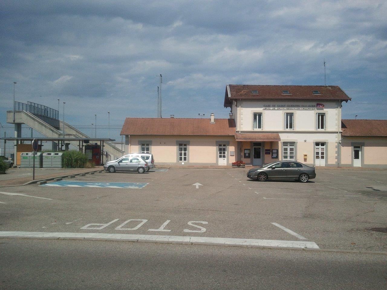
Get Directions: 0.00The train station Saint-Quentin-Fallavier is a French railway station on the line: Lyon-Perrache Marseille-Saint-Charles (via Grenoble), located in the town of Saint-Quentin-Fallavier, in the department: Isère in the region: Auvergne-Rhône-Alpes. Its latitude and longitude geographic coordinates are 45° 38′ 18″ North, 5° 06′ 00″ East with an altitude of 251 m. It is on the train line Lyon-Perrache Marseille-Saint-Charles (via Grenoble) with 2 tracks and 2 Read more...
-
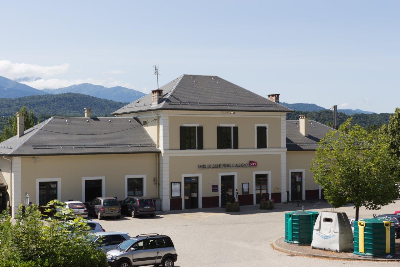
Get Directions: 0.00The train station Saint-Pierre-d’Albigny is a French railway station on the train lines: Culoz Modane (border) (also called ligne de la Maurienne) and Saint-Pierre-d’Albigny Bourg-Saint-Maurice. It is located in the town of Saint-Pierre-d’Albigny in the department: Savoie in the region: Rhône-Alpes. Its latitude and longitude geographic coordinates are 45° 33′ 26″ North, 6° 09′ 23″ East with an altitude of 294 m. It is on the Read more...
-
Get Directions: 0.00The train station Saint-Pierre-en-Faucigny is a French railway station on the line: La Roche-sur-Foron Saint-Gervais-les-Bains-Le Fayet, located in the town of Saint-Pierre-en-Faucigny in the department: Haute-Savoie in the region: Rhône-Alpes. Its latitude and longitude geographic coordinates are 46° 03′ 33″ North, 6° 22′ 33″ East with an altitude of 479 m. It is on the train line La Roche-sur-Foron Saint-Gervais-les-Bains-Le Fayet with 2 tracks and 2 Read more...
-
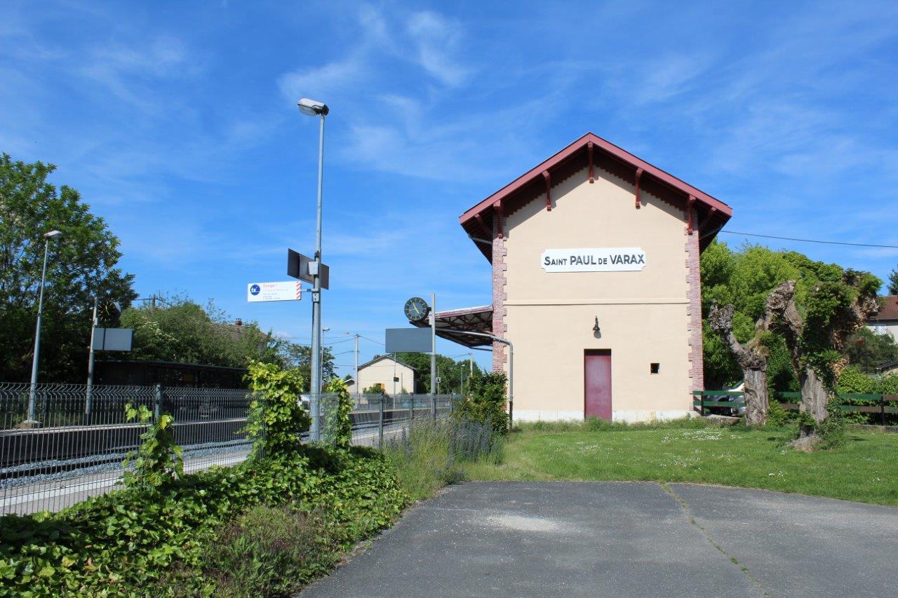
Get Directions: 0.00The train station Saint-Paul-de-Varax is a French railway station on the line: Lyon-Saint-Clair Bourg-en-Bresse, located in the town of Saint-Paul-de-Varax, in the department: Ain, in the region: Auvergne-Rhône-Alpes. Its latitude and longitude geographic coordinates are 46° 06′ 00″ North, 5° 07′ 41″ East with an altitude of 268 m. It is on the train line Lyon-Saint-Clair Bourg-en-Bresse with 2 tracks and 2 platforms. Read more...
-
Get Directions: 0.00The train station Saint-Michel – Valloire is a French railway station on the line: Culoz Modane (border) (also called ligne de la Maurienne), located in the town of Saint-Michel-de-Maurienne, near Valloire, in the department: Savoie, in the region: Rhône-Alpes. Its latitude and longitude geographic coordinates are 45° 13′ 02″ North, 6° 28′ 16″ East with an altitude of 711 m. It is on the train line Read more...
-
Get Directions: 0.00The train station Saint-Martin-du-Mont is a French railway station, located at a place called Le Molard in the municipality of Saint-Martin-du-Mont, dans l’Ain, in the region: Auvergne-Rhône-Alpes. Its latitude and longitude geographic coordinates are 46° 05′ 45″ North, 5° 18′ 12″ East with an altitude of 264 m. It is on the train line Mâcon Ambérieu with 2 tracks and 2 platforms. Read more...
-
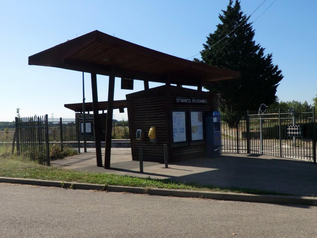
Get Directions: 0.00The train station Saint-Marcel-en-Dombes is a French railway station on the line: Lyon-Saint-Clair Bourg-en-Bresse, located in the town of Saint-Marcel, in the department: Ain, in the region: Auvergne-Rhône-Alpes. Its latitude and longitude geographic coordinates are 45° 57′ 01″ North, 4° 58′ 39″ East with an altitude of 287 m. It is on the train line Lyon-Saint-Clair Bourg-en-Bresse with 2 tracks and 2 platforms. Read more...
-
Get Directions: 0.00The train station Saint-Marcellin (Isère) is a French railway station on the line: Valence Moirans, located in the town of Saint-Marcellin in the department: Isère, in the region: Auvergne-Rhône-Alpes. Its latitude and longitude geographic coordinates are 45° 09′ 03″ North, 5° 19′ 25″ East with an altitude of 285 m. It is on the train line Valence Moirans with 3 (plus sidings) tracks and 2 platforms. Read more...
-
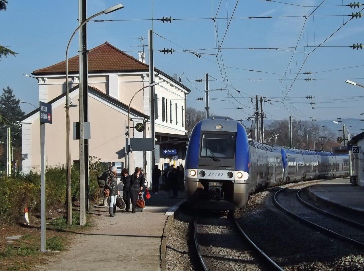
Get Directions: 0.00The train station Saint-Julien-en-Genevois is a French railway station on the line: Longeray-Léaz to Bouveret, located in the town of Saint-Julien-en-Genevois in the department: Haute-Savoie, in the region: Rhône-Alpes. Its latitude and longitude geographic coordinates are 46° 08′ 31″ North, 6° 05′ 08″ East with an altitude of 461 m. It is on the train line Longeray-Léaz Bouveret with 2 tracks and 2 platforms serving 157 Read more...
-
Get Directions: 0.00The train station Saint-Jodard is a French railway station on the line: Moret – Veneux-les-Sablons Lyon-Perrache, located in the town of Saint-Jodard, in the department: Loire in the region: Auvergne-Rhône-Alpes. Its latitude and longitude geographic coordinates are 45° 53′ 09″ North, 4° 07′ 31″ East with an altitude of 402 m. It is on the train line Moret – Veneux-les-Sablons Lyon-Perrache with 2 tracks and 2 Read more...
-
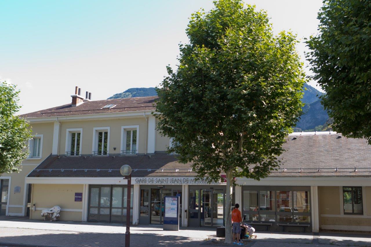
Get Directions: 0.00The train station Saint-Jean de Maurienne – Vallée de l’Arvan, also called the Saint-Jean de Maurienne-Arvan, is a French railway station on the line: Culoz Modane (border), located near the Arvan which flows into the Arc to the North and near downtown Saint-Jean-de-Maurienne, in the department: Savoie, in the region: Rhône-Alpes. Its latitude and longitude geographic coordinates are 45° 16′ 40″ North, 6° 21′ 17″ East Read more...
-
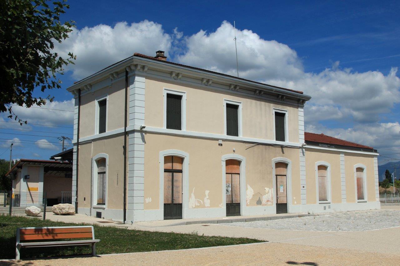
Get Directions: 0.00The train station Saint-Hilaire – Saint-Nazaire is a French railway station located in the town of Saint-Hilaire-du-Rosier in the department: Isère near Saint-Nazaire-en-Royans (department: Drôme) in the region: Rhône-Alpes. Its latitude and longitude geographic coordinates are 45° 04′ 17″ North, 5° 14′ 38″ East with an altitude of 201 m. It is on the train line Valence Moirans with 2 (plus sidings) tracks and 2 platforms. Read more...
-
Get Directions: 0.00The train station Saint-Gervais-les-Bains-Le Fayet is a French railway station, terminus of the line from La Roche-sur-Foron Saint-Gervais-les-Bains-Le Fayet and at the beginning of the line from Saint-Gervais-les-Bains-Le Fayet Vallorcine (border). It is located at Fayet, on the territory of the town of Saint-Gervais-les-Bains, in the department: Haute-Savoie in the region: Rhône-Alpes. Its latitude and longitude geographic coordinates are 45° 54′ 24″ North, Read more...
-
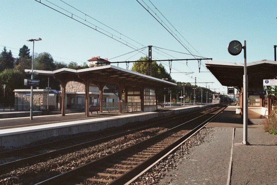
Get Directions: 0.00The train station Saint-Germain-au-Mont-d’Or is a French railway station on the train lines: Paris-Lyon Marseille-Saint-Charles et du Coteau Saint-Germain-au-Mont-d’Or, located in the town of Saint-Germain-au-Mont-d’Or, in the city of Lyon in the region: Rhône-Alpes. Its latitude and longitude geographic coordinates are 45° 53′ 19″ North, 4° 48′ 15″ East with an altitude of 183 m. It is on the train line Paris-Lyon Marseille-Saint-Charles and Le Coteau Read more...
-
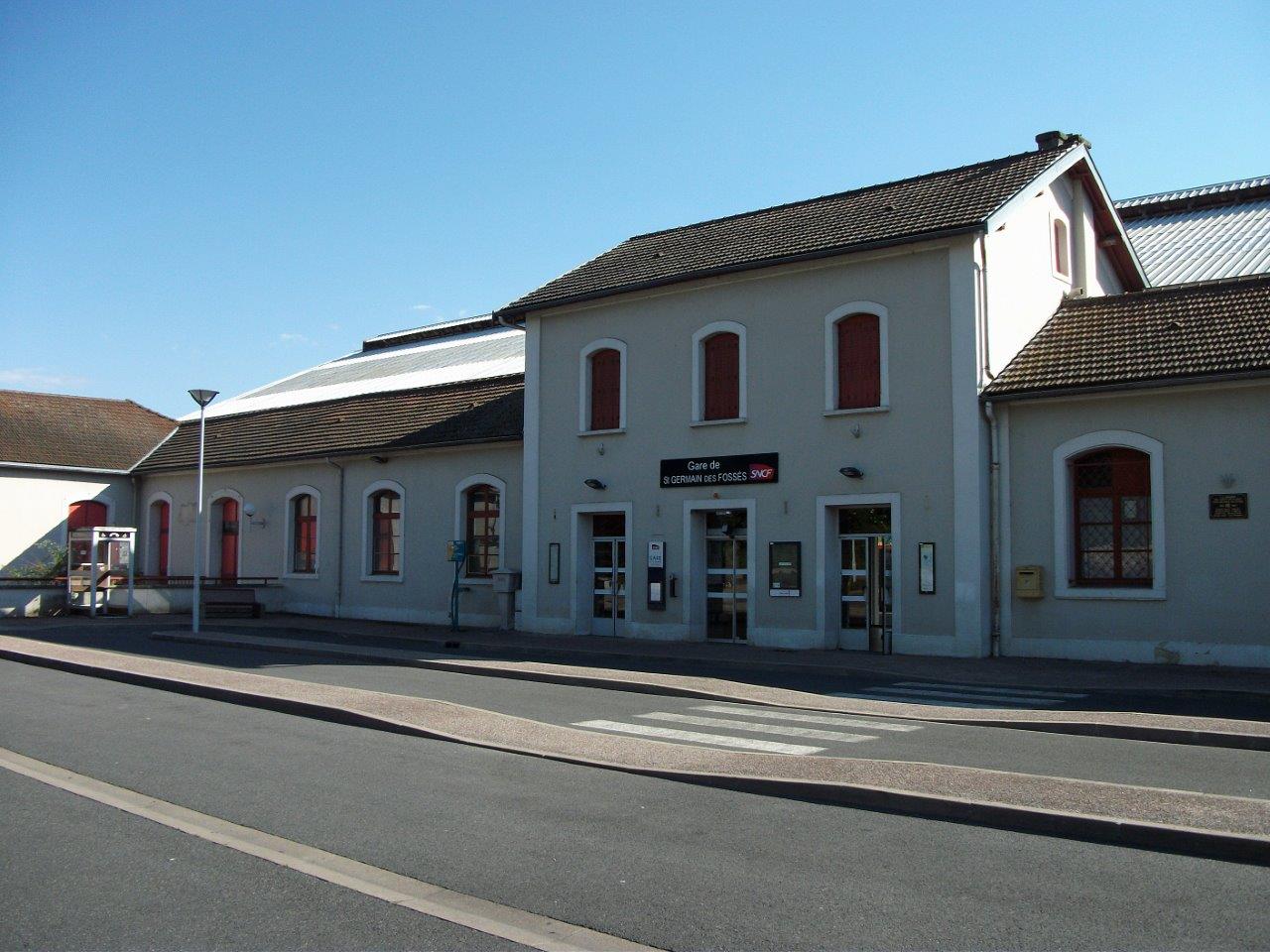
Get Directions: 0.00The train station Saint-Germain-des-Fossés is a French railway station on the line: Moret – Veneux-les-Sablons Lyon-Perrache, located in the town of Saint-Germain-des-Fossés, in the department: Allier in the region: d’Auvergne-Rhône-Alpes. Its latitude and longitude geographic coordinates are 46° 12′ 33″ North, 3° 25′ 50″ East with an altitude of 256 m. It is on the train line Moret-Veneux-les-Sablons – Lyon-Perrache, Saint-Germain-des-Fossés – Nîmes-Courbessac and Saint-Germain-des-Fossés – Read more...
-
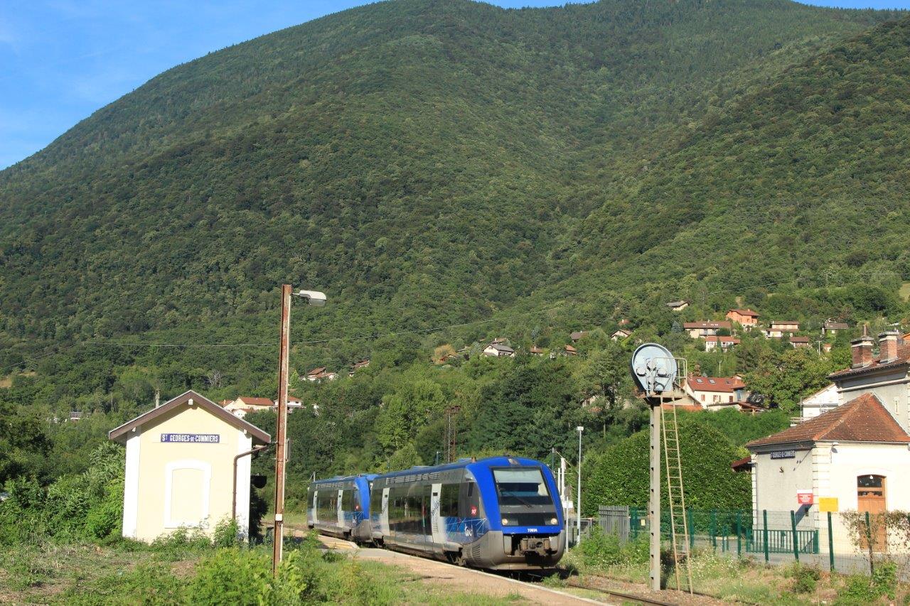
Get Directions: 0.00The train station Saint-Georges-de-Commiers is a French railway station located in the town of Saint-Georges-de-Commiers, in the department: Isère in the region: Auvergne-Rhône-Alpes. Its latitude and longitude geographic coordinates are 45° 02′ 37″ North, 5° 42′ 08″ East with an altitude of 316 m. It is on the train line Lyon-Perrache Marseille-Saint-Charles (via Grenoble) and Saint-Georges-de-Commiers Corps with 1 (plus sidings) tracks and 1 platform serving Read more...
