-
Get Directions: 0.00The train station Uckange is a French railway station on the line: Metz-Ville Zoufftgen, located near downtown Uckange, in the department: Moselle, in the region: Grand Est. Its latitude and longitude geographic coordinates are 49° 18′ 12″ North, 6° 09′ 23″ East with an altitude of 156 m. It is on the train line Metz-Ville Zoufftgen with 4 (plus sidings) tracks and 3 (including 1 central) Read more...
-
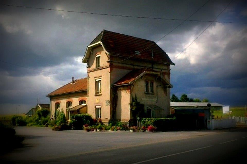
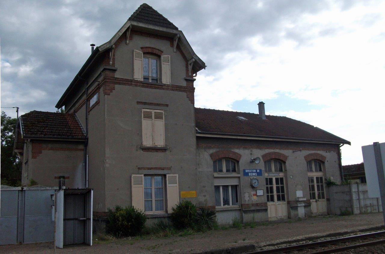
Get Directions: 0.00The train station Trois-Puits is a French railway station on the line: Épernay Reims, located in the town of Trois-Puits, in the department: Marne in the region: Grand Est. Its latitude and longitude geographic coordinates are 49° 12′ 25″ North, 4° 02′ 19″ East with an altitude of 118 m. It is on the train line Épernay – Reims with 2 tracks and 2 side platforms. Read more...
-
Get Directions: 0.00The train station Tieffenbach – Struth is a French railway station on the line: Mommenheim Sarreguemines, located in the town of Tieffenbach, near Struth, in the department: Bas-Rhin in the region: Alsace. Its latitude and longitude geographic coordinates are 48° 54′ 22″ North, 7° 15′ 20″ East with an altitude of 246 m. It is on the train line Mommenheim Sarreguemines with 2 tracks and 2 Read more...
-
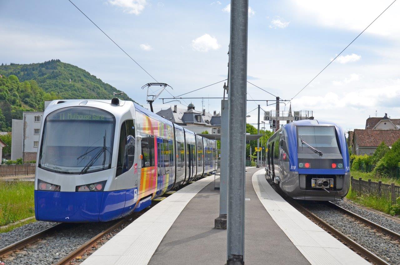
Get Directions: 0.00The train station Thann-Centre is a French station on the line Lutterbach Kruth located in the town of Thann in the department: Haut-Rhin, in the region: Grand Est. Its latitude and longitude geographic coordinates are 47° 48′ 35″ North, 7° 06′ 06″ East with an altitude of 345 m. It is on the train line Lutterbach – Kruth with 1 track and 1 platform. Read more...
-
Get Directions: 0.00The train station Thann is a French railway station on the line: Lutterbach Kruth, located in the town of Thann, in the department: Haut-Rhin) in the region: Alsace. The municipality also houses two other stations: Thann-Centre and Thann-Saint-Jacques. Its latitude and longitude geographic coordinates are 47° 48′ 32″ North, 7° 06′ 25″ East with an altitude of 337 m. It is on the train line Lutterbach Read more...
-
Get Directions: 0.00The train station Teting is a French railway station on the line: Rémilly Stiring-Wendel located in the town of Teting-sur-Nied in the department: Moselle in the region: Grand Est. Its latitude and longitude geographic coordinates are 49° 03′ 06″ North, 6° 39′ 52″ East with an altitude of 250 m. It is on the train line Rémilly Stiring-Wendel with 2 tracks and 2 platforms. Read more...
-
Get Directions: 0.00The train station Thann-Saint-Jacques is a French railway station on the line: Lutterbach Kruth located in the town of Thann in the department: Haut-Rhin, in the region: Grand Est. Its latitude and longitude geographic coordinates are 47° 48′ 48″ North, 7° 05′ 38″ East with an altitude of 345 m. It is on the train line Lutterbach – Kruth with 2 tracks and 2 platforms. Read more...
-
Get Directions: 0.00The train station Tantonville is a French railway station located in the town of Tantonville in the department: Meurthe-et-Moselle. There are no train ticket distributors. In the past, the Hôtel de la Gare located nearby had a baroque style. The station is located about 1,5Km de Tantonville. Its latitude and longitude geographic coordinates are 48° 29′ 02″ North, 6° 07′ 44″ East. It is on the Read more...
-
Get Directions: 0.00The train station Tagolsheim is a French railway station on the line: Paris-Est Mulhouse-Ville, located in the town of Tagolsheim, near the center of the village, in the department: Haut-Rhin in the region: Grand Est. Its latitude and longitude geographic coordinates are 47° 39′ 18″ North, 7° 15′ 51″ East with an altitude of 273 m. It is on the train line Paris-Est – Mulhouse-Ville with Read more...
-
Get Directions: 0.00The train station Hoelschloch, formerly Hoelschloch – Surbourg, is a French railway station on the line: Vendenheim Wissembourg, located in the town of Surbourg, near the village of Hoelschloch (which is part of Merkwiller-Pechelbronn), in the department: Bas-Rhin, in the region: Grand Est. Its latitude and longitude geographic coordinates are 48° 54′ 59″ North, 7° 49′ 53″ East with an altitude of 159 m. It is Read more...
-
Get Directions: 0.00The train station Strasbourg-Roethig is a French station on the line Strasbourg-Ville Saint-Dié, located in Strasbourg in the department: Bas-Rhin, in the region: Grand Est. It is at the railroad crossing right at the boundary between the localities of Strasbourg and Lingolsheim. Its latitude and longitude geographic coordinates are 48° 33′ 48″ North, 7° 41′ 41″ East with an altitude of 140 m. It is on Read more...
-
Get Directions: 0.00The train station Strasbourg-Krimmeri-Meinau is a French station on the line Strasbourg-Ville Strasbourg-Port-du-Rhin (vers Kehl en Allemagne), located near the boundary of the Meinau and Neudorf neighborhoods in Strasbourg. Its latitude and longitude geographic coordinates are 48° 33′ 49″ North, 7° 45′ 10″ East. It is on the train line Strasbourg-Ville Strasbourg-Port-du-Rhin with 2 (plus 2 through lines) tracks and 1 platform serving 138 992 passengers (2014) Read more...
-
Get Directions: 0.00The train station Steinbourg is a French railway station on the line: Noisy-le-Sec Strasbourg-Ville located in the town of Steinbourg, in the department: Bas-Rhin, in the region: Grand Est. Its latitude and longitude geographic coordinates are 48° 45′ 49″ North, 7° 24′ 54″ East with an altitude of 173 m. It is on the train line • Noisy-le-Sec Strasbourg-Ville and Steinbourg Schweighouse-sur-Moder (partially abandoned) with 2 Read more...
-
Get Directions: 0.00The train station Staffelfelden is a French railway station on the line: Strasbourg-Ville Saint-Louis, located in the town of Staffelfelden in the department: Haut-Rhin in the region: Grand Est. Its latitude and longitude geographic coordinates are 47° 49′ 39″ North, 7° 15′ 55″ East with an altitude of 250 m. It is on the train line Strasbourg-Ville Saint-Louis with 2 tracks and 2 platforms. Read more...
-
Get Directions: 0.00The train station Soultz-sous-Forêts is a French railway station on the line: Vendenheim Wissembourg, located in the town of Soultz-sous-Forêts in the department: Bas-Rhin in the region: Grand Est. Its latitude and longitude geographic coordinates are 48° 56′ 05″ North, 7° 52′ 57″ East with an altitude of 152 m. It is on the train line Vendenheim Wissembourg with 2 (plus sidings) tracks and 2 platforms. Read more...
-
Get Directions: 0.00The train station Sillery is a French railway station on the line: Châlons-en-Champagne Reims-Cérès, located in the town of Sillery in the department: Marne in the region: Grand Est. Its latitude and longitude geographic coordinates are 49° 12′ 12″ North, 4° 08′ 39″ East with an altitude of 89 m. It is on the train line Châlons-en-Champagne Reims-Cérès with 2 tracks and 2 platforms. Read more...
-
Get Directions: 0.00The train station Sierentz is a French railway station on the line: Strasbourg-Ville Saint-Louis, located in the town of Sierentz, in the department: Haut-Rhin, in the region: Grand Est. Its latitude and longitude geographic coordinates are 47° 39′ 22″ North, 7° 27′ 34″ East with an altitude of 258 m. It is on the train line Strasbourg-Ville Saint-Louis with 2 (plus une sidings) tracks and 2 Read more...
-
Get Directions: 0.00The train station Sept-Saulx is a French railway station on the line: Châlons-en-Champagne Reims-Cérès, located in the town of Sept-Saulx, in the department: Marne in the region: Grand Est. Its latitude and longitude geographic coordinates are 49° 09′ 04″ North, 4° 15′ 25″ East with an altitude of 98 m. It is on the train line Châlons-en-Champagne Reims-Cérès with 2 tracks and 2 platforms. Read more...
-
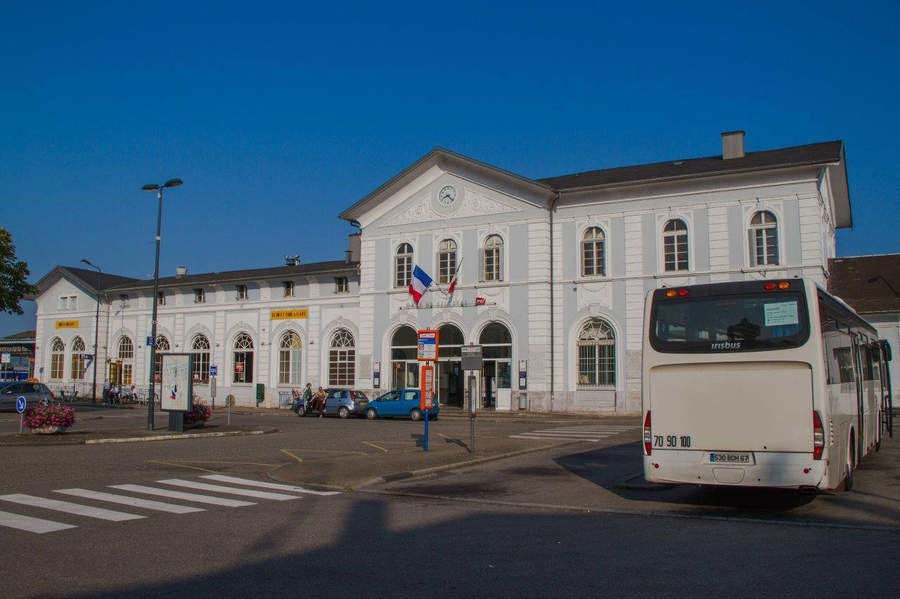
Get Directions: 0.00The train station Sélestat (formerly gare de Schlestadt) is a French railway station, located in the town of Sélestat, in the department: Bas-Rhin, in the region: Grand Est. Its latitude and longitude geographic coordinates are 48° 15′ 36″ North, 7° 26′ 35″ East with an altitude of 176 m. It is on the train line Strasbourg-Ville Saint-Louis, Sélestat Lesseux – Frapelle (partially abandoned), Sélestat Saverne (partially Read more...
-
Get Directions: 0.00The train station Seltz is a French railway station on the line: Strasbourg Lauterbourg, located in the town of Seltz in the department: Bas-Rhin in the region: Grand Est. Its latitude and longitude geographic coordinates are 48° 53′ 48″ North, 8° 05′ 54″ East with an altitude of 124 m. It is on the train line Strasbourg Lauterbourg and Mertzwiller Seltz with 2 tracks and 2 Read more...
-
Get Directions: 0.00The train station Schwindratzheim is a French railway station on the line: Paris-Est Strasbourg-Ville, located in the town of Schwindratzheim, in the department: Bas-Rhin, in the region: Grand Est. Its latitude and longitude geographic coordinates are 48° 45′ 13″ North, 7° 36′ 10″ East with an altitude of 155 m. It is on the train line Paris-Est Strasbourg-Ville with 2 tracks and 2 platforms. Read more...
-
Get Directions: 0.00The train station Schweighouse-sur-Moder is a French railway station on the line: Haguenau Hargarten – Falck, located in the town of Schweighouse-sur-Moder in the department: Bas-Rhin in the region: Grand Est. Its latitude and longitude geographic coordinates are 48° 49′ 44″ North, 7° 44′ 33″ East. It is on the train line Haguenau Hargarten – Falck and Steinbourg Schweighouse-sur-Moder (partially abandoned) with 2 tracks and 2 Read more...
-
Get Directions: 0.00The train station Schopperten is a French railway station on the line: Berthelming Sarreguemines, located in the town of Schopperten, in the department: Bas-Rhin, in the region: Grand Est. Its latitude and longitude geographic coordinates are 48° 56′ 45″ North, 7° 03′ 21″ East. It is on the train line Berthelming Sarreguemines (partially abandoned) with 1 track and 1 platform serving 21 469 passengers (2014) per year. Read more...
-
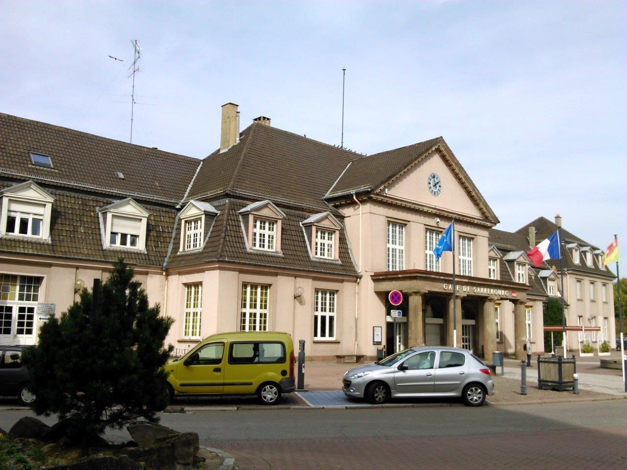
Get Directions: 0.00The train station Sarrebourg is a French railway station located in the town of Sarrebourg, in the department: Moselle, in the region: Grand Est. Its latitude and longitude geographic coordinates are 48° 44′ 19″ North, 7° 03′ 07″ East with an altitude of 251 m. It is on the train line Noisy-le-Sec Strasbourg-Ville, Connection to Sarrebourg Sarraltroff and Sarrebourg Abreschviller La Forge – Vallérysthal-Troisfontaines (abandoned) with Read more...
-
Get Directions: 0.00The train station Sarreinsming is a French railway station on the line: Mommenheim Sarreguemines, located in Remsbach within the territory of the town of Sarreinsming, in the department: Moselle in the region: Grand Est. Its latitude and longitude geographic coordinates are 49° 05′ 10″ North, 7° 06′ 44″ East with an altitude of 212 m. It is on the train line Mommenheim Sarreguemines with 2 tracks Read more...
-
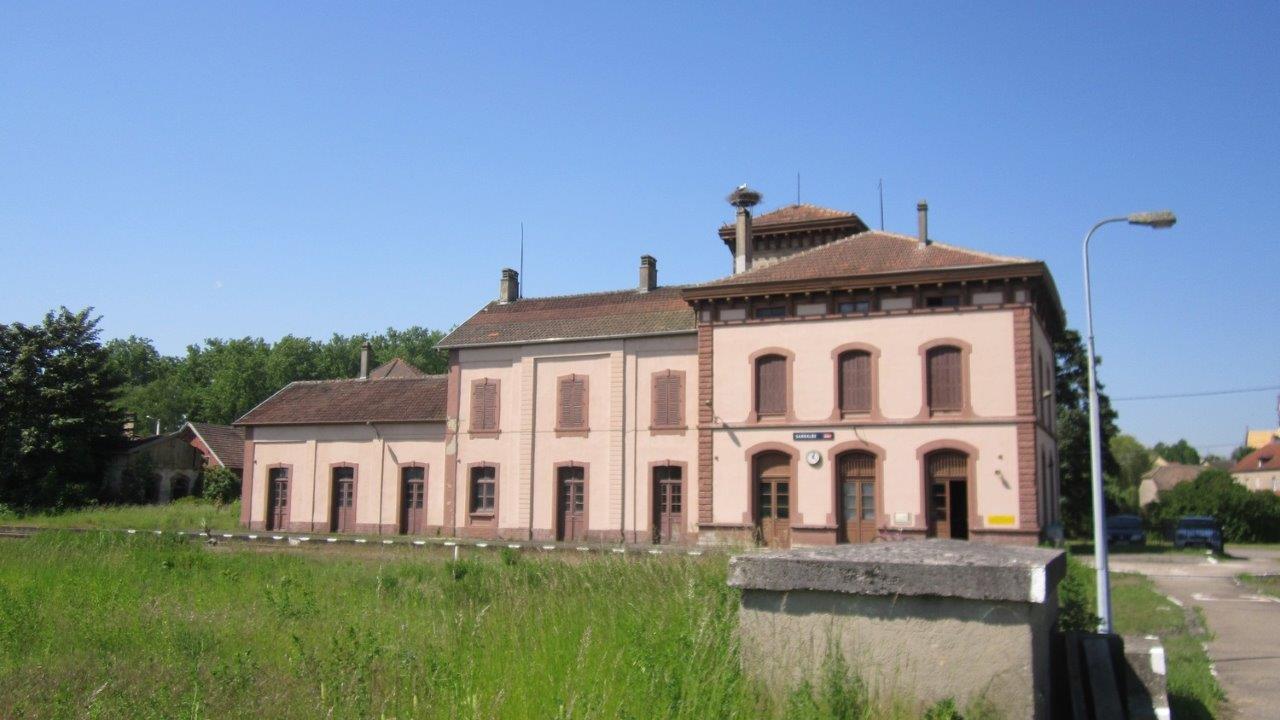
Get Directions: 0.00The train station Sarralbe (now closed) was a French railway station located in Salzbronn, within the territory of the town of Sarralbe, in the department: Moselle, in the region: Grand Est. Its latitude and longitude geographic coordinates are 49° 00′ 03″ North, 7° 02′ 12″ East with an altitude of 212 m. It is on the train line • Berthelming Sarreguemines (partially abandoned), Kalhausen Sarralbe and Read more...
-
Get Directions: 0.00The train station Sanry-sur-Nied is a French railway station on the line: Réding Metz-Ville, located in the town of Sanry-sur-Nied in the department: Moselle in the region: Grand Est. Its latitude and longitude geographic coordinates are 49° 02′ 41″ North, 6° 20′ 22″ East with an altitude of 219 m. It is on the train line Reding Metz-Ville with 2 tracks and 2 platforms. Read more...
-
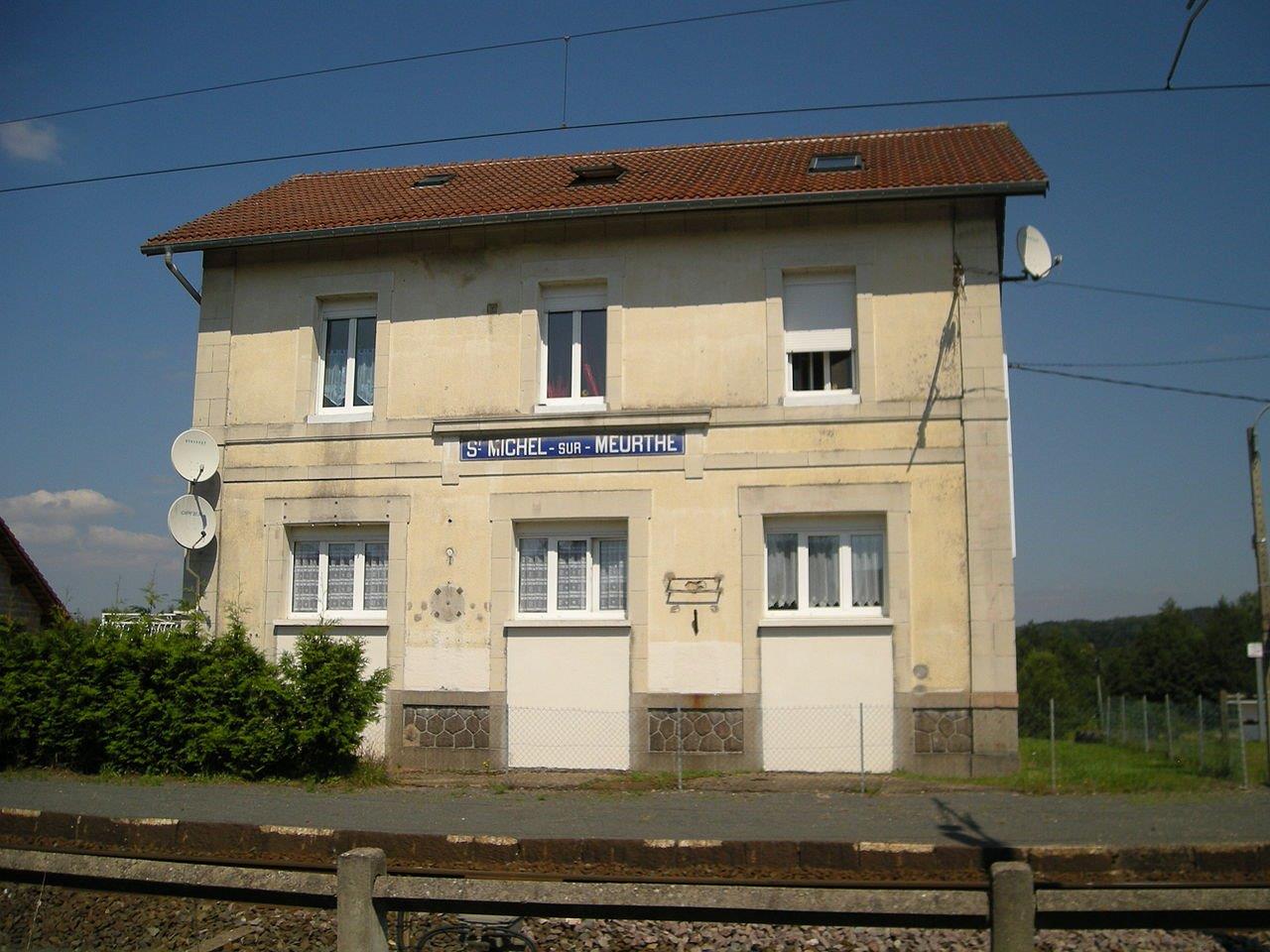
Get Directions: 0.00The train station Saint-Michel-sur-Meurthe is a French railway station on the line: Lunéville Saint-Dié, located in the town of Saint-Michel-sur-Meurthe, in the department: Vosges in the region: Grand Est. Its latitude and longitude geographic coordinates are 48° 19′ 37″ North, 6° 53′ 18″ East with an altitude of 315 m. It is on the train line Lunéville Saint-Dié with 1 track and 1 platform. Read more...
-
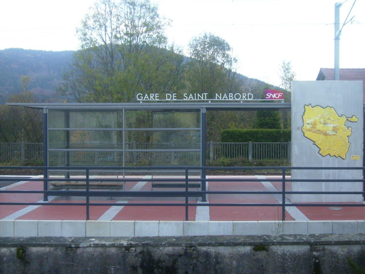
Get Directions: 0.00The train station Saint-Nabord is a French railway station on the line: Épinal Bussang, located on the territory of Saint-Nabord, in the department: Vosges in the region: Lorraine. Its latitude and longitude geographic coordinates are 48° 02′ 45″ North, 6° 34′ 54″ East with an altitude of 404 m. It is on the train line Épinal Bussang with 1 track and 1 platform. Read more...
-
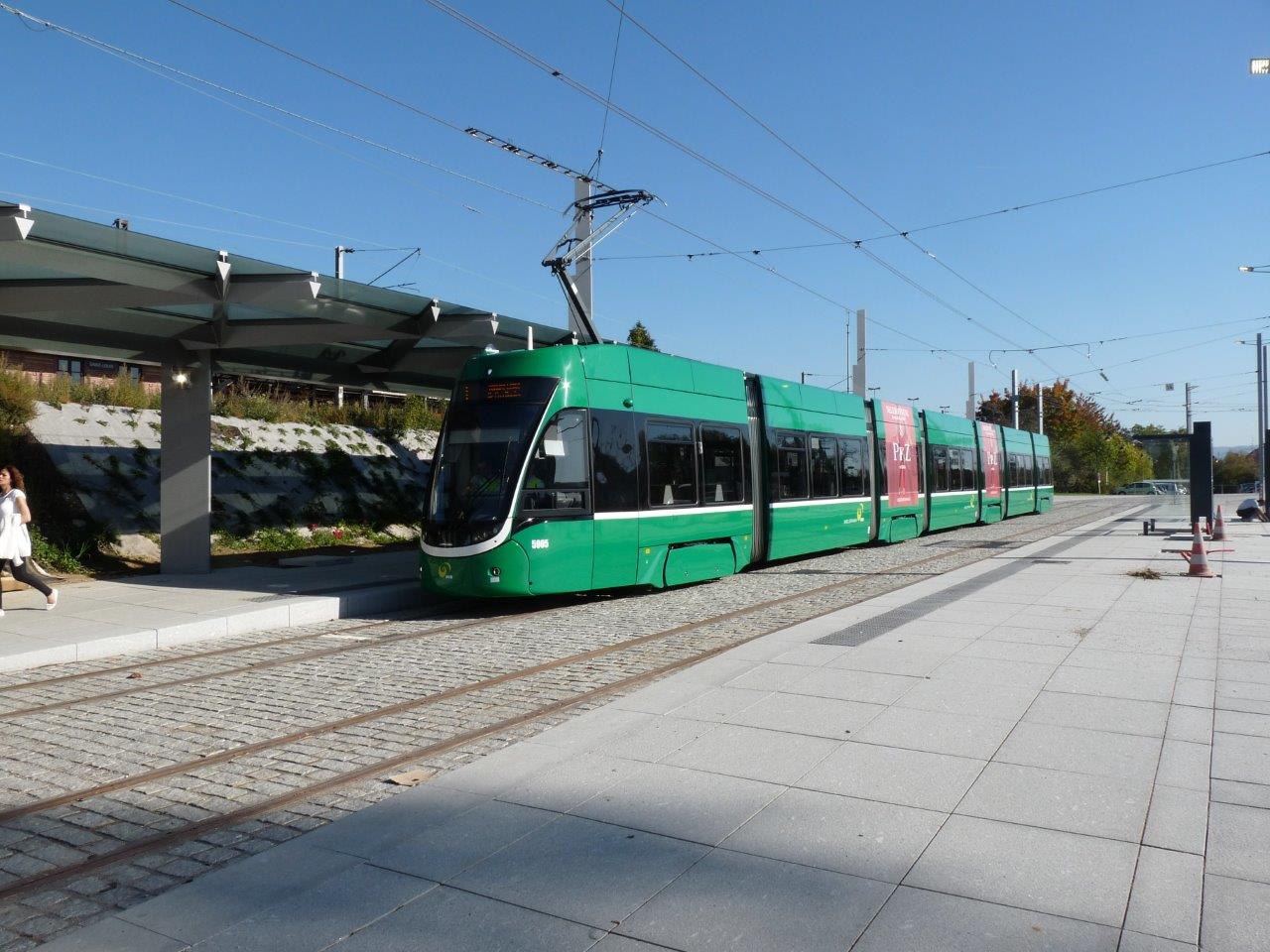
Get Directions: 0.00The train station Saint-Louis (Haut-Rhin) is a French railway station located in the town of Saint-Louis, in the department: Haut-Rhin, in the region: Grand Est. Its latitude and longitude geographic coordinates are 47° 35′ 26″ North, 7° 33′ 21″ East with an altitude of 253 m. It is on the train line Strasbourg-Ville <=> Saint-Louis and Saint-Louis <=> Huningue with 4 (plus sidings) tracks and 2 Read more...


