-
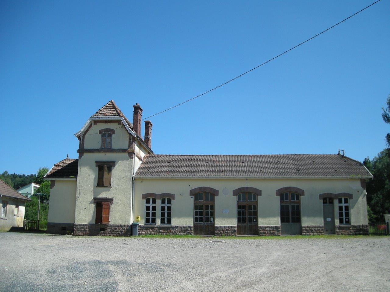
Get Directions: 0.00The train station Provenchères-sur-Fave is a French railway station on the line: Strasbourg-Ville Saint-Dié, located in the town of Provenchères-et-Colroy, in the department: Vosges, in the region: Grand Est. Its latitude and longitude geographic coordinates are 48° 18′ 17″ North, 7° 05′ 08″ East with an altitude of 407 m. It is on the train line Strasbourg-Ville Saint-Dié with 1 track and 1 platform. Read more...
-
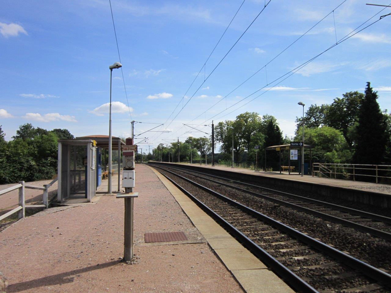
Get Directions: 0.00The train station Prunay is a French railway station on the line: Châlons-en-Champagne Reims-Cérès, located in the town of Prunay, in the department: Marne in the region: Grand Est. Its latitude and longitude geographic coordinates are 49° 11′ 55″ North, 4° 11′ 02″ East with an altitude of 91 m. It is on the train line Châlons-en-Champagne Reims-Cérès with 2 tracks and 2 platforms. Read more...
-
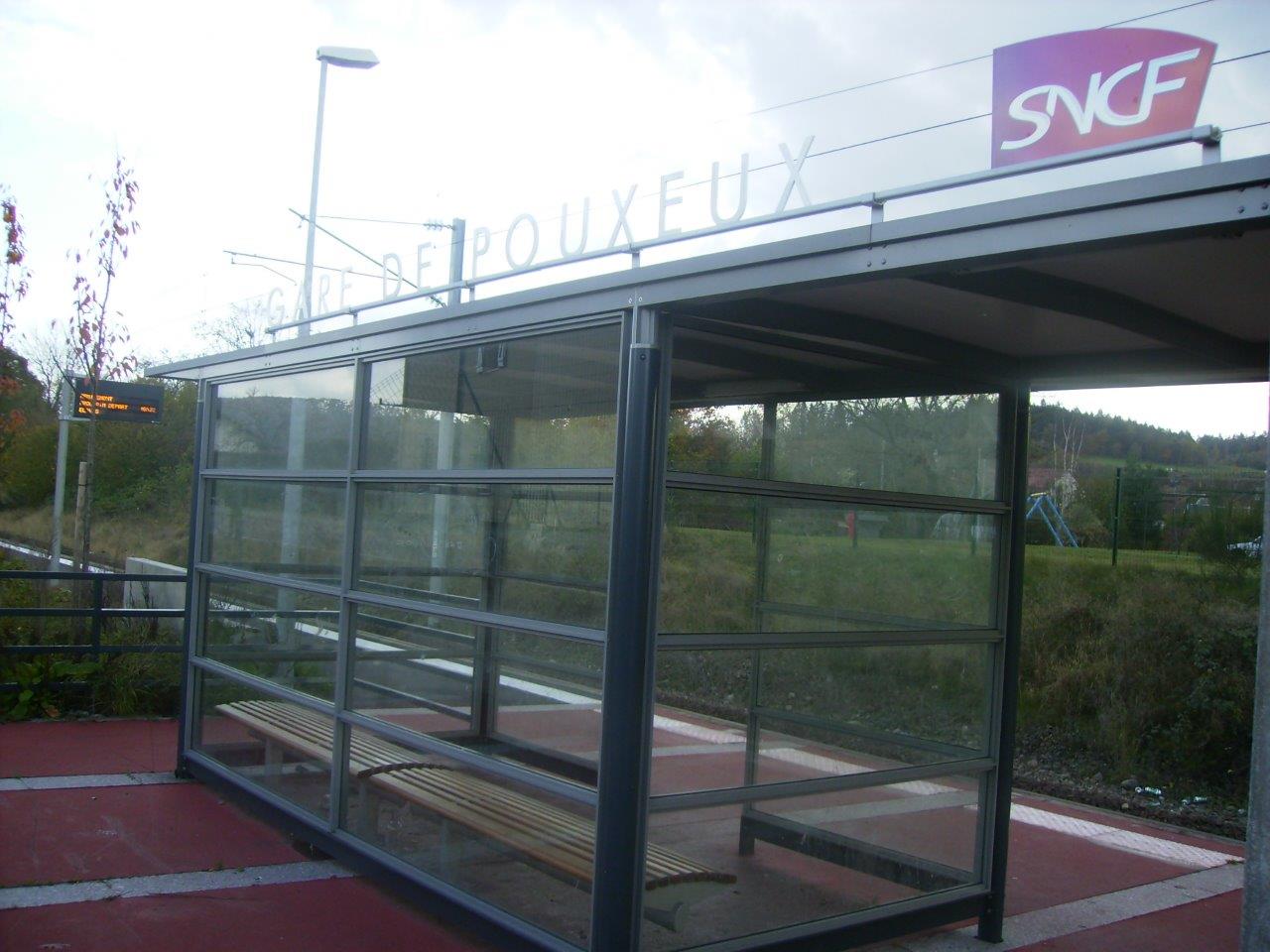
Get Directions: 0.00The train station Pouxeux is a French railway station on the line: Épinal Bussang, located in the town of Pouxeux, in the department: Vosges in the region: Lorraine. Its latitude and longitude geographic coordinates are 48° 06′ 32″ North, 6° 34′ 10″ East with an altitude of 367 m. It is on the train line Épinal Bussang with 1 track and 1 platform. Read more...
-
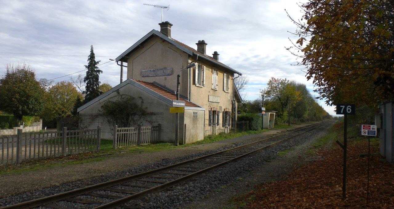
Get Directions: 0.00The train station Praye-sous-Vaudémont is a French railway station located in the town of Praye in the department: Meurthe-et-Moselle. Its latitude and longitude geographic coordinates are 48° 25′ 58″ North, 6° 06′ 03″ East. It is on the train line Jarville-la-Malgrange – Mirecourt with 1 track and 0 platforms. Read more...
-
Get Directions: 0.00The train station Vincey is a French railway station on the line: Blainville – Damelevières Lure, located in the town of Portieux, near Vincey, in the department: Vosges in the region: Grand Est. Its latitude and longitude geographic coordinates are 48° 20′ 37″ North, 6° 20′ 08″ East with an altitude of 280 m. It is on the train line Blainville – Damelevières Lure with 2 Read more...
-
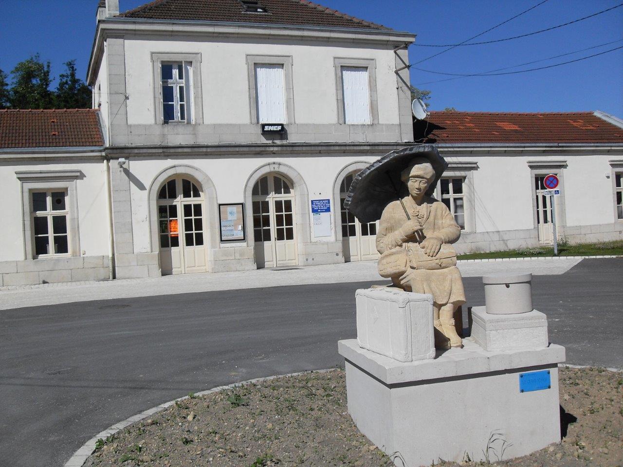
Get Directions: 0.00The train station Pont-Saint-Vincent is a French railway station located in the town of Pont-Saint-Vincent in the department: Meurthe-et-Moselle. Its latitude and longitude geographic coordinates are 48° 36′ 09″ North, 6° 06′ 10″ East. It is on the train line Jarville-la-Malgrange – Mirecourt with 2 tracks and 2 platforms. Read more...
-
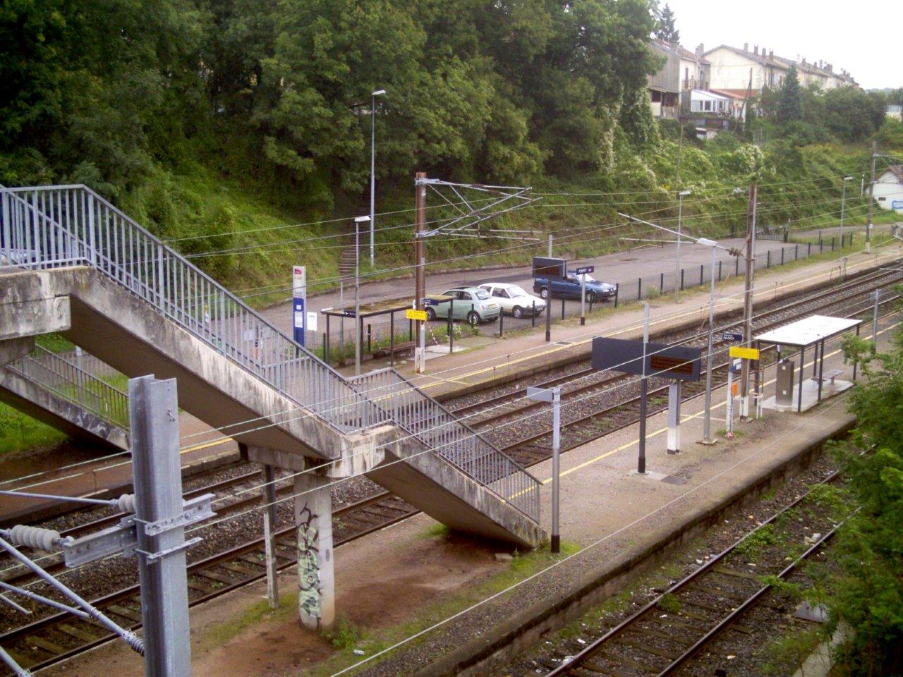
Get Directions: 0.00The train station Pompey is a French railway station on the line: Frouard Novéant, located in the town of Pompey, to nord de Nancy, in the department: Meurthe-et-Moselle in the region: Grand Est. Its latitude and longitude geographic coordinates are 48° 46′ 23″ North, 6° 07′ 51″ East with an altitude of 196 m. It is on the train line Frouard Novéant and Pompey Nomeny with Read more...
-
Get Directions: 0.00The train station Pont--Mousson is a French railway station on the line: Frouard Novéant, located in the town of Pont--Mousson in the department: Meurthe-et-Moselle in the region: Grand Est. Its latitude and longitude geographic coordinates are 48° 54′ 01″ North, 6° 03′ 02″ East with an altitude of 182 m. It is on the train line Frouard Novéant with 2 (plus sidings) tracks and 2 platforms. Read more...
-
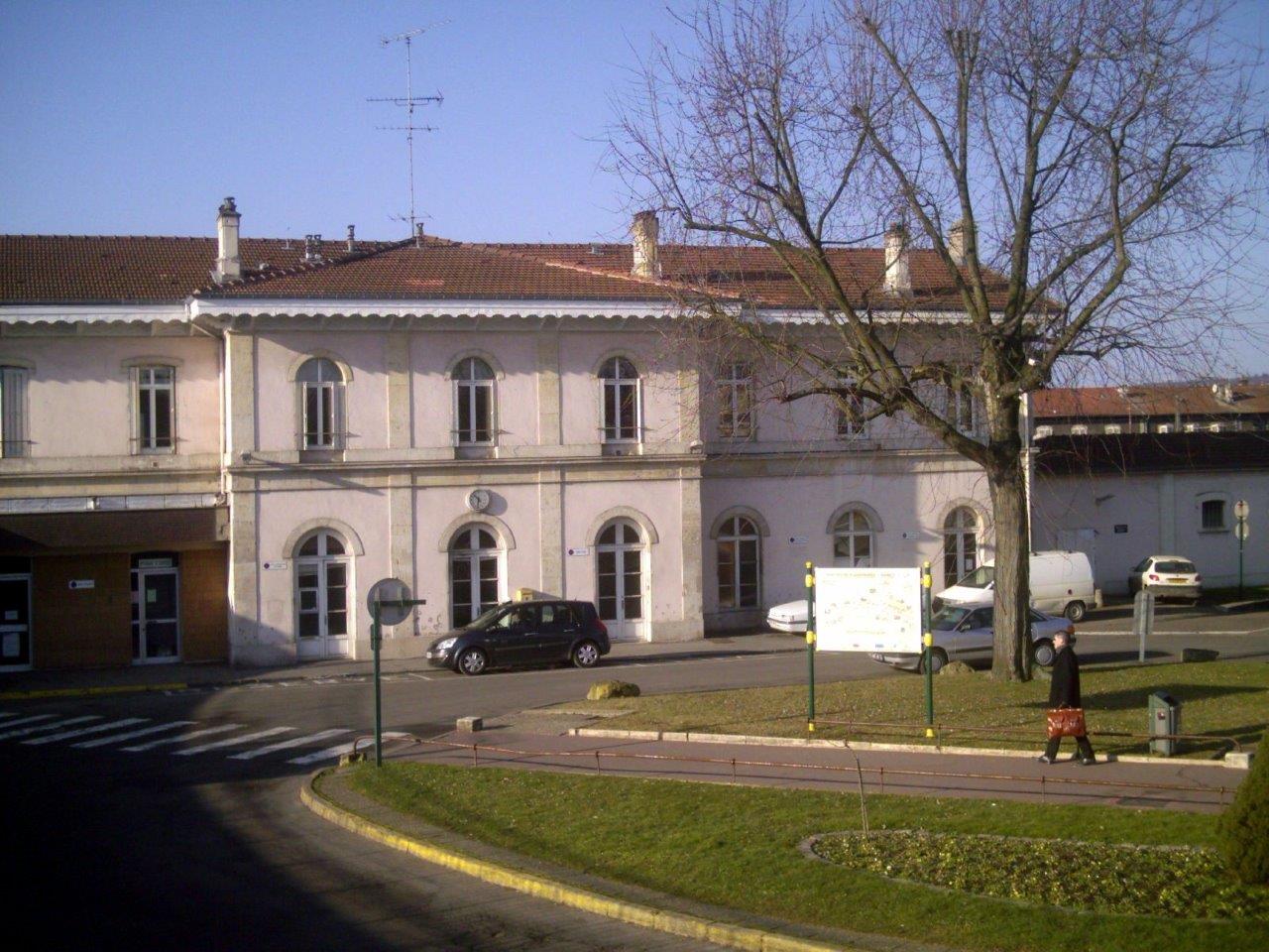
Get Directions: 0.00The train station Poix-Terron is a French railway station on the line: Soissons Givet, located near downtown within the territory of the town of Poix-Terron, in the department: Ardennes in the region: Grand Est. Elle dessert notamment le CFA BTP des Ardennes. Its latitude and longitude geographic coordinates are 49° 39′ 00″ North, 4° 38′ 11″ East with an altitude of 178 m. It is on Read more...
-
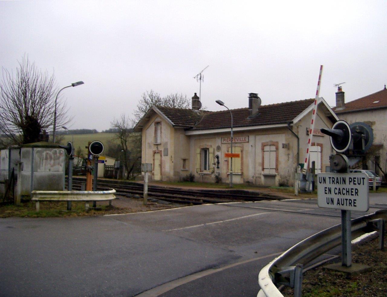
Get Directions: 0.00The train station Pierreville is a French railway station located in the town of Pierreville in the department: Meurthe-et-Moselle. Its latitude and longitude geographic coordinates are 48° 32′ 56″ North, 6° 07′ 27″ East. It is on the train line Jarville-la-Malgrange – Mirecourt with 2 tracks and 2 platforms. Read more...
-
Get Directions: 0.00The train station Peltre is a French railway station on the line: Réding Metz-Ville located in the town of Peltre, in the department: Moselle, in the region: Grand Est. Its latitude and longitude geographic coordinates are 49° 04′ 26″ North, 6° 13′ 20″ East with an altitude of 193 m. It is on the train line Réding Metz-Ville with 2 tracks and 2 platforms. Read more...
-
Get Directions: 0.00The train station Pagny-sur-Meuse is a French railway station on the line: Noisy-le-Sec Strasbourg-Ville (Paris – Strasbourg), located in the town of Pagny-sur-Meuse, in the department: Meuse, in the region: Grand Est. Its latitude and longitude geographic coordinates are 48° 41′ 48″ North, 5° 44′ 02″ East with an altitude of 254 m. It is on the train line Noisy-le-Sec Strasbourg-Ville and Bologne Pagny-sur-Meuse with 3 Read more...
-
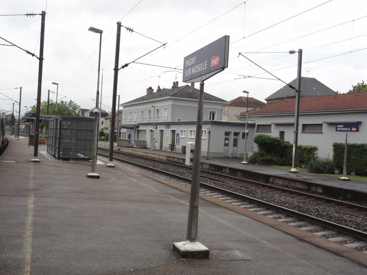
Get Directions: 0.00The train station Pagny-sur-Moselle is a French railway station on the line: Frouard Novéant, located in the town of Pagny-sur-Moselle in the department: Meurthe-et-Moselle in the region: Grand Est. Its latitude and longitude geographic coordinates are 48° 59′ 08″ North, 6° 01′ 32″ East with an altitude of 181 m. It is on the train line Frouard Novéant and Longuyon Onville et Pagny-sur-Moselle with 4 (plus Read more...
-
Get Directions: 0.00The train station Onville is a French railway station on the train lines: Lérouville Metz-Ville and Longuyon Onville et Pagny-sur-Moselle, located in the town of Onville, in the department: Meurthe-et-Moselle in the region: Grand Est. Its latitude and longitude geographic coordinates are 49° 00′ 49″ North, 5° 58′ 45″ East with an altitude of 196 m. It is on the train line Lérouville Metz-Ville and Longuyon Read more...
-
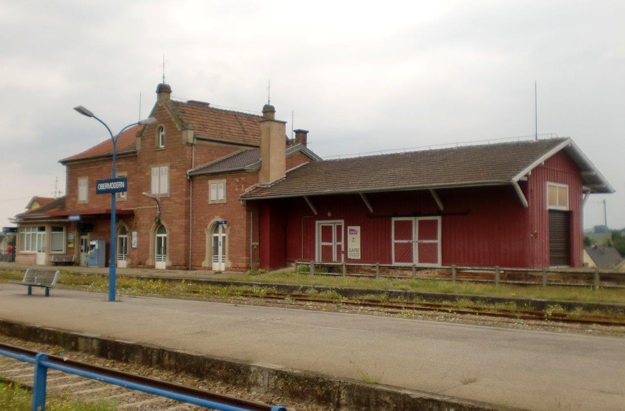
Get Directions: 0.00The train station Obermodern is a French railway station on the train lines: Mommenheim Sarreguemines and Steinbourg Schweighouse-sur-Moder, located in Obermodern on the territory of the town of Obermodern-Zutzendorf, in the department: Bas-Rhin in the region: Grand Est. Its latitude and longitude geographic coordinates are 48° 50′ 33″ North, 7° 32′ 51″ East with an altitude of 187 m. It is on the train line Mommenheim Read more...
-
Get Directions: 0.00The train station Oderen is a French railway station on the line: Lutterbach Kruth located in the town of Oderen in the department: Haut-Rhin, in the region: Grand Est. Its latitude and longitude geographic coordinates are 47° 54′ 38″ North, 6° 58′ 25″ East with an altitude of 463 m. It is on the train line Lutterbach – Kruth with 1 track and 1 platform. Read more...
-
Get Directions: 0.00The train station Oermingen is a French railway station on the line: Mommenheim Sarreguemines, located in the town of Oermingen, in the department: Bas-Rhin in the region: Alsace. Its latitude and longitude geographic coordinates are 49° 00′ 02″ North, 7° 07′ 55″ East with an altitude of 222 m. It is on the train line Mommenheim Sarreguemines with 2 tracks and 2 platforms. Read more...
-
Get Directions: 0.00The train station Novéant is a French railway station on the line: Lérouville Metz-Ville, located in the town of Novéant, in the department: Moselle in the region: Grand Est. Its latitude and longitude geographic coordinates are 49° 01′ 39″ North, 6° 03′ 08″ East with an altitude of 176 m. It is on the train line Lérouville Metz-Ville and Frouard Novéant with 4 tracks and 2 Read more...
-
Get Directions: 0.00The train station Châtel – Nomexy is a French railway station on the line: Blainville – Damelevières Lure, located in the town of Nomexy, near Châtel-sur-Moselle, in the department: Vosges in the region: Grand Est. Its latitude and longitude geographic coordinates are 48° 18′ 26″ North, 6° 23′ 16″ East with an altitude of 290 m. It is on the train line Blainville – Damelevières Lure Read more...
-
Get Directions: 0.00The train station Nogent-sur-Seine is a French railway station on the line: Paris-Est Mulhouse-Ville, located in the town of Nogent-sur-Seine, in the department: Aube in the region: Grand Est. Its latitude and longitude geographic coordinates are 48° 29′ 53″ North, 3° 29′ 38″ East with an altitude of 64 m. It is on the train line Paris-Est – Mulhouse with 2 (plus sidings) tracks and 2 Read more...
-
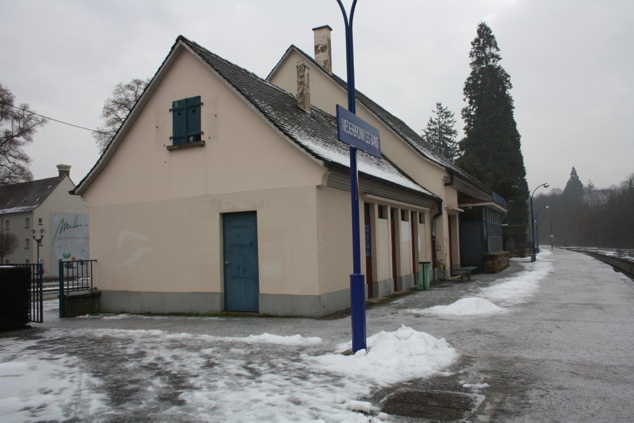
Get Directions: 0.00The train station Niederbronn-les-Bains, also called the gare de Niederbronn, is a French railway station on the line: Haguenau Hargarten – Falck, located in the town of Niederbronn-les-Bains in the department: Bas-Rhin in the region: Grand Est. Its latitude and longitude geographic coordinates are 48° 57′ 09″ North, 7° 38′ 02″ East with an altitude of 199 m. It is on the train line Haguenau Hargarten Read more...
-
Get Directions: 0.00The train station Neuves-Maisons is a French railway station located in the town of Neuves-Maisons in the department: Meurthe-et-Moselle. Its latitude and longitude geographic coordinates are 48° 36′ 53″ North, 6° 06′ 28″ East. It is on the train line Jarville-la-Malgrange – Mirecourt and Toul – Rosières-aux-Salines with 2 tracks and 2 platforms. Read more...
-
Get Directions: 0.00The train station Neufchâteau is a French railway station on the line: Culmont – Chalindrey Toul, located in the town of Neufchâteau, sub-prefecture of the department: Vosges, in the region: Grand Est. Its latitude and longitude geographic coordinates are 48° 21′ 30″ North, 5° 41′ 25″ East with an altitude of 289 m. It is on the train line • Culmont – Chalindrey Toul, • Nançois Read more...
-
Get Directions: 0.00The train station Mutzig is a French railway station on the line: Strasbourg-Ville Saint-Dié, located in the town of Mutzig, in the department: Bas-Rhin, in the region: Grand Est. Its latitude and longitude geographic coordinates are 48° 32′ 01″ North, 7° 27′ 45″ East with an altitude of 190 m. It is on the train line Strasbourg-Ville Saint-Dié with 2 tracks and 2 platforms serving 241 417 Read more...
-
Get Directions: 0.00The train station Mundolsheimis a French railway station located in the town of Mundolsheim, department: Bas-Rhin, in the region: Grand Est. Its latitude and longitude geographic coordinates are 48° 38′ 41″ North, 7° 43′ 16″ East with an altitude of 148 m. It is on the train line Paris – Strasbourg with 4 tracks and 3 (including 1 central plus 1 not in service) platforms. Read more...
-
Get Directions: 0.00The train station Mulhouse-Hasenrain is a French railway station on the line: Paris-Est Mulhouse-Ville, located in an area of the city of Mulhouse, in the department: Haut-Rhin in the region: Grand Est. Its latitude and longitude geographic coordinates are 47° 44′ 11″ North, 7° 19′ 52″ East with an altitude of 246 m. It is on the train line Paris-Est – Mulhouse-Ville with 2 tracks and Read more...
-
Get Directions: 0.00The train station Mullerhof is a French railway station on the line: Strasbourg-Ville Saint-Dié, located in Mullerhof within the territory of the town of Muhlbach-sur-Bruche in the department: Bas-Rhin in the region: Grand Est. Its latitude and longitude geographic coordinates are 48° 31′ 28″ North, 7° 18′ 43″ East with an altitude of 245 m. It is on the train line Strasbourg-Ville Saint-Dié with 2 tracks Read more...
-
Get Directions: 0.00The train station Munchhausen is a French railway station on the line: Strasbourg Lauterbourg located in the town of Munchhausen in the department: Bas-Rhin in the region: Grand Est. Its latitude and longitude geographic coordinates are 48° 55′ 26″ North, 8° 08′ 28″ East with an altitude of 119 m. It is on the train line Strasbourg Lauterbourg with 2 tracks and 2 platforms. Read more...
-
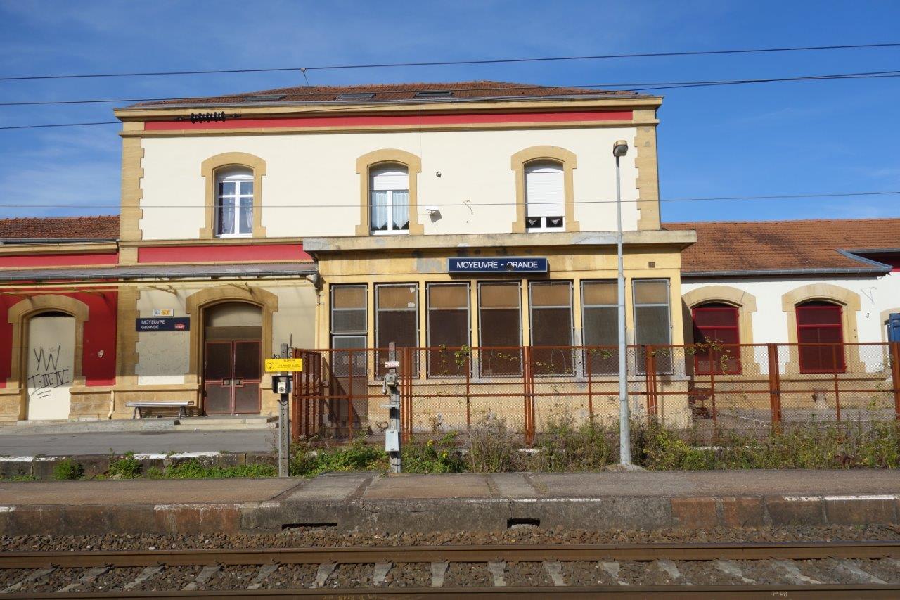
Get Directions: 0.00The train station Moyeuvre-Grande is a French railway station on the line: Saint-Hilaire-au-Temple Hagondange, located in the town of Moyeuvre-Grande, in the department: Moselle in the region: Grand Est. Its latitude and longitude geographic coordinates are 49° 14′ 49″ North, 6° 02′ 36″ East with an altitude of 174 m. It is on the train line Saint-Hilaire-au-Temple Hagondange with 2 tracks and 2 platforms. Read more...
-
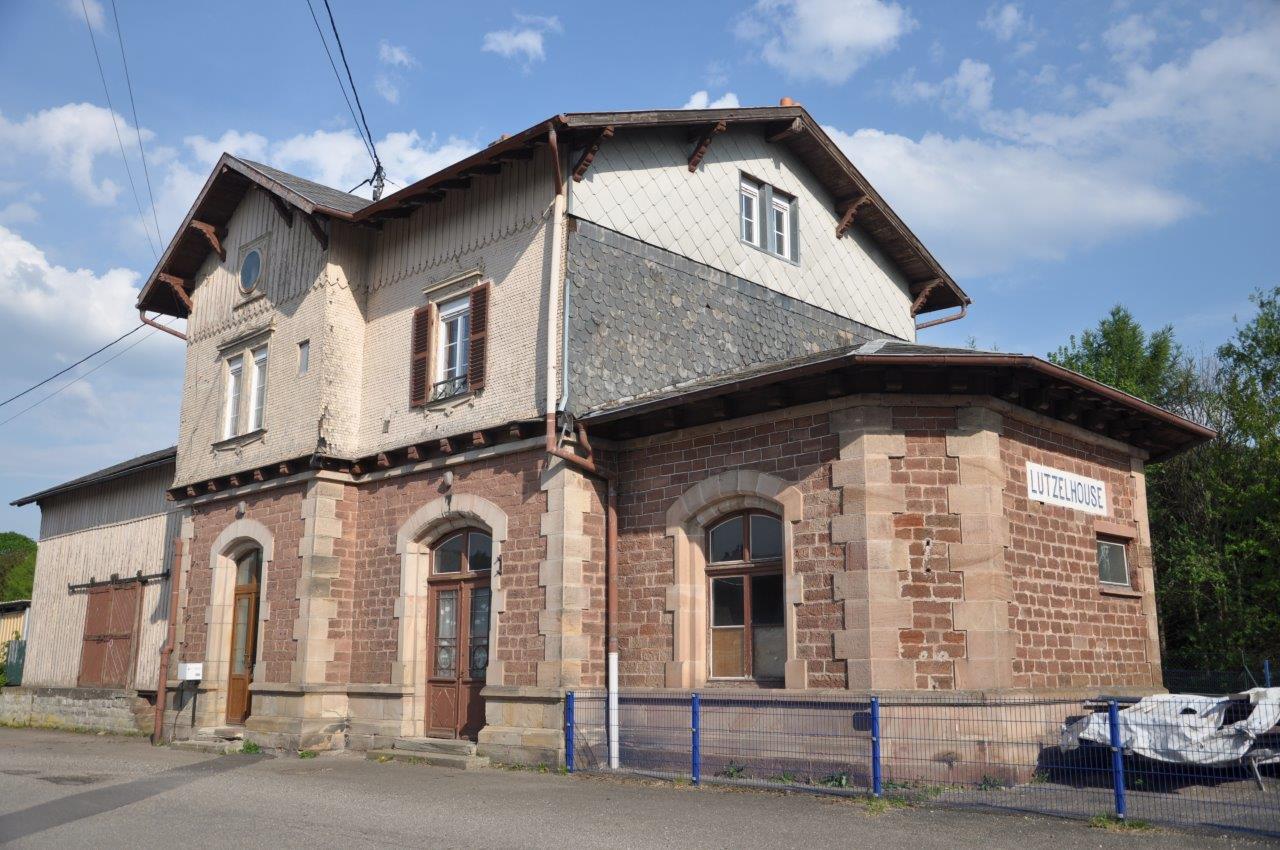
Get Directions: 0.00The train station Muhlbach-sur-Bruche – Lutzelhouse, also called the gare de Lutzelhouse, is a French railway station on the line: Strasbourg-Ville Saint-Dié, located on the territory of the municipalities of Muhlbach-sur-Bruche and Lutzelhouse, in the department: Bas-Rhin, in the region: Grand Est. Its latitude and longitude geographic coordinates are 48° 31′ 05″ North, 7° 17′ 37″ East with an altitude of 255 m. It is on Read more...
