
flowered-garden-normandy-32.jpg

About France Category: Maps
- Profile
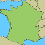
Overview of France Maps
You should find a map of France that you need here. On this page, you’ll find the thumbnails. When you click on the image the FULL-size map will load. Some of these maps are rather large and could take a little while to fully load. So… patience.
To view full-size image and zoom in. Right click on image and ‘open in new tab’
These maps are free for you to download.
- Click on the thumbnail and then just right click on your choice and save it to your hard drive.
- When you use them on a website please credit with this link: BonjourLaFrance.com
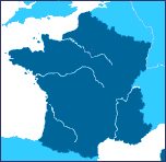
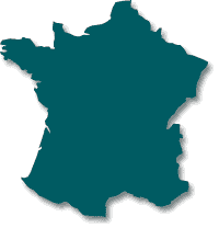
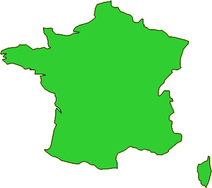
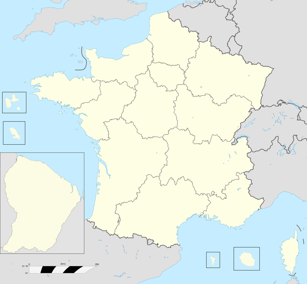
Blank France Maps
Outlines of the borders of France


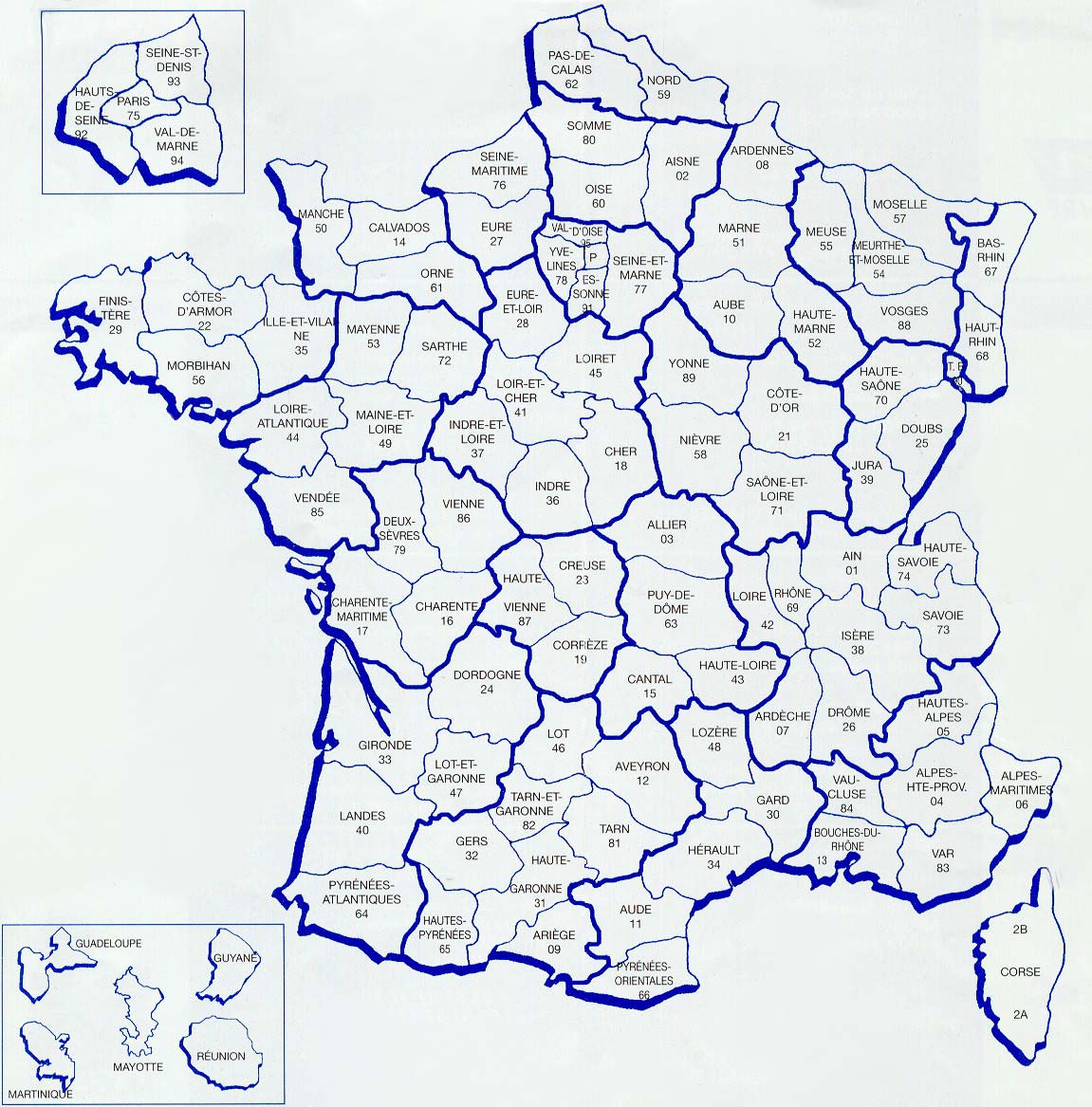
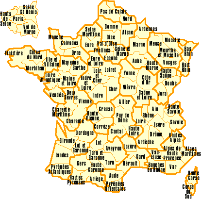
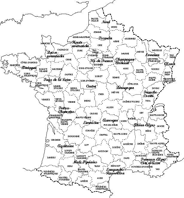
Departments on France Maps
Maps of France Departments showing the almost 100 administrative areas in France.


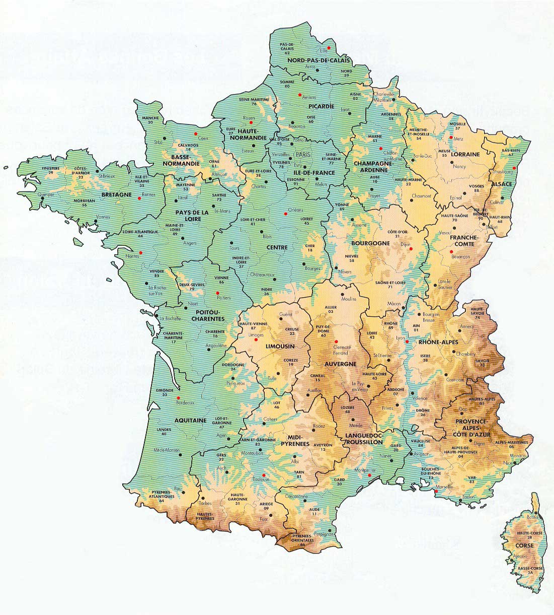
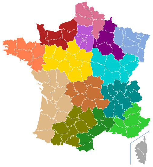
Regions on France Maps
These maps of France Regions reveal the 13 administrative areas in France established in 2016.


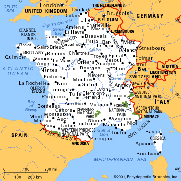
Cities on France Maps
The major cities in France

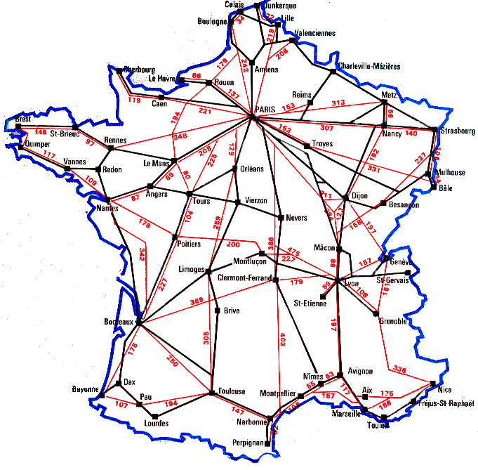
Driving Distances on France Maps
A map of France showing driving distances between the major cities.


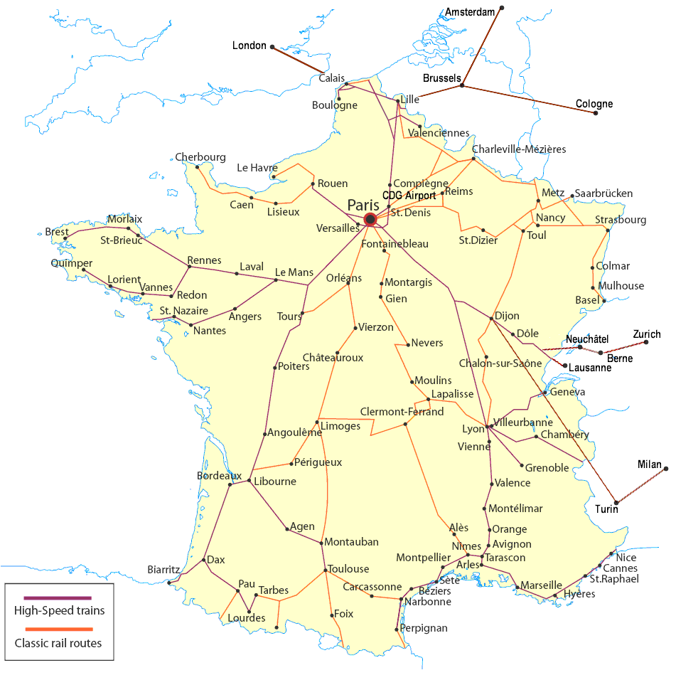
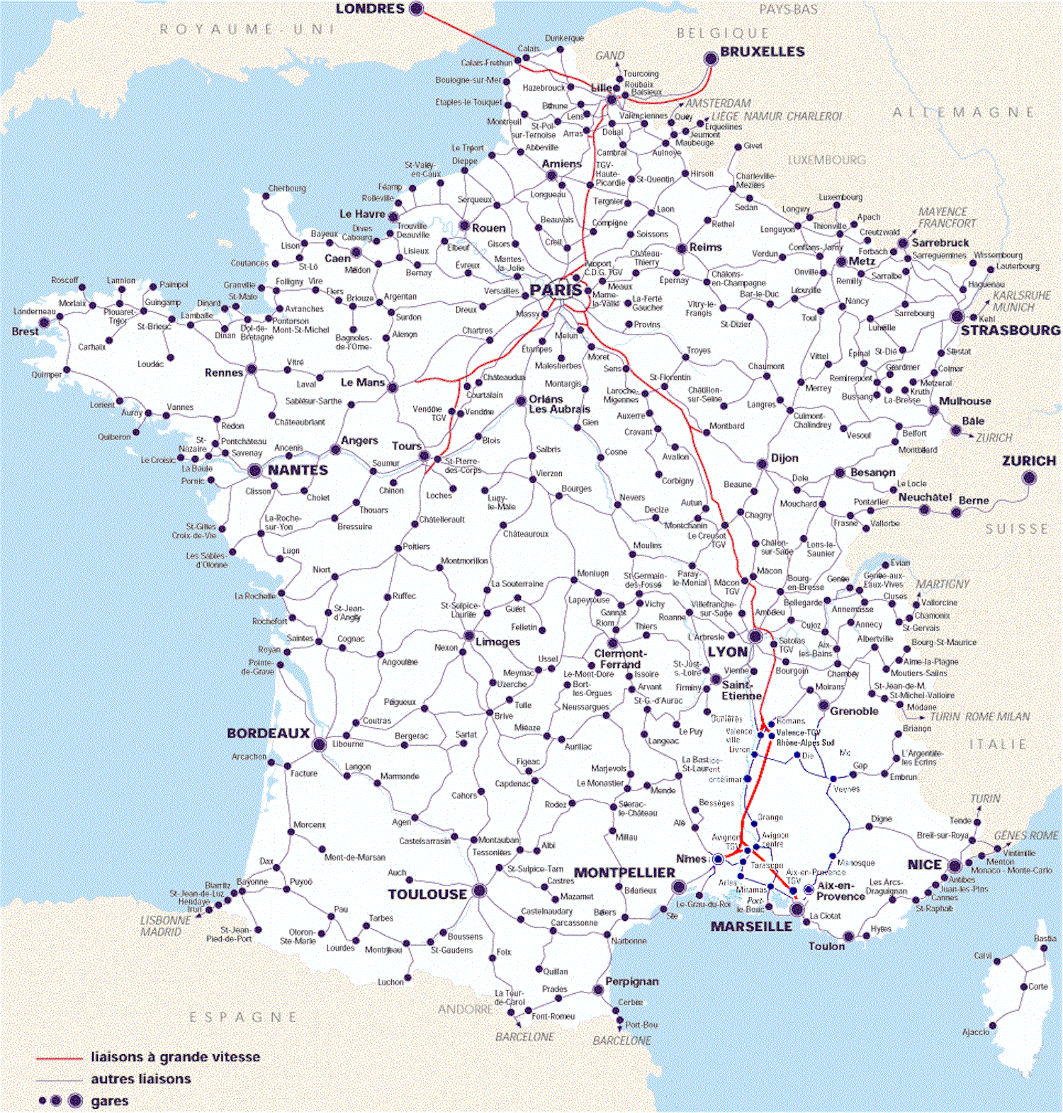
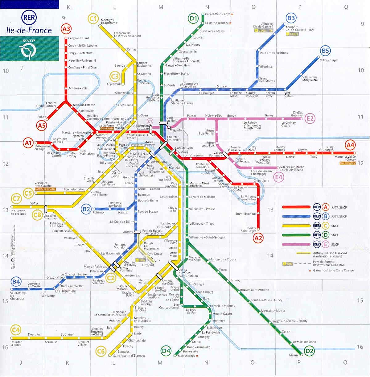
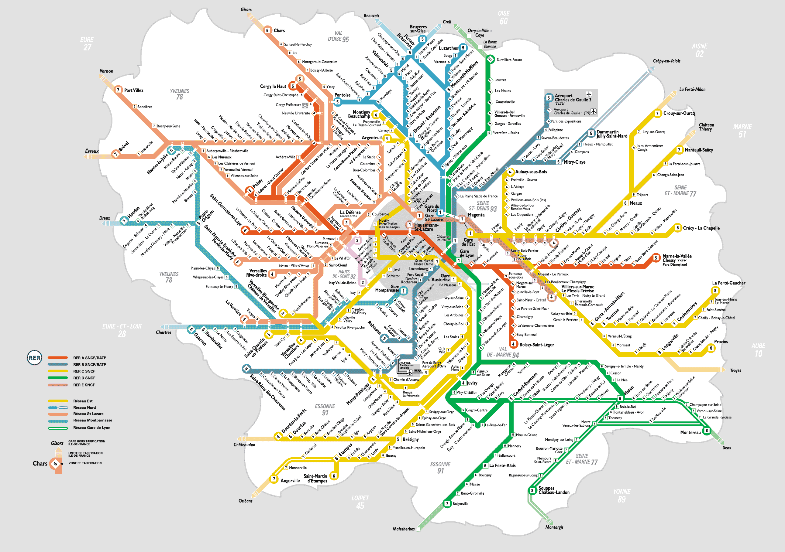
Railways on France Maps
Train networks and distances between cities.


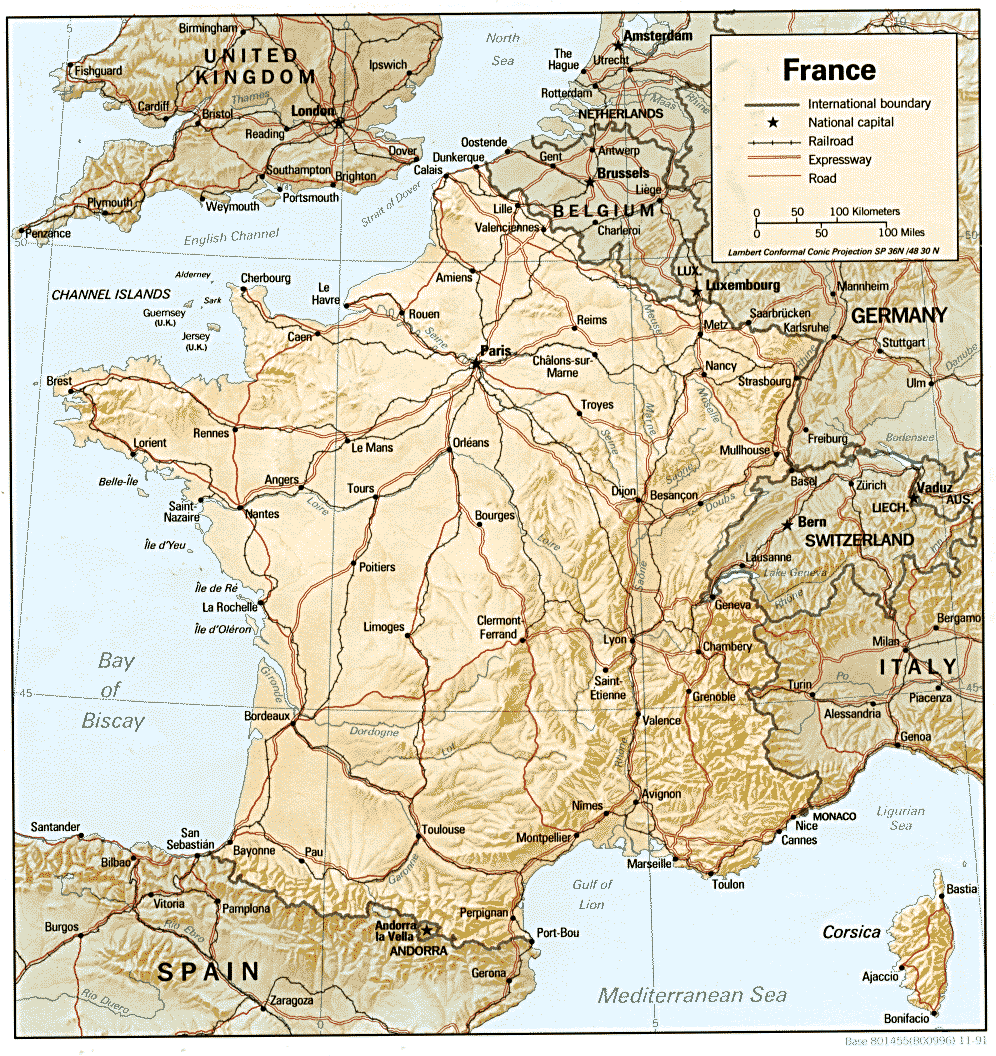
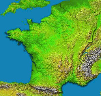
Geography France Map
Topographical and geographic maps of France showing what it really looks like from space. A physical map of a part of the Alps and ski slopes in France.


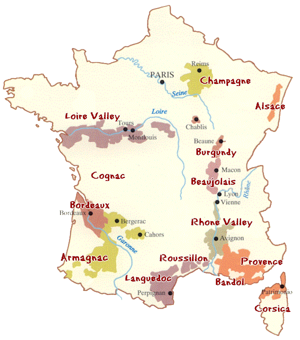
Wine Regions on France Maps
Maps of the French Wine Regions. Information about French wine coming soon.


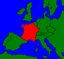
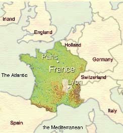
France on a Map of Europe
Displaying France’s geographical and strategic location in Europe


- Photos