-
Get Directions: 0.00The train station La Ferté-Saint-Aubin is a French railway station on the line: Les Aubrais – Orléans Montauban-Ville-Bourbon, located in the town of La Ferté-Saint-Aubin, in the department: Loiret, in the region: Centre-Val de Loire. Its latitude and longitude geographic coordinates are 47° 43′ 16″ North, 1° 55′ 56″ East with an altitude of 106 m. It is on the train line Les Aubrais – Orléans Read more...
-
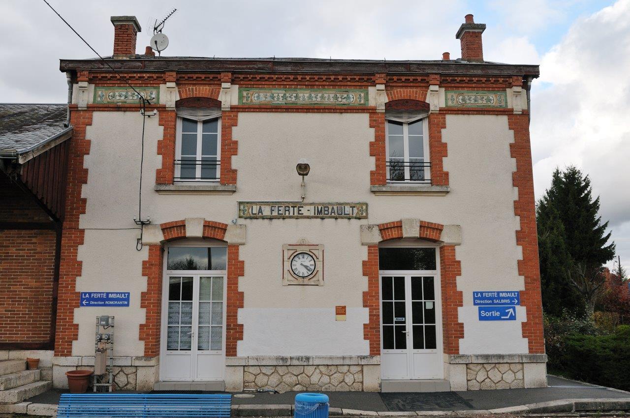
Get Directions: 0.00The train station La Ferté-Imbault is a French railway station on the line: Salbris to Blanc, located in the town of La Ferté-Imbault, in the department: Loir-et-Cher, in the region: Centre-Val de Loire. Its latitude and longitude geographic coordinates are 47° 23′ 01″ North, 1° 57′ 29″ East with an altitude of 100 m. It is on the train line Salbris Blanc with 2 tracks and Read more...
-
Get Directions: 0.00The train station la Chapelle-sur-Loire is a French railway station on the line: Tours Saint-Nazaire, located in the town of La Chapelle-sur-Loire, in the department: Indre-et-Loire, in the region: Centre-Val de Loire. Its latitude and longitude geographic coordinates are 47° 15′ 05″ North, 0° 13′ 07″ East with an altitude of 35 m. It is on the train line Tours Saint-Nazaire with 2 tracks and 2 Read more...
-
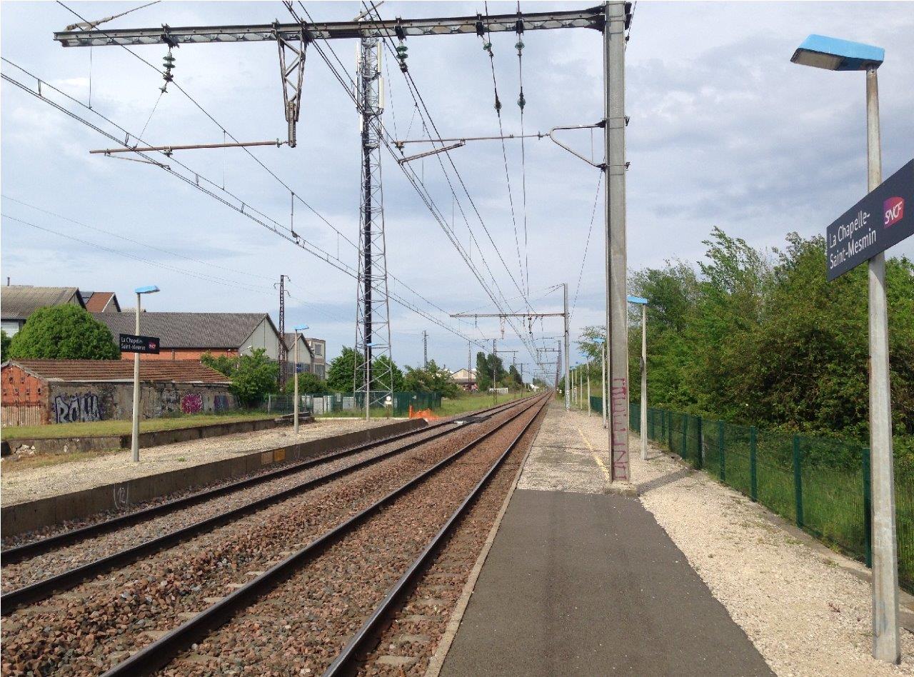
Get Directions: 0.00The train station La Chapelle-Saint-Mesmin is a French station on the line Paris-Austerlitz Bordeaux-Saint-Jean, located in the town of La Chapelle-Saint-Mesmin, in the department: Loiret, in the region: Centre-Val de Loire. Its latitude and longitude geographic coordinates are 47° 53′ 35″ North, 1° 49′ 37″ East with an altitude of 106 m. It is on the train line Paris-Austerlitz Bordeaux-Saint-Jean with 2 tracks and 2 platforms. Read more...
-
Get Directions: 0.00The train station Jouy is a French railway station on the line: Paris-Montparnasse Brest, located in the town of Jouy, in the department: Eure-et-Loir, in the region: Centre-Val de Loire. Its latitude and longitude geographic coordinates are 48° 30′ 37″ North, 1° 33′ 27″ East with an altitude of 121 m. It is on the train line Paris-Montparnasse Brest with 2 tracks and 2 side platforms. Read more...
-
Get Directions: 0.00The train station La Douzillère is a French railway station on the line: Joué-lès-Tours Châteauroux, located in the town of Joué-lès-Tours, in the department: Indre-et-Loire, in the region: Centre-Val de Loire. Its latitude and longitude geographic coordinates are 47° 20′ 19″ North, 0° 39′ 11″ East with an altitude of 91 m. It is on the train line Joué-lès-Tours Châteauroux with 1 track and 1 platform. Read more...
-
Get Directions: 0.00The train station Issoudun is a French railway station on the lines Aubrais – Orléans Montauban-Ville-Bourbon, located in the town of Issoudun, in the department: Indre, in the region: Centre-Val de Loire. Its latitude and longitude geographic coordinates are 46° 56′ 56″ North, 1° 59′ 09″ East with an altitude of 129 m. It is on the train line Les Aubrais – Orléans Montauban-Ville-Bourbon Saint-Florent-sur-Cher Issoudun Read more...
-
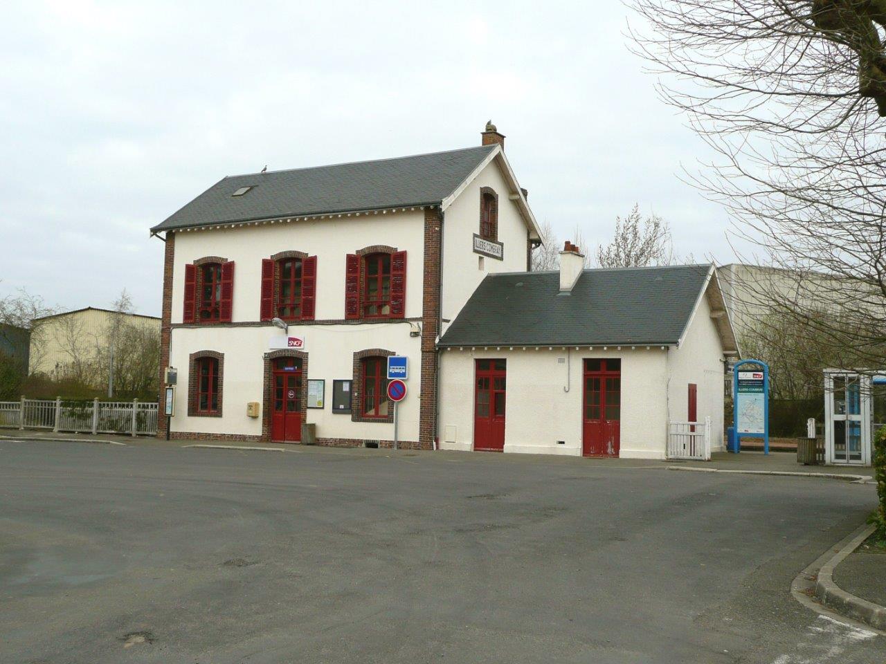
Get Directions: 0.00The train station Illiers-Combray is a French railway station on the line: Chartres Bordeaux-Saint-Jean, located in the town of Illiers-Combray, in the department: Eure-et-Loir, in the region: Centre-Val de Loire. Its latitude and longitude geographic coordinates are 48° 18′ 15″ North, 1° 14′ 41″ East with an altitude of 162 m. It is on the train line Chartres Bordeaux-Saint-Jean with 2 (plus 3 sidings) tracks and Read more...
-
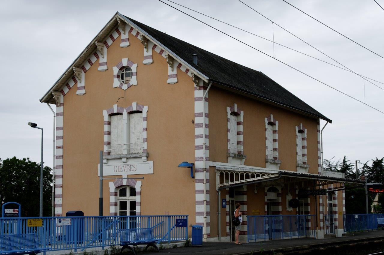
Get Directions: 0.00The train station Gièvres is a French railway station on the train lines: Vierzon Saint-Pierre-des-Corps and Salbris to Blanc, located in the town of Gièvres, in the department: Loir-et-Cher, in the region: Centre-Val de Loire. Its latitude and longitude geographic coordinates are 47° 16′ 44″ North, 1° 40′ 04″ East with an altitude of 96 m. It is on the train line Vierzon Saint-Pierre-des-Corps Salbris Blanc Read more...
-
Get Directions: 0.00The train station Fréteval – Morée is a French railway station on the line: Brétigny La Membrolle-sur-Choisille, located in the town of Fréteval, near Morée, in the department: Loir-et-Cher, in the region: Centre. Its latitude and longitude geographic coordinates are 47° 53′ 31″ North, 1° 12′ 42″ East with an altitude of 89 m. It is on the train line Brétigny La Membrolle-sur-Choisille with 2 tracks Read more...
-
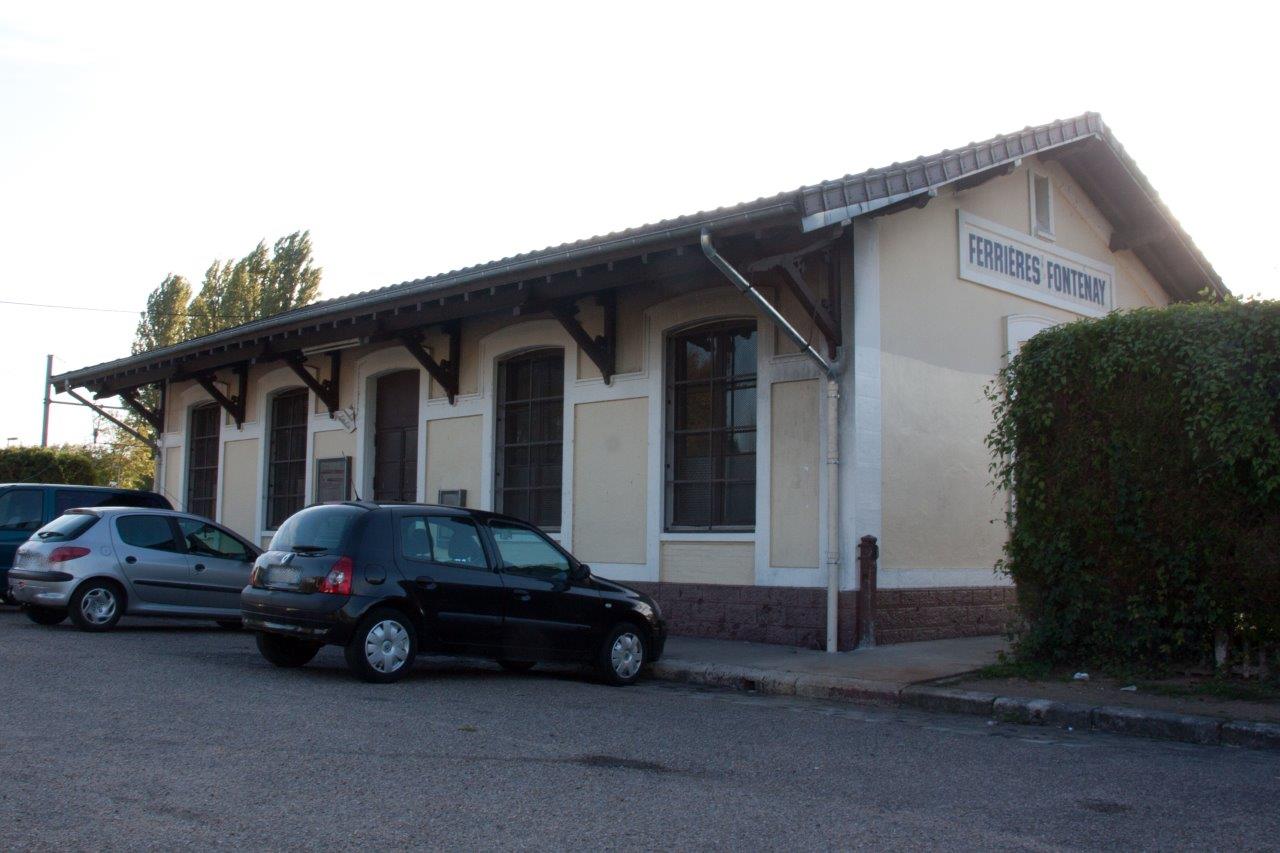
Get Directions: 0.00The train station Ferrières – Fontenay is a French railway station on the line: Moret – Veneux-les-Sablons Lyon-Perrache, located in the town of Fontenay-sur-Loing, near Ferrières-en-Gâtinais, in the department: Loiret, in the region: Centre-Val de Loire. It is in zone: Tarification Île-de-France non applicable. Its latitude and longitude geographic coordinates are 48° 05′ 48″ North, 2° 46′ 20″ East. It is on the train line Moret Read more...
-
Get Directions: 0.00The train station Foëcy is a French railway station on the line: Vierzon Saincaize, located in the town of Foëcy, in the department: Cher, in the region: Centre. Its latitude and longitude geographic coordinates are 47° 10′ 33″ North, 2° 09′ 45″ East with an altitude of 116 m. It is on the train line Vierzon Saincaize with 2 tracks and 2 side platforms. Read more...
-
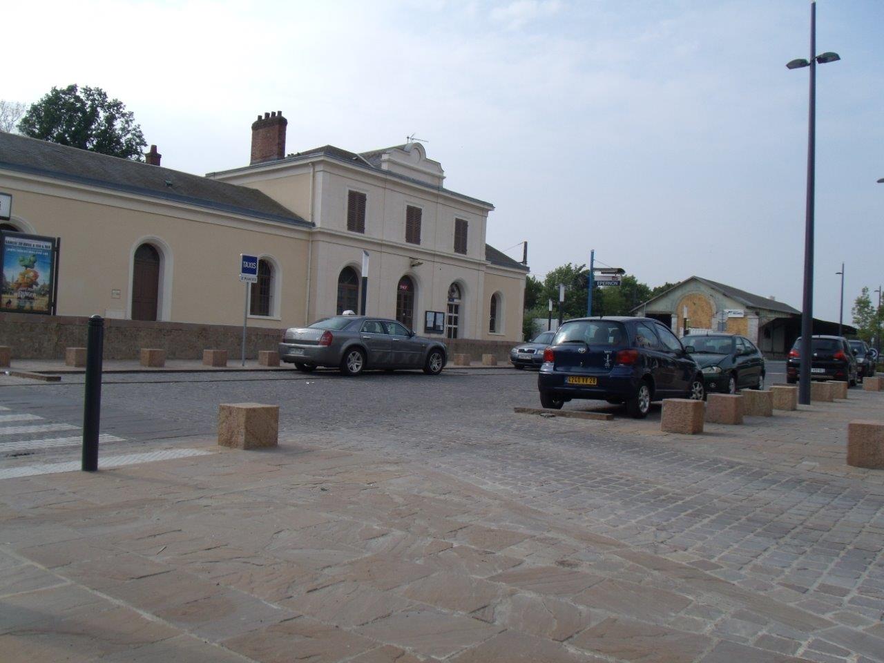
Get Directions: 0.00The train station Épernon is a French railway station on the line: Paris-Montparnasse Brest, located in the town of Épernon, in the department: Eure-et-Loir, in the region: Centre-Val de Loire. Its latitude and longitude geographic coordinates are 48° 36′ 19″ North, 1° 40′ 54″ East with an altitude of 120 m. It is on the train line Paris-Montparnasse Brest with 2 tracks and 2 side platforms. Read more...
-
Get Directions: 0.00The train station Éguzon is a French railway station on the line Aubrais – Orléans Montauban-Ville-Bourbon, located in the town of Éguzon-Chantôme, in the department: Indre, in the region: Centre-Val de Loire. Its latitude and longitude geographic coordinates are 46° 26′ 26″ North, 1° 33′ 08″ East with an altitude of 284 m. It is on the train line Les Aubrais – Orléans Montauban-Ville-Bourbon with 2 Read more...
-
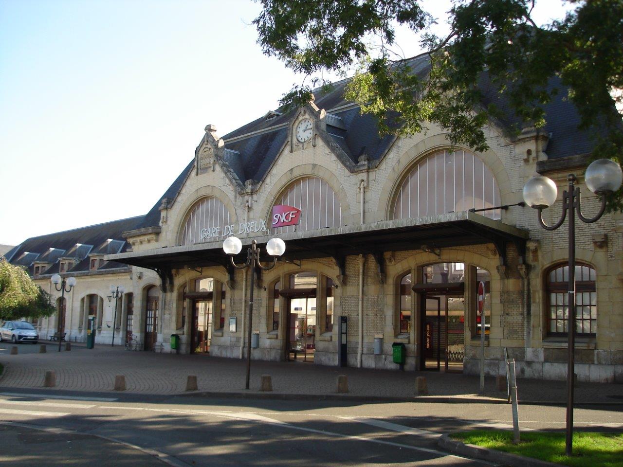
Get Directions: 0.00The train station Dreux is a French railway station, located in the town of Dreux, in the department: Eure-et-Loir, in the region: Centre-Val de Loire. It is in zone: Tarification Île-de-France non applicable. Its latitude and longitude geographic coordinates are 48° 43′ 53″ North, 1° 22′ 13″ East with an altitude of 105 m. It is on the train line • Saint-Cyr Surdon, Chartres Dreux, Dreux Read more...
-
Get Directions: 0.00The train station Dordives is a French railway station on the line Moret – Veneux-les-Sablons Lyon-Perrache, located in the town of Dordives, in the department: Loiret, in the region: Centre-Val de Loire. It is in zone: Tarification Île-de-France non applicable. Its latitude and longitude geographic coordinates are 48° 08′ 50″ North, 2° 45′ 46″ East with an altitude of 72 m. It is on the train Read more...
-
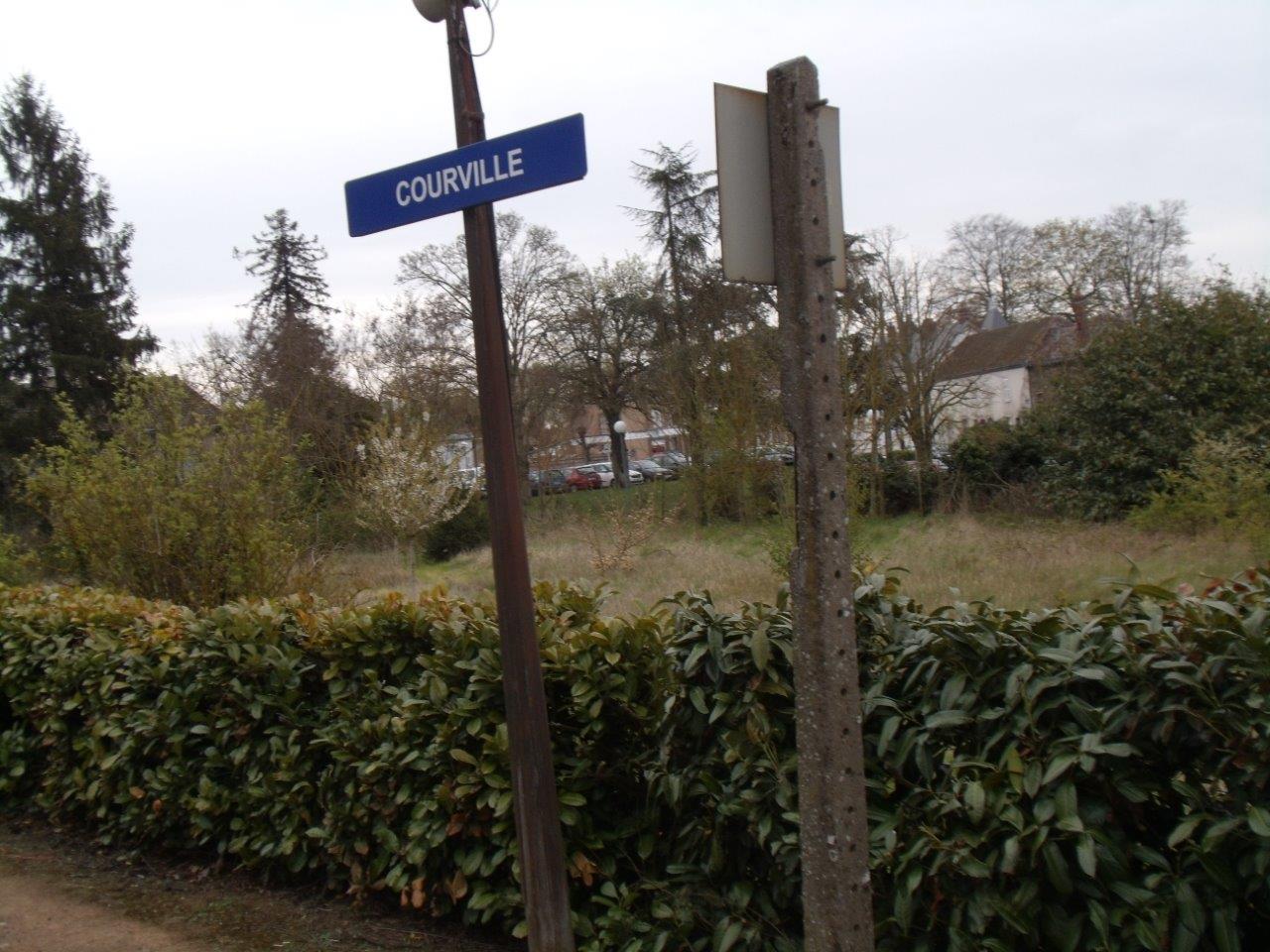
Get Directions: 0.00The train station Courville-sur-Eure is a French railway station on the line: Paris-Montparnasse Brest, located in the town of Courville-sur-Eure, in the department: Eure-et-Loir, in the region: Centre-Val de Loire. Its latitude and longitude geographic coordinates are 48° 27′ 05″ North, 1° 14′ 05″ East with an altitude of 174 m. It is on the train line Paris-Montparnasse Brest with 2 tracks and 2 side platforms. Read more...
-
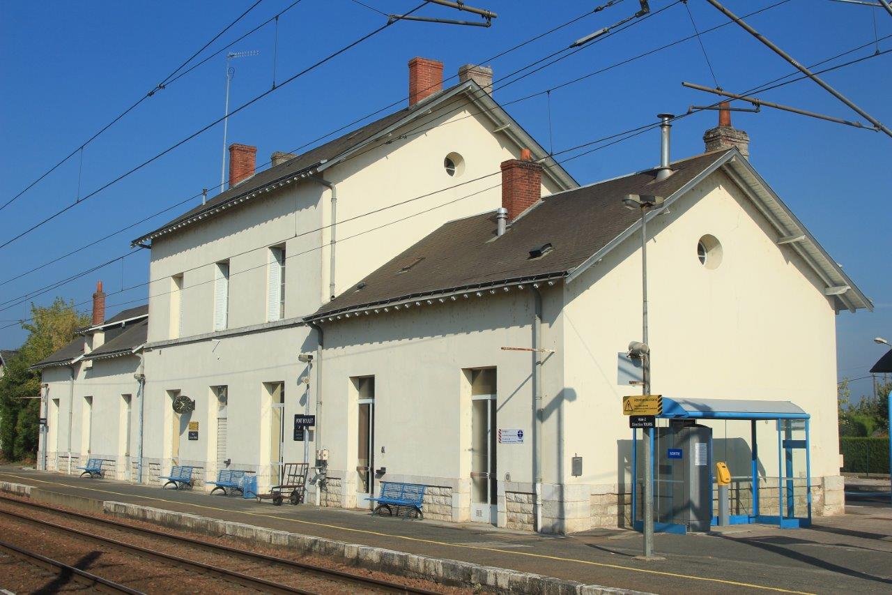
Get Directions: 0.00The train station Port-Boulet is a French railway station on the line: Tours Saint-Nazaire. It is located in the town of Chouzé-sur-Loire, in the department: Indre-et-Loire, in the region: Centre-Val de Loire. Its latitude and longitude geographic coordinates are 47° 14′ 55″ North, 0° 09′ 20″ East with an altitude of 32 m. It is on the train line Tours Saint-Nazaire and Port-Boulet Port-de-Piles with 3 Read more...
-
Get Directions: 0.00The train station Cinq-Mars-la-Pile is a French railway station on the line: Tours Saint-Nazaire, located in the town of Cinq-Mars-la-Pile, in the department: Indre-et-Loire, in the region: Centre-Val de Loire. Its latitude and longitude geographic coordinates are 47° 20′ 42″ North, 0° 27′ 38″ East with an altitude of 47 m. It is on the train line Tours Saint-Nazaire with 2 tracks and 2 platforms. Read more...
-
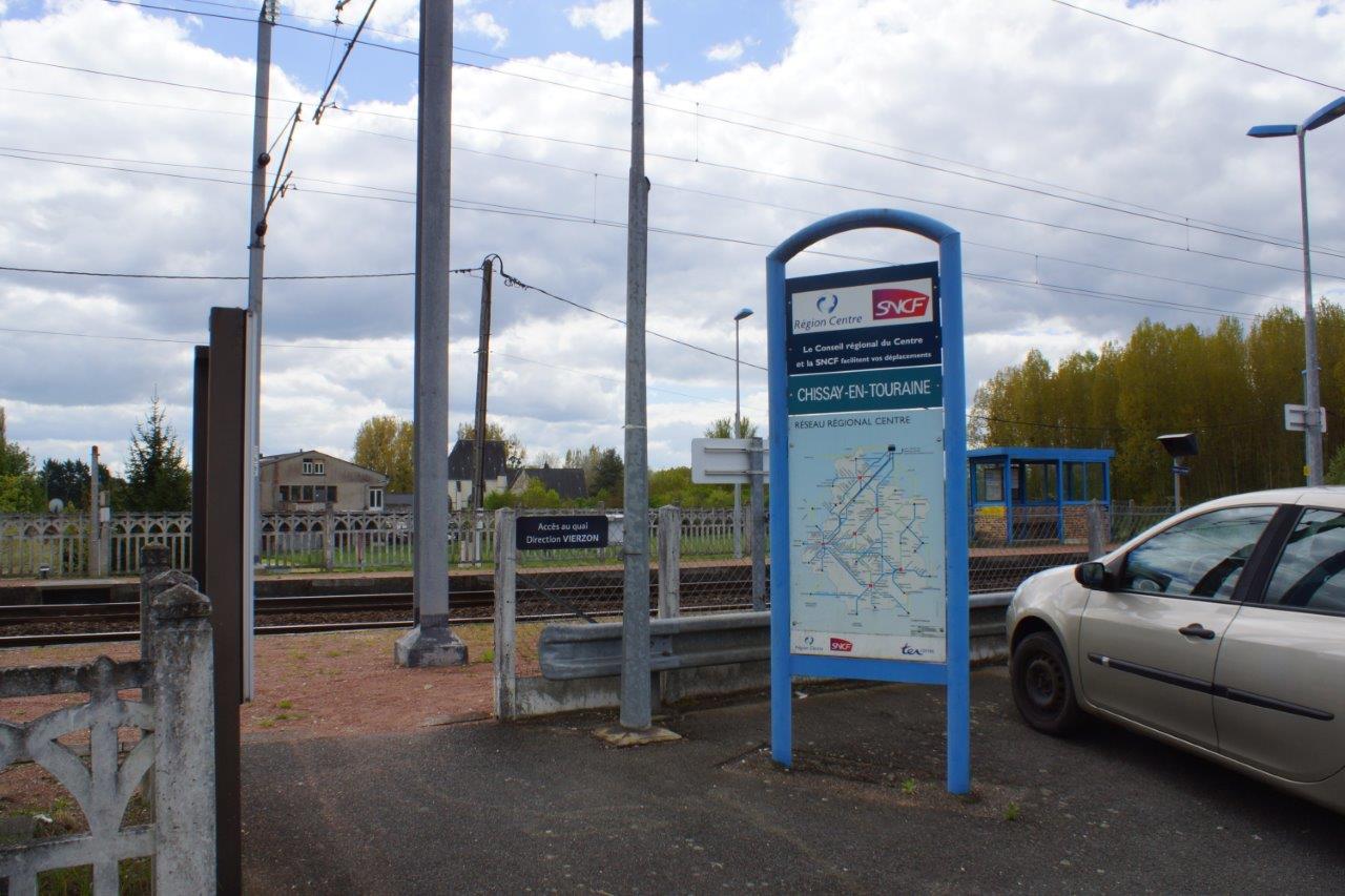
Get Directions: 0.00The train station Chissay-en-Touraine is a French railway station on the line: Vierzon Saint-Pierre-des-Corps, located in the town of Chissay-en-Touraine, in the department: Loir-et-Cher, in the region: Centre-Val de Loire. Its latitude and longitude geographic coordinates are 47° 20′ 05″ North, 1° 08′ 00″ East with an altitude of 64 m. It is on the train line Vierzon Saint-Pierre-des-Corps with 2 tracks and 2 platforms. Read more...
-
Get Directions: 0.00The train station Chinon is a French railway station on the line: Les Sables-d’Olonne Tours, located in the town of Chinon, in the department: Indre-et-Loire, in the region: Centre-Val de Loire. Its latitude and longitude geographic coordinates are 47° 09′ 51″ North, 0° 15′ 12″ East. It is on the train line Les Sables-d’Olonne Tours and Port-Boulet Port-de-Piles with 2 tracks and 2 platforms. Read more...
-
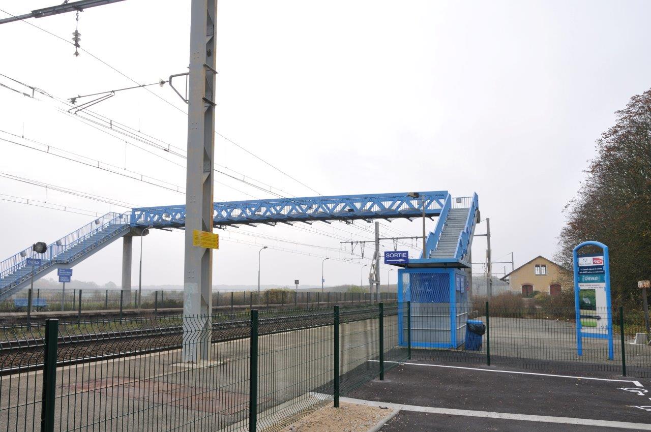
Get Directions: 0.00The train station Chevilly is a French station on the line Paris-Austerlitz Bordeaux-Saint-Jean, located in the town of Chevilly, in the department: Loiret, in the region: Centre. Its latitude and longitude geographic coordinates are 48° 01′ 36″ North, 1° 52′ 45″ East with an altitude of 123 m. It is on the train line Paris-Austerlitz Bordeaux-Saint-Jean with 3 tracks and 2 side platforms. Read more...
-
Get Directions: 0.00The train station Chenonceaux is a French railway station on the line: Vierzon Saint-Pierre-des-Corps, located in the town of Chenonceaux, in the department: Indre-et-Loire, in the region: Centre. Its latitude and longitude geographic coordinates are 47° 19′ 50″ North, 1° 03′ 58″ East with an altitude of 69 m. It is on the train line Vierzon Saint-Pierre-des-Corps with 2 tracks and 2 side platforms. Read more...
-
Get Directions: 0.00The train station Châteaudun is a French railway station located in the town of Châteaudun, in the department: Eure-et-Loir, in the region: Centre. Its latitude and longitude geographic coordinates are 48° 04′ 24″ North, 1° 20′ 18″ East with an altitude of 141 m. It is on the train line Brétigny La Membrolle-sur-Choisille and Courtalain – Saint-Pellerin Patay with 4 (plus sidings) tracks and 2 platforms. Read more...
-
Get Directions: 0.00The train station Châteauneuf-sur-Cher is a French railway station on the line: Bourges Miécaze, located in the town of Châteauneuf-sur-Cher, in the department: Cher, in the region: Centre. Its latitude and longitude geographic coordinates are 46° 51′ 24″ North, 2° 18′ 38″ East with an altitude of 148 m. It is on the train line Bourges Miécaze with 2 (plus sidings) tracks and 2 platforms. Read more...
-
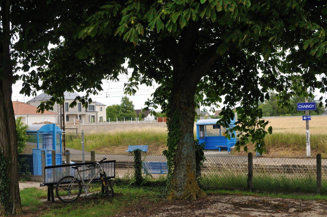
Get Directions: 0.00The train station Chaingy-Fourneaux-Plage is a French railway station on the line: Paris-Austerlitz Bordeaux-Saint-Jean, located in the town of Chaingy, in the department: Loiret, in the region: Centre.It is in zone: null with coordinates 47° 52′ 38″ North, 1° 46′ 57″ East and an altitude of 110 m. It is on the train line Paris-Austerlitz Bordeaux-Saint-Jean with 2 tracks and 2 platforms serving 10 628 passengers (2014) Read more...
-
Get Directions: 0.00The train station Celon is a French railway station on the lines Aubrais – Orléans Montauban-Ville-Bourbon, located in the town of Celon, in the department: Indre, in the region: Centre-Val de Loire.It is in zone: null with coordinates 46° 31′ 02″ North, 1° 30′ 12″ East and an altitude of 206 m. It is on the train line Les Aubrais – Orléans Montauban-Ville-Bourbon with 2 (plus Read more...
-
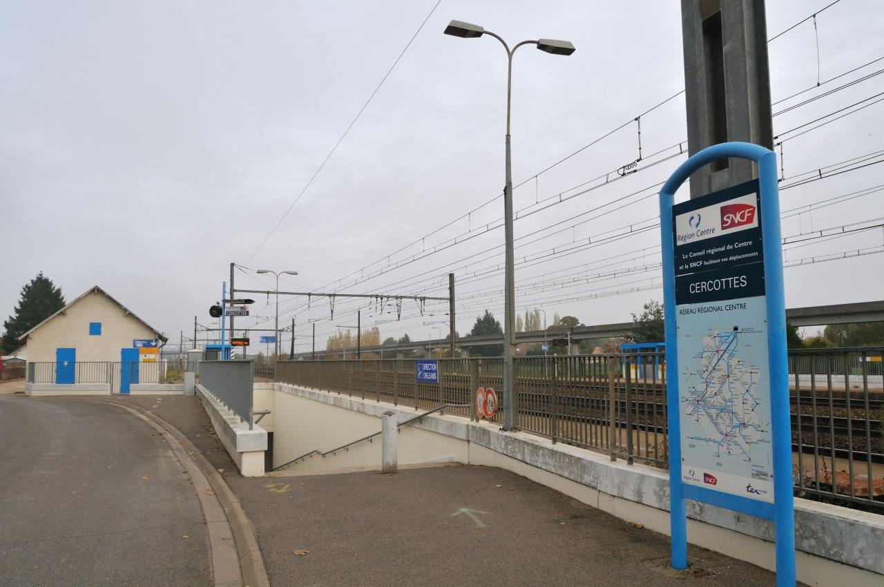
Get Directions: 0.00The train station Cercottes is a French station on the line Paris-Austerlitz Bordeaux-Saint-Jean, located in the town of Cercottes, in the department: Loiret, in the region: Centre.It is in zone: null with coordinates 47° 59′ 11″ North, 1° 53′ 04″ East and an altitude of 124 m. It is on the train line Paris-Austerlitz Bordeaux-Saint-Jean with 4 tracks and 2 side platforms. Read more...
-
Get Directions: 0.00The train station Marchezais – Broué is a French railway station on the line: Saint-Cyr Surdon, located in the town of Broué, near Marchezais, in the department: Eure-et-Loir, in the region: Centre-Val de Loire.It is in zone: Tarification Île-de-France non applicable with coordinates 48° 46′ 06″ North, 1° 30′ 49″ East and an altitude of 139 m. It is on the train line Saint-Cyr Surdon with Read more...
-
Get Directions: 0.00The train station Brou is a French railway station on the line: Chartres Bordeaux-Saint-Jean, located in the town of Brou, in the department: Eure-et-Loir, in the region: Centre-Val de Loire.It is in zone: null with coordinates 48° 12′ 57″ North, 1° 09′ 38″ East and an altitude of 153 m. It is on the train line Chartres Bordeaux-Saint-Jean and Brou La Loupe with 3 (plus sidings) Read more...

