Train stations, including popular destinations from each station, where to find secure online reservations and tickets, open hours, local transport, services, shops, faqs, and much more.
-
Get Directions: 0.00The train station Vitrolles-Aéroport-Marseille-Provence (VAMP) is a French railway station on the line: Paris-Lyon Marseille-Saint-Charles, located at a place called les Aymards, ZI de Couperigne, within the territory of the town of Vitrolles, in the department: Bouches-du-Rhône, in the region: Provence-Alpes-Côte d’Azur. It is in zone: de Couperigne. Its latitude and longitude geographic coordinates are 43° 26′ 36″ North, 5° 14′ 15″ East with an altitude Read more...
-
Get Directions: 0.00The train station Villeneuve-Loubet-plage is a French railway station on the line: Marseille-Saint-Charles Vintimille (border), located in the town of Villeneuve-Loubet, in the department: Alpes-Maritimes in the region: Provence-Alpes-Côte d’Azur. Its latitude and longitude geographic coordinates are 43° 37′ 47″ North, 7° 08′ 04″ East with an altitude of 6 m. It is on the train line Marseille-Saint-Charles – Vintimille with 2 tracks and 2 platforms. Read more...
-
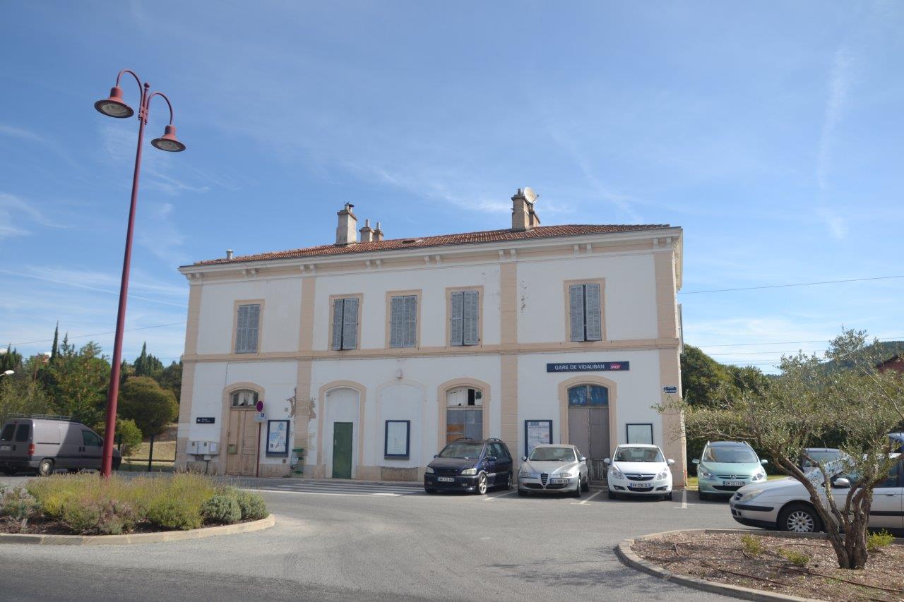
Get Directions: 0.00The train station Vidauban is a French railway station on the line: Marseille-Saint-Charles Vintimille, located in the town of Vidauban, in the department: Var in the region: Provence-Alpes-Côte d’Azur. Its latitude and longitude geographic coordinates are 43° 25′ 51″ North, 6° 26′ 02″ East with an altitude of 61 m. It is on the train line Marseille-St-Charles – Vintimille with 2 tracks and 2 platforms. Read more...
-
Get Directions: 0.00The train station Théoule-sur-Mer is a French railway station on the line: Marseille-Saint-Charles Vintimille (border), located in the town of Théoule-sur-Mer, in the department: Alpes-Maritimes in the region: Provence-Alpes-Côte d’Azur. Its latitude and longitude geographic coordinates are 43° 30′ 48″ North, 6° 56′ 13″ East with an altitude of 19 m. It is on the train line Marseille-Saint-Charles Vintimille (border) with 2 tracks and 2 platforms. Read more...
-
Get Directions: 0.00The train station Sorgues – Châteauneuf-du-Pape is a French railway station on the train lines: Paris-Lyon Marseille-Saint-Charles and Sorgues – Châteauneuf-du-Pape Carpentras, located in the town of Sorgues, near Châteauneuf-du-Pape, in the department: Vaucluse, in the region: Provence-Alpes-Côte d’Azur. Its latitude and longitude geographic coordinates are 44° 00′ 19″ North, 4° 52′ 33″ East with an altitude of 30 m. It is on the train line Read more...
-
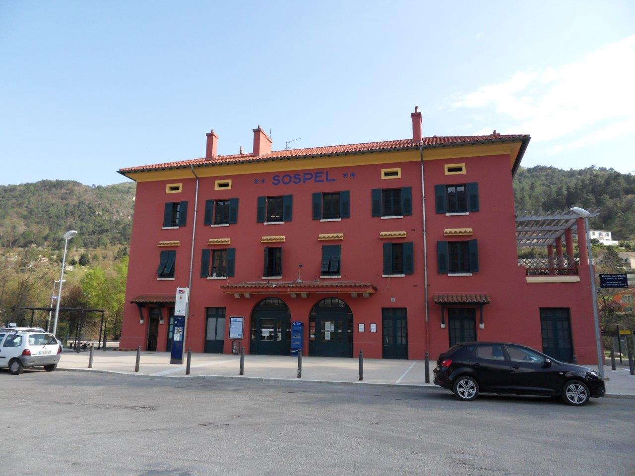
Get Directions: 0.00The train station Sospel is a French railway station on the line: Nice Breil-sur-Roya, located in the town of Sospel, in the department: Alpes-Maritimes in the region: Provence-Alpes-Côte d’Azur. Its latitude and longitude geographic coordinates are 43° 52′ 35″ North, 7° 27′ 14″ East with an altitude of 359 m. It is on the train line Nice Breil-sur-Roya with 2 (plus sidings) tracks and 2 platforms. Read more...
-
Get Directions: 0.00The train station Solliès-Pont is a French railway station on the line: Marseille-Saint-Charles Vintimille (border), located in the town of Solliès-Pont, in the department: Var in the region: Provence-Alpes-Côte d’Azur. Its latitude and longitude geographic coordinates are 43° 11′ 27″ North, 6° 02′ 47″ East with an altitude of 78 m. It is on the train line Marseille-Saint-Charles Vintimille (border) with 2 tracks and 2 platforms. Read more...
-
Get Directions: 0.00The train station Simiane is a French railway station located in the town of Simiane-Collongue in the Bouches-du-Rhône in the region: Provence-Alpes-Côte d’Azur. It is located to the North-West of the village, near the municipality of Bouc-Bel-Air, from which it is separted by a highway (route départementale 6). Its latitude and longitude geographic coordinates are 43° 26′ 05″ North, 5° 25′ 32″ East with an altitude Read more...
-
Get Directions: 0.00The train station Serres is a French railway station on the line: Lyon-Perrache Marseille-Saint-Charles (via Grenoble), located in the town of Serres in the department: Hautes-Alpes in the region: Provence-Alpes-Côte d’Azur (PACA). Its latitude and longitude geographic coordinates are 44° 25′ 29″ North, 5° 43′ 06″ East with an altitude of 671 m. It is on the train line Lyon-Perrache Marseille-Saint-Charles (via Grenoble) with 2 (plus Read more...
-
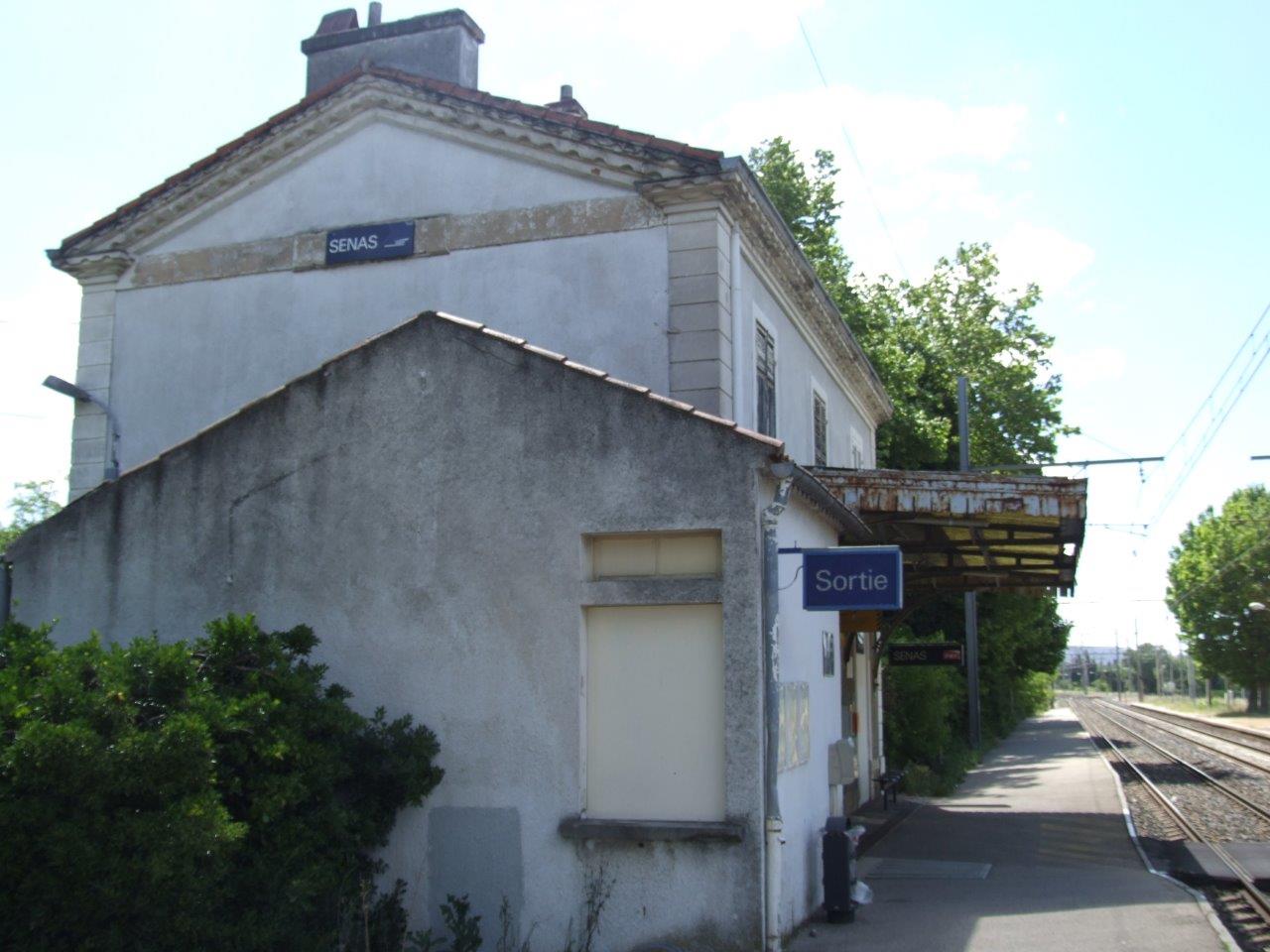
Get Directions: 0.00The train station Sénas is a French railway station on the line: Avignon Miramas, located in the town of Sénas in the department: Bouches-du-Rhône, in the region: Provence-Alpes-Côte d’Azur. Its latitude and longitude geographic coordinates are 43° 44′ 27″ North, 5° 04′ 24″ East with an altitude of 95 m. It is on the train line Avignon Miramas with 2 (plus sidings) tracks and 2 platforms. Read more...
-
Get Directions: 0.00The train station Septèmes is a French railway station on the line: Lyon-Perrache Marseille-Saint-Charles (via Grenoble), located in the town of Septèmes-les-Vallons, in the department: Bouches-du-Rhône, in the region: Provence-Alpes-Côte d’Azur (PACA). Its latitude and longitude geographic coordinates are 43° 24′ 11″ North, 5° 22′ 12″ East with an altitude of 209 m. It is on the train line Lyon-Perrache Marseille-Saint-Charles (via Grenoble) with 2 (plus Read more...
-
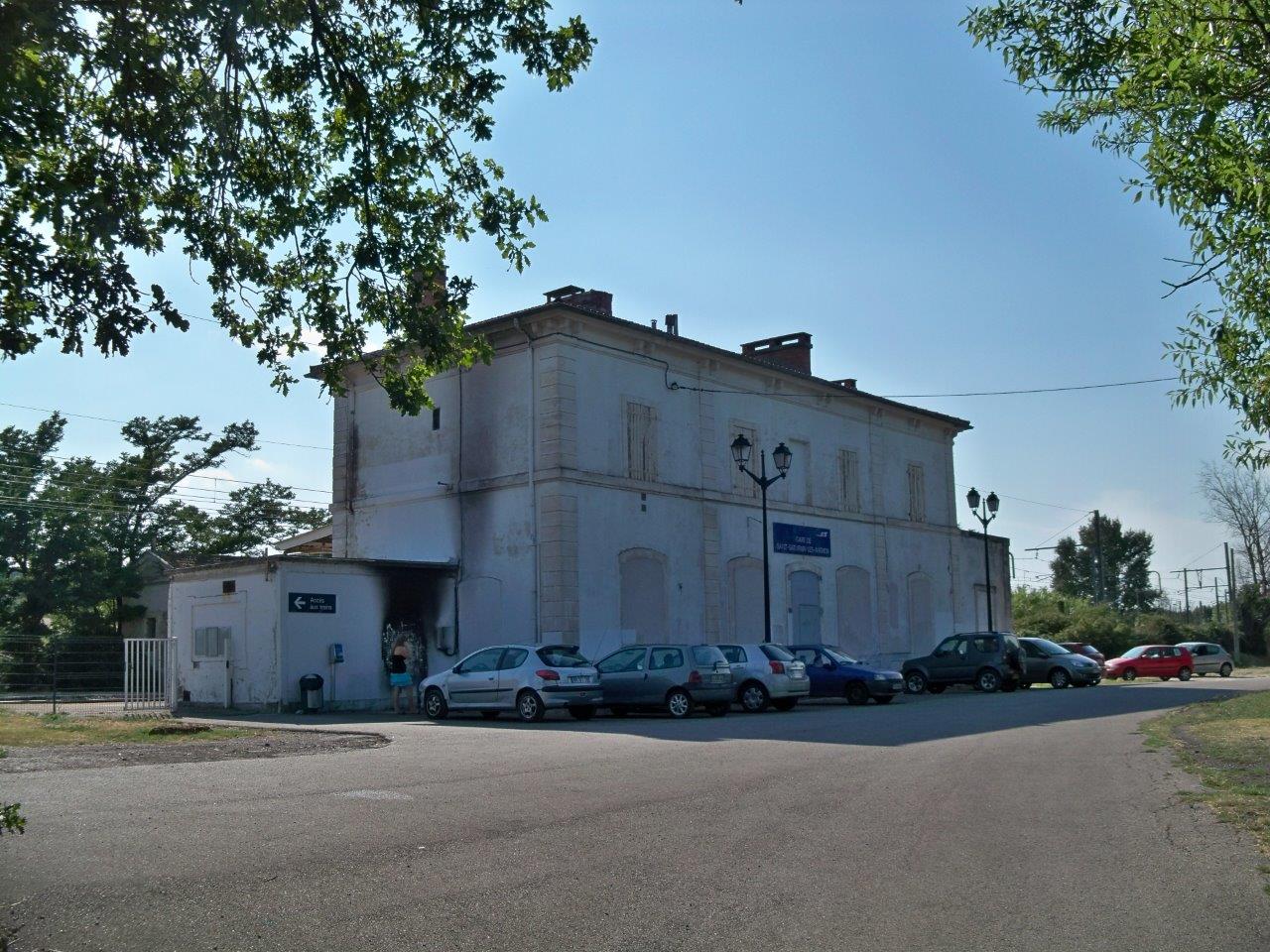
Get Directions: 0.00The train station Saint-Saturnin-d’Avignon is a French railway station on the line: Avignon Miramas, located in the town of Saint-Saturnin-lès-Avignon in the department: Vaucluse, in the region: Provence-Alpes-Côte d’Azur. Its latitude and longitude geographic coordinates are 43° 57′ 11″ North, 4° 56′ 07″ East with an altitude of 53 m. It is on the train line Avignon Miramas with 2 tracks and 2 platforms. Read more...
-
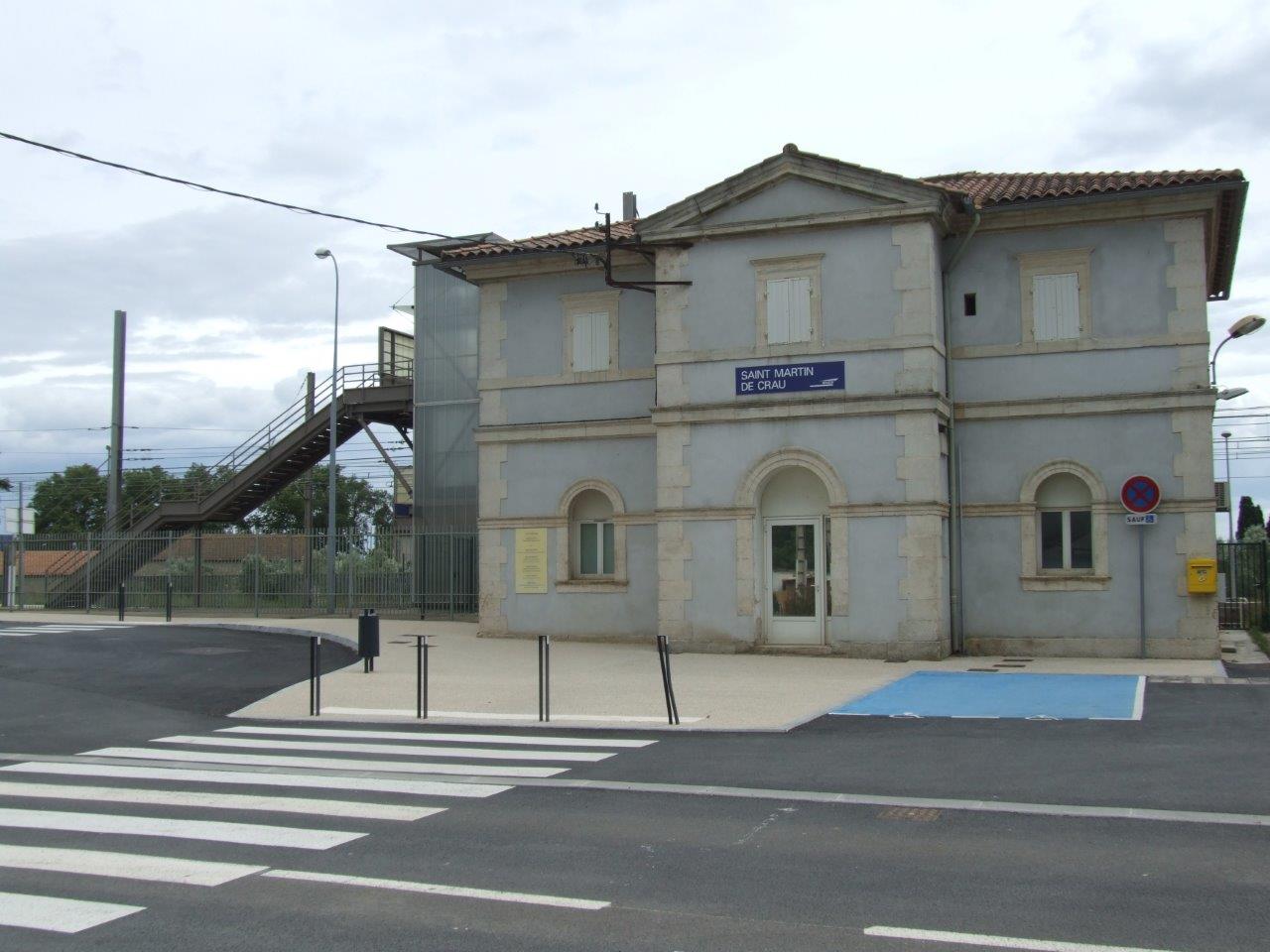
Get Directions: 0.00The train station Saint-Martin-de-Crau is a French railway station on the line: Paris-Lyon Marseille-Saint-Charles, located in the town of Saint-Martin-de-Crau, in the department: Bouches-du-Rhône in the region: Provence-Alpes-Côte d’Azur. Its latitude and longitude geographic coordinates are 43° 37′ 20″ North, 4° 48′ 01″ East with an altitude of 23 m. It is on the train line Paris-Lyon to Marseille-St-Charles with 2 (plus sidings) tracks and 2 Read more...
-
Get Directions: 0.00The train station Saint-Chamas is a French railway station de la Paris-Lyon – Marseille-St-Charles, located in the town of Saint-Chamas, in the department: Bouches-du-Rhône in the region: Provence-Alpes-Côte d’Azur. Its latitude and longitude geographic coordinates are 43° 33′ 04″ North, 5° 02′ 25″ East with an altitude of 36 m. It is on the train line Paris-Lyon – Marseille-St-Charles with 2 tracks and 2 platforms. Read more...
-
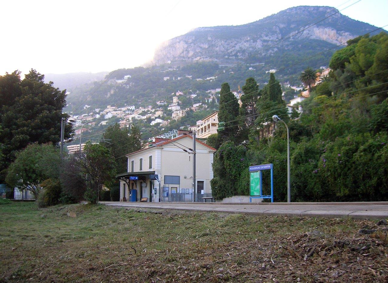
Get Directions: 0.00The train station Cap-Martin-Roquebrune is a French railway station on the line: Marseille-Saint-Charles Vintimille (border), located in the town of Roquebrune-Cap-Martin, in the department: Alpes-Maritimes, in the region: Provence-Alpes-Côte d’Azur. Its latitude and longitude geographic coordinates are 43° 45′ 38″ North, 7° 27′ 27″ East with an altitude of 28 m. It is on the train line Marseille-Saint-Charles Vintimille (border) with 2 tracks and 2 platforms. Read more...
-
Get Directions: 0.00The train station Rognac is a French railway station on the train lines: Paris-Lyon Marseille-Saint-Charles and Rognac Aix-en-Provence, located in the town of Rognac in the department: Bouches-du-Rhône, in the region: Provence-Alpes-Côte d’Azur. Its latitude and longitude geographic coordinates are 43° 29′ 12″ North, 5° 13′ 50″ East with an altitude of 24 m. It is on the train line Paris-Lyon Marseille-Saint-Charles and Rognac Aix-en-Provence with Read more...
-
Get Directions: 0.00The train station Puget-Ville is a French railway station on the line: Marseille-Saint-Charles Vintimille (border), located in the town of Puget-Ville, in the department: Var in the region: Provence-Alpes-Côte d’Azur. Its latitude and longitude geographic coordinates are 43° 16′ 59″ North, 6° 08′ 18″ East with an altitude of 168 m. It is on the train line Marseille-Saint-Charles Vintimille (border) with 2 tracks and 2 platforms. Read more...
-
Get Directions: 0.00The train station Pertuis is a French railway station on the train lines: Lyon-Perrache Marseille-Saint-Charles (via Grenoble) and Cheval-Blanc Pertuis, located in the town of Pertuis in the department: Vaucluse, in the region: Provence-Alpes-Côte d’Azur. Its latitude and longitude geographic coordinates are 43° 41′ 05″ North, 5° 30′ 13″ East with an altitude of 195 m. It is on the train line Lyon-Perrache Marseille-Saint-Charles (via Grenoble) Read more...
-
Get Directions: 0.00The train station Peille is a French railway station on the line: Nice Breil-sur-Roya, located in the town of Peille, in the department: Alpes-Maritimes in the region: Provence-Alpes-Côte d’Azur. Its latitude and longitude geographic coordinates are 43° 47′ 31″ North, 7° 22′ 48″ East with an altitude of 247 m. It is on the train line Nice Breil-sur-Roya with 1 track and 1 platform. Read more...
-
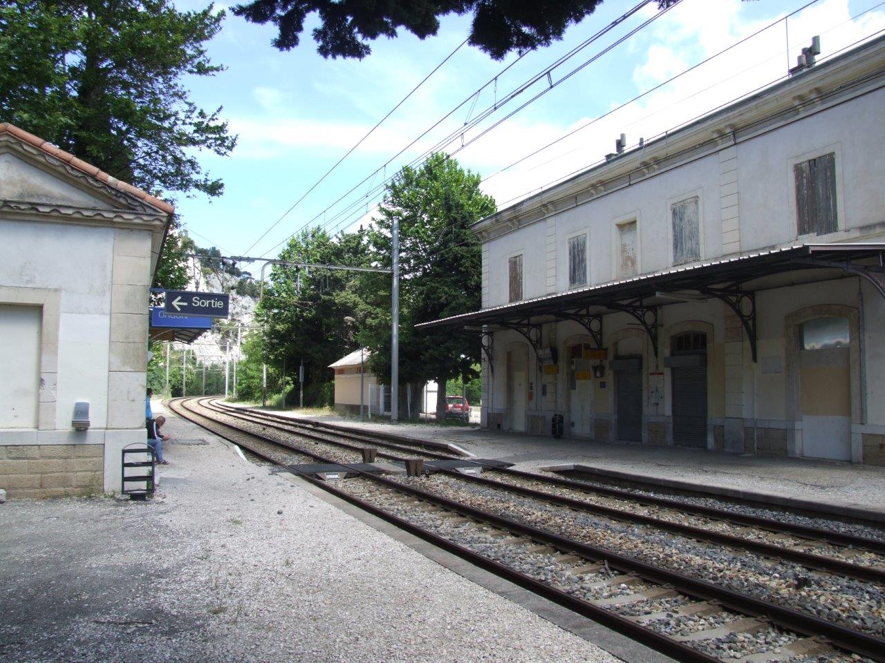
Get Directions: 0.00The train station Orgon is a French railway station on the lines Avignon Miramas and Tarascon Orgon, located in the town of Orgon, in the department: Bouches-du-Rhône, in the region: Provence-Alpes-Côte d’Azur. Its latitude and longitude geographic coordinates are 43° 47′ 09″ North, 5° 02′ 44″ East with an altitude of 85 m. It is on the train line Avignon Miramas and Tarascon Orgon with 2 Read more...
-
Get Directions: 0.00The train station Orange is a French railway station on the train lines: Paris-Lyon Marseille-Saint-Charles and Orange l’Isle – Fontaine-de-Vaucluse, located in the town of Orange, in the department: Vaucluse, in the region: Provence-Alpes-Côte d’Azur. Its latitude and longitude geographic coordinates are 44° 08′ 15″ North, 4° 49′ 11″ East with an altitude of 46 m. It is on the train line Paris-Lyon Marseille-Saint-Charles and Orange Read more...
-
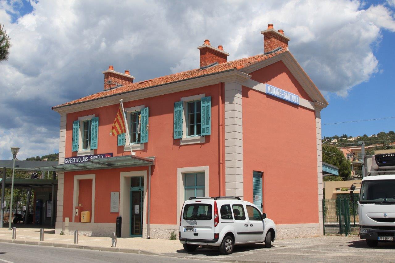
Get Directions: 0.00The train station Mouans-Sartoux is a French railway station on the line: Cannes-la-Bocca Grasse, located in the town of Mouans-Sartoux, in the department: Alpes-Maritimes in the region Provence-Alpes-Côte d’Azur. Its latitude and longitude geographic coordinates are 43° 37′ 13″ North, 6° 58′ 28″ East with an altitude of 125 m. It is on the train line Cannes-la-Bocca Grasse with 2 tracks and 2 platforms. Read more...
-
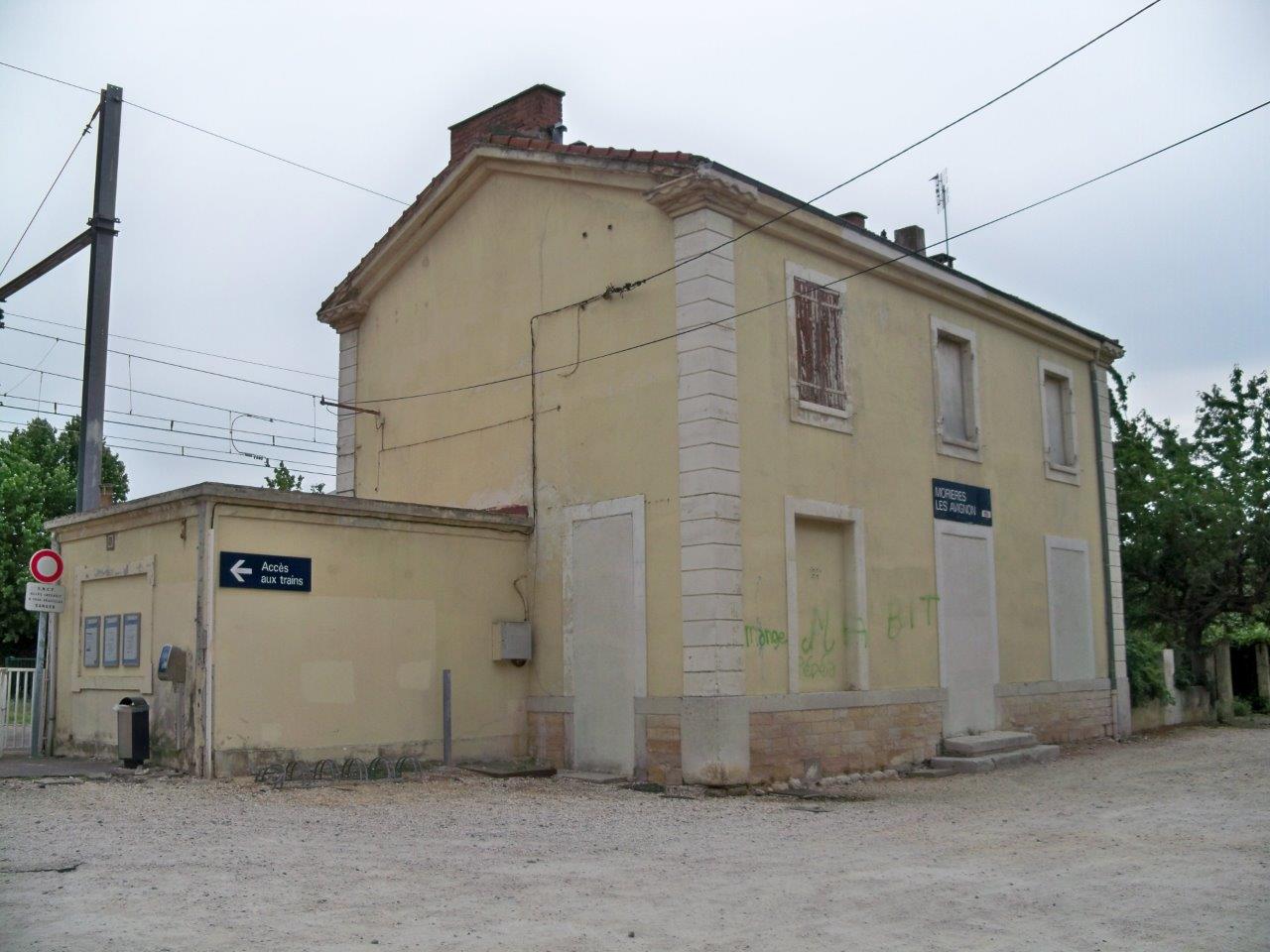
Get Directions: 0.00The train station Morières-lès-Avignon is a French railway station on the line: Avignon Miramas, located in the town of Morières-lès-Avignon in the department: Vaucluse, in the region: Provence-Alpes-Côte d’Azur. Its latitude and longitude geographic coordinates are 43° 56′ 29″ North, 4° 54′ 30″ East with an altitude of 41 m. It is on the train line Avignon Miramas with 2 tracks and 2 platforms. Read more...
-
Get Directions: 0.00The train station Monteux is a French railway station located in the town of Monteux in the department: Vaucluse, in the region: Provence-Alpes-Côte d’Azur. Its latitude and longitude geographic coordinates are 44° 02′ 15″ North, 4° 59′ 41″ East with an altitude of 44 m. It is on the train line Sorgues – Châteauneuf-du-Pape Carpentras with 2 tracks and 2 platforms. Read more...
-
Get Directions: 0.00The train station Meyrargues is a French railway station on the line: Lyon-Perrache Marseille-Saint-Charles (via Grenoble), located in the town of Meyrargues, to nord-est du département des Bouches-du-Rhône, in the region: Provence-Alpes-Côte d’Azur. Its latitude and longitude geographic coordinates are 43° 38′ 39″ North, 5° 32′ 22″ East with an altitude of 207 m. It is on the train line Lyon-Perrache Marseille-Saint-Charles (via Grenoble) with 2 Read more...
-
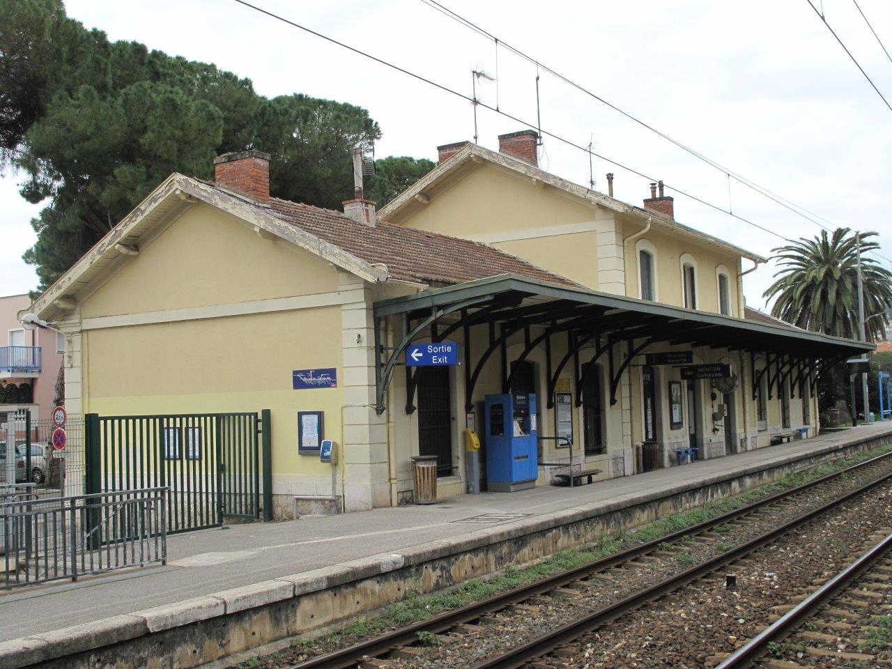
Get Directions: 0.00The train station Menton-Garavan is a French railway station on the line: Marseille-Saint-Charles Vintimille (border), located in the town of Menton, in the Garavan neighborhood, in the department: Alpes-Maritimes in the region: Provence-Alpes-Côte d’Azur. Its latitude and longitude geographic coordinates are 43° 47′ 07″ North, 7° 31′ 02″ East with an altitude of 17,4 m. It is on the train line Marseille-Saint-Charles Vintimille (border) with 2 Read more...
-
Get Directions: 0.00The train station Croix-Sainte is a French railway station located in the town of Martigues, in the department: Bouches-du-Rhône, in the region: Provence-Alpes-Côte d’Azur. Its latitude and longitude geographic coordinates are 43° 24′ 32″ North, 5° 01′ 11″ East with an altitude of 20 m. It is on the train line Miramas l’Estaque with 2 tracks and 2 platforms. Read more...
-
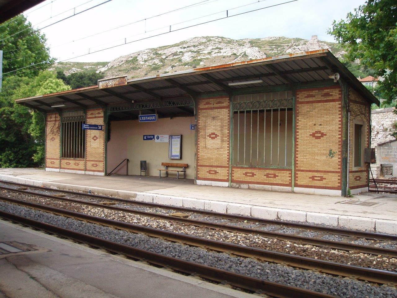
Get Directions: 0.00The train station L’Estaque is a French railway station on the line Paris-Lyon Marseille-Saint-Charles, located in the 16th arrondissement (district) at the extreme North-West of the city of Marseille, in the department: Bouches-du-Rhône in the region: Provence-Alpes-Côte d’Azur. It owes its names to the Marseille neighborhood it serves, made famous by Paul Cézanne and his friends, artists from the years 1880 Read more...
-
Get Directions: 0.00The train station Saint-Marcel is a French railway station on the line: Marseille-Saint-Charles Vintimille (border), located in the 11e arrondissement de Marseille, to bord de l’Huveaune, entre le village de Saint-Marcel to sud et le Petit Saint-Marcel to nord, in the department: Bouches-du-Rhône, in the region: Provence-Alpes-Côte d’Azur. Its latitude and longitude geographic coordinates are 43° 17′ 17″ North, 5° 28′ 02″ East with an altitude Read more...
-
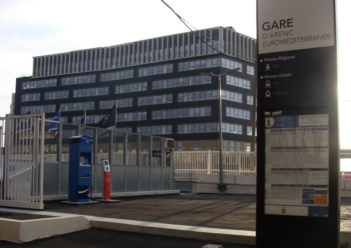
Get Directions: 0.00The train station Arenc-Euroméditerranée (sometimes called Marseille-Euroméditerranée lors du projet de création de ce point d’arrêt), is a French railway station on the line: L’Estaque Marseille-Saint-Charles, located in the 2e arrondissement de Marseille, in the department: Bouches-du-Rhône, in the region: Provence-Alpes-Côte d’Azur. Its latitude and longitude geographic coordinates are 43° 18′ 48″ North, 5° 22′ 03″ East with an altitude of 3 m. It is on the Read more...

