-
Get Directions: 0.00The train station Lus-la-Croix-Haute is a French railway station on the line: Lyon-Perrache Marseille-Saint-Charles (via Grenoble), located in the town of Lus-la-Croix-Haute, in the department: Drôme in the region Auvergne-Rhône-Alpes. It is a departure point for numerous pedestrian and cycling hikes to discover the Dauphiné. Its latitude and longitude geographic coordinates are 44° 40′ 10″ North, 5° 41′ 49″ East with an altitude of 1014 m. Read more...
-
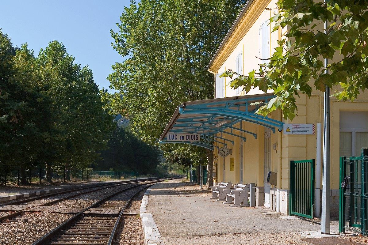
Get Directions: 0.00The train station Luc-en-Diois is a French railway station on the line: Livron Aspres-sur-Buëch, located in the town of Luc-en-Diois, in the department: Drôme, in the region: Auvergne-Rhône-Alpes. Its latitude and longitude geographic coordinates are 44° 36′ 49″ North, 5° 27′ 17″ East with an altitude of 581 m. It is on the train line Livron Aspres-sur-Buëch with 2 (plus sidings) tracks and 2 platforms. Read more...
-
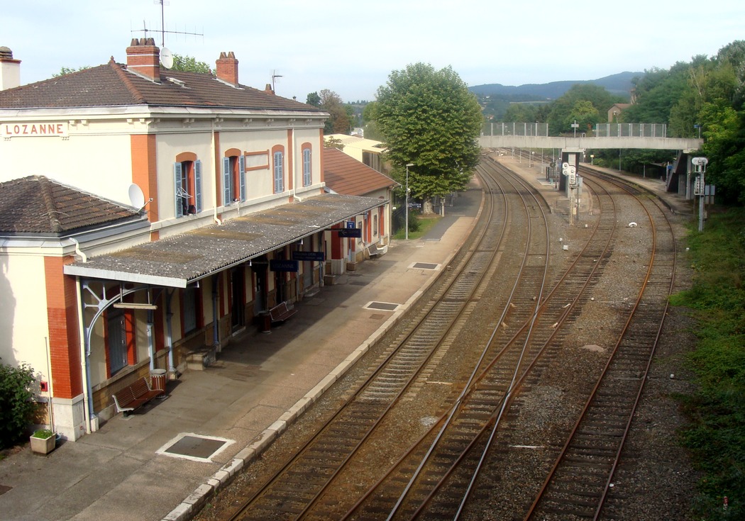
Get Directions: 0.00The train station Lozanne is a French railway station, located at the junction of the railway axis Lyon – Saint-Germain-des-Fossés via Roanne and two secondary lines linking Lozanne Paray-le-Monial to Lyon-Saint-Paul via Tassin. Its latitude and longitude geographic coordinates are 45° 51′ 15″ North, 4° 40′ 58″ East. It is on the train line Paray-le-Monial – Givors-canal and Le Coteau – Saint-Germain-au-Mont-d’Or with 4 tracks and Read more...
-
Get Directions: 0.00The train station Louroux-de-Bouble is a French railway station on the line: Commentry Gannat, located in the town of Louroux-de-Bouble in the department: Allier in the region Auvergne-Rhône-Alpes. Its latitude and longitude geographic coordinates are 46° 13′ 27″ North, 2° 59′ 06″ East with an altitude of 500 m. It is on the train line Commentry Gannat with 2 (plus sidings) tracks and 2 platforms. Read more...
-
Get Directions: 0.00The train station Loriol is a French railway station on the line: Paris-Lyon Marseille-Saint-Charles, located in the town of Loriol-sur-Drôme in the department: Drôme, in the region: Auvergne-Rhône-Alpes. Its latitude and longitude geographic coordinates are 44° 45′ 16″ North, 4° 49′ 02″ East with an altitude of 109 m. It is on the train line Paris-Lyon Marseille-Saint-Charles with 2 tracks and 2 platforms. Read more...
-
Get Directions: 0.00The train station Livron is a French railway station on the train lines: Paris-Lyon Marseille-Saint-Charles, de Livron Aspres-sur-Buëch and Livron La Voulte, located in the town of Livron-sur-Drôme, in the department: Drôme, in the region: Auvergne-Rhône-Alpes. Its latitude and longitude geographic coordinates are 44° 46′ 47″ North, 4° 49′ 50″ East with an altitude of 109 m. It is on the train line Paris-Lyon Marseille-St-Charles, Livron Read more...
-
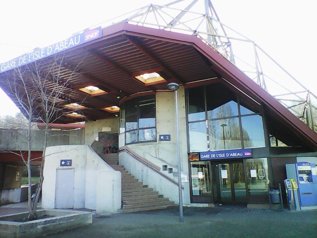
Get Directions: 0.00The train station L’Isle-d’Abeau is a French railway station on the line: Lyon-Perrache Marseille-Saint-Charles (via Grenoble), located in the town of L’Isle-d’Abeau in the department: Isère in the region: Auvergne-Rhône-Alpes. Its latitude and longitude geographic coordinates are 45° 36′ 27″ North, 5° 13′ 10″ East with an altitude of 227 m. It is on the train line Lyon-Perrache Marseille-Saint-Charles (via Grenoble) with 2 tracks and 2 Read more...
-
Get Directions: 0.00The train stations Houches is a French railway station on the line: Saint-Gervais-les-Bains-Le Fayet Vallorcine (border), located in the town of Les Houches, in the department: Haute-Savoie, in the region: Rhône-Alpes. Its latitude and longitude geographic coordinates are 45° 53′ 37″ North, 6° 47′ 49″ East with an altitude of 950 m. It is on the train line Saint-Gervais-les-Bains-Le Fayet Vallorcine (border) with 2 (plus sidings) Read more...
-
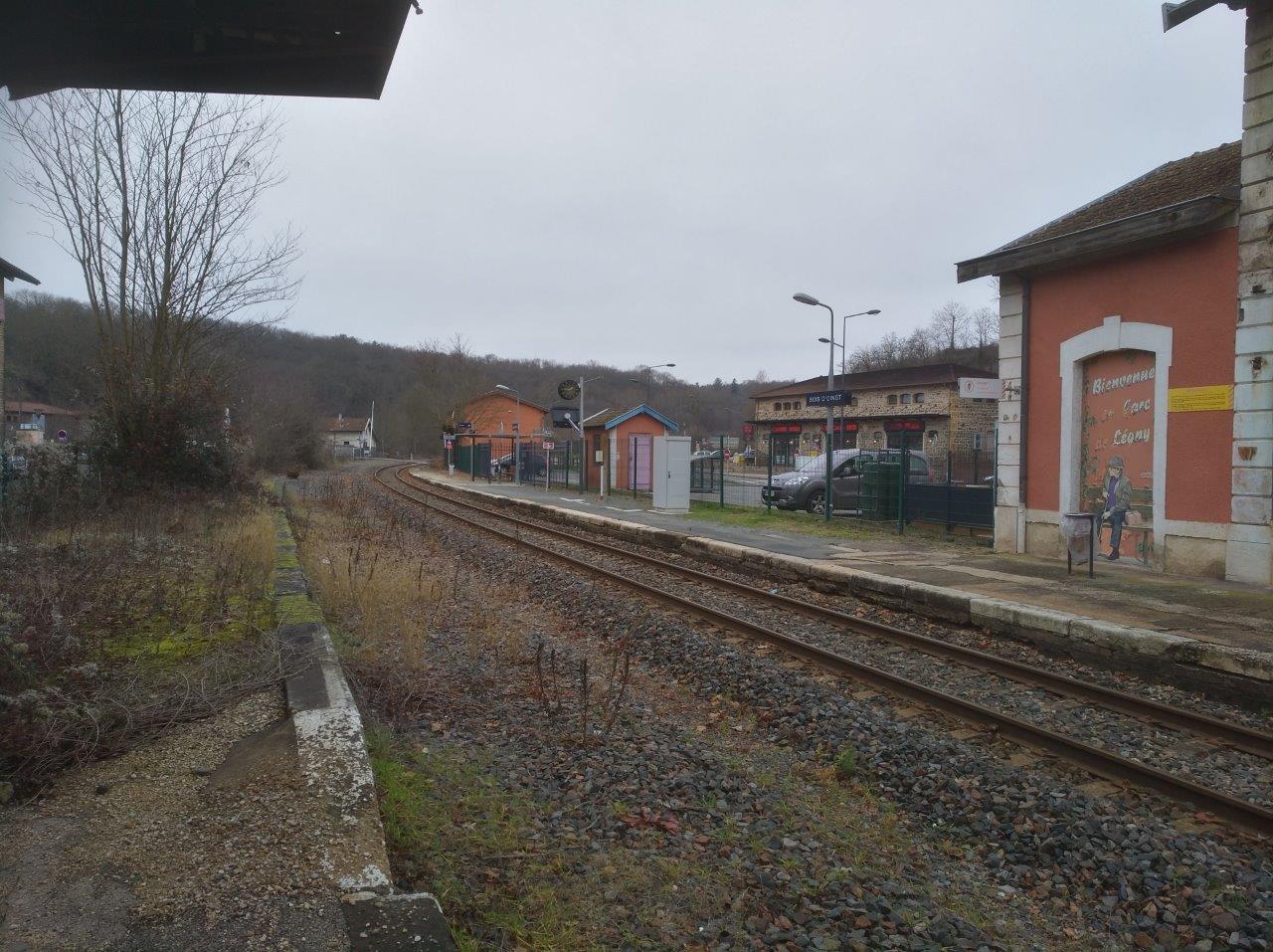
Get Directions: 0.00The train station Bois-d’Oingt – Légny is a French railway station located in the town of Légny near Bois-d’Oingt in the department: Rhône in the region Rhône-Alpes. Its latitude and longitude geographic coordinates are 45° 54′ 24″ North, 4° 34′ 31″ East with an altitude of 246 m. It is on the train line Paray-le-Monial Givors-canal with 1 track and 1 platform. Read more...
-
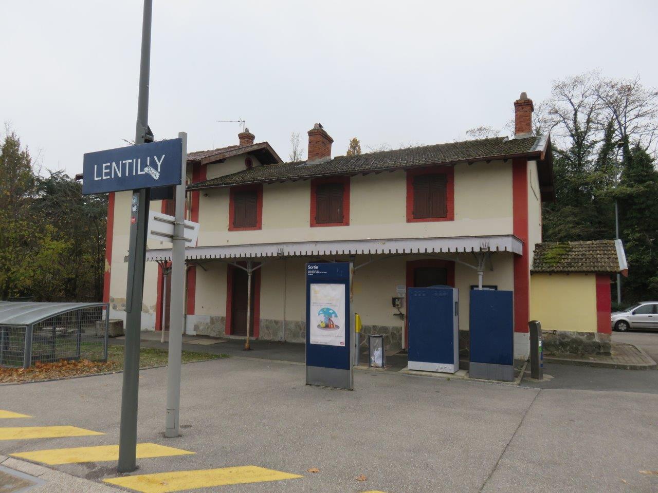
Get Directions: 0.00The train station Lentilly is a French railway station located in the town of Lentilly in the department: Rhône in the region Rhône-Alpes. Its latitude and longitude geographic coordinates are 45° 49′ 18″ North, 4° 40′ 02″ East. It is on the train line Lyon-Saint-Paul Montbrison with 2 tracks and 2 platforms. Read more...
-
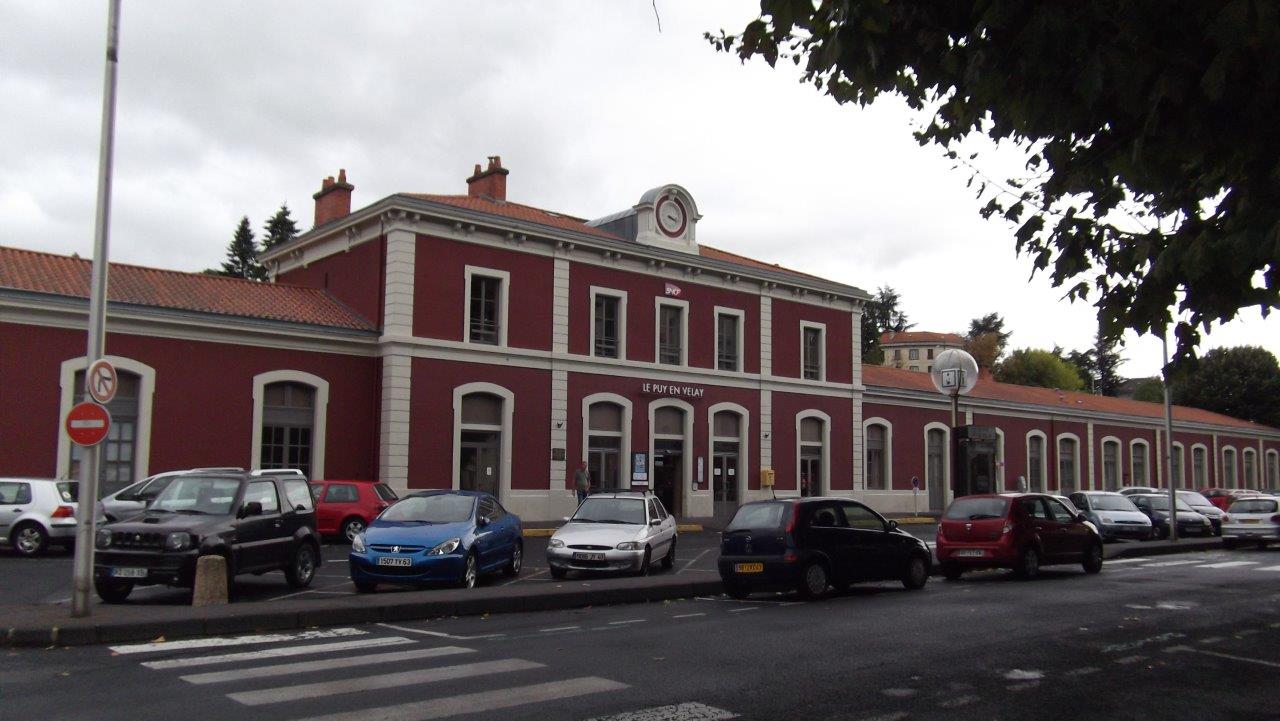
Get Directions: 0.00The train station Le Puy-en-Velay is a French railway station on the line: Saint-Georges-d’Aurac Saint-Étienne-Châteaucreux, located in the town of Le Puy-en-Velay, in the department: Haute-Loire in the region: Auvergne. Downtown is 200 meters away. Its latitude and longitude geographic coordinates are 45° 02′ 34″ North, 3° 53′ 33″ East with an altitude of 629 m. It is on the train line St-Georges-d’Aurac St-Étienne-Châteaucreux and Le Read more...
-
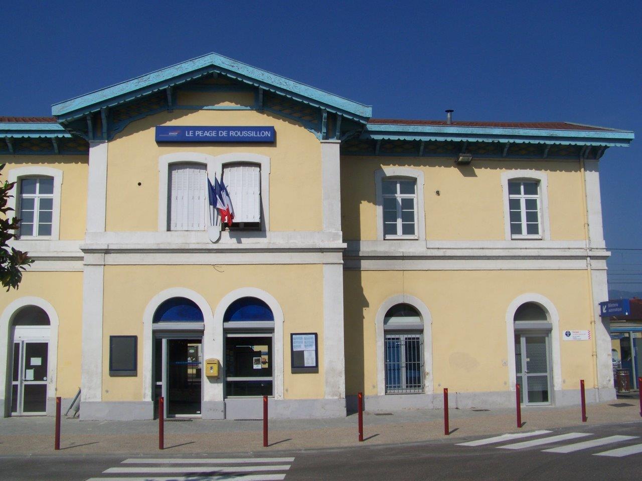
Get Directions: 0.00The train station Le Péage-de-Roussillon is a French railway station on the line: Paris-Lyon Marseille-Saint-Charles, located in the town of Le Péage-de-Roussillon, in the department: Isère in the region: Rhône-Alpes. Its latitude and longitude geographic coordinates are 45° 22′ 18″ North, 4° 47′ 44″ East with an altitude of 159 m. It is on the train line Paris-Lyon Marseille-Saint-Charles with 2 tracks and 2 platforms. Read more...
-
Get Directions: 0.00The train station Le Grand-Lemps is a French railway station is a French railway station on the line: Lyon-Perrache Marseille-Saint-Charles (via Grenoble) located in the town of Le Grand-Lemps, in the department: Isère, in the region: Auvergne-Rhône-Alpes. Its latitude and longitude geographic coordinates are 45° 23′ 48″ North, 5° 25′ 23″ East with an altitude of 476 m. It is on the train line Lyon-Perrache Marseille-Saint-Charles Read more...
-
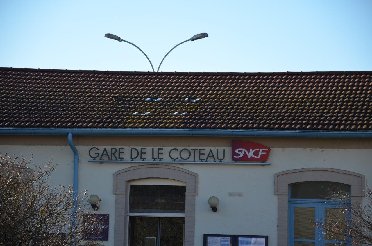
Get Directions: 0.00The train station Le Coteau is a French railway station on the lines: Moret – Veneux-les-Sablons Lyon-Perrache, Coteau Saint-Germain-au-Mont-d’Or and Coteau Montchanin, located in the town of Le Coteau in the department: Loire in the region: Auvergne-Rhône-Alpes. Its latitude and longitude geographic coordinates are 46° 01′ 26″ North, 4° 05′ 10″ East with an altitude of 279 m. It is on the train line Moret – Read more...
-
Get Directions: 0.00The train station Le Chambon-Feugerolles is a French railway station on the line: Saint-Georges-d’Aurac Saint-Étienne-Châteaucreux, located in the town of Le Chambon-Feugerolles, in the department: Loire in the region: Rhône-Alpes. Its latitude and longitude geographic coordinates are 45° 23′ 41″ North, 4° 19′ 21″ East with an altitude of 501 m. It is on the train line Saint-Georges-d’Aurac Saint-Étienne-Châteaucreux with 2 tracks and 2 platforms. Read more...
-
Get Directions: 0.00The train station Le Lioran is a French railway station on the line: Figeac Arvant, located in the town of Laveissière, in the department: Cantal in the region: Auvergne-Rhône-Alpes. Elle dessert notamment la station de ski de Super Lioran. Its latitude and longitude geographic coordinates are 45° 05′ 26″ North, 2° 45′ 12″ East with an altitude of 1152 m. It is on the train line Read more...
-
Get Directions: 0.00The train station Lavoûte-sur-Loire is a French railway station on the line: Saint-Georges-d’Aurac Saint-Étienne-Châteaucreux, located in the town of Lavoûte-sur-Loire, in the department: Haute-Loire in the region: Auvergne. Downtown is 600 meters away. Its latitude and longitude geographic coordinates are 45° 07′ 17″ North, 3° 54′ 19″ East with an altitude of 558 m. It is on the train line St-Georges-d’Aurac St-Étienne-Châteaucreux with 1 track and Read more...
-
Get Directions: 0.00The train station Laroquebrou is a French railway station on the line Souillac Viescamp-sous-Jallès, located in the town of Laroquebrou, in the department: Cantal in the region: Auvergne-Rhône-Alpes. Its latitude and longitude geographic coordinates are 44° 57′ 51″ North, 2° 11′ 34″ East with an altitude of 454 m. It is on the train line Souillac Viescamp-sous-Jallès with 2 (plus sidings) tracks and 2 platforms. Read more...
-
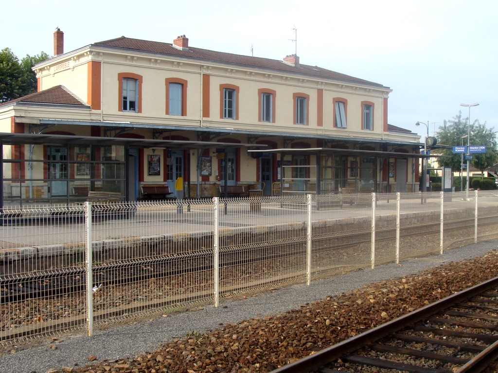
Get Directions: 0.00The train station L’Arbresle is a French railway station, it is located at the junction of the line Coteau St-Germain-au-Mont-d’Or and the line Lyon-St-Paul Montbrison. A particularity of this junction is that the two lines are only in contact in the station L’Arbresle, and don’t cross, the line Roanne begin on both sides of the station towards the North on Read more...
-
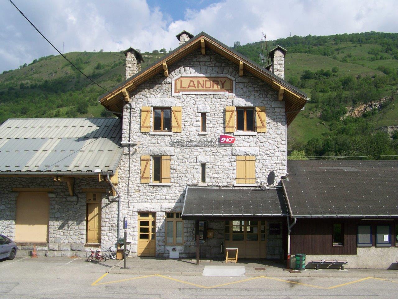
Get Directions: 0.00The train station Landry is a French railway station on the line: Saint-Pierre-d’Albigny Bourg-Saint-Maurice, located in the town of Landry in the department: Savoie, in the region: Auvergne-Rhône-Alpes. Elle desserte notamment les stations de skii de Peisey-Vallandry et Montchavin-les Coches. Its latitude and longitude geographic coordinates are 45° 34′ 30″ North, 6° 44′ 08″ East with an altitude of 743 m. It is on the train Read more...
-
Get Directions: 0.00The train station Langeac is a French railway station on the line: Saint-Germain-des-Fossés Nîmes-Courbessac (also called the ligne des Cévennes). It is located 200 meters from downtown Langeac, in the department: Haute-Loire in the region: Auvergne. Its latitude and longitude geographic coordinates are 45° 06′ 04″ North, 3° 29′ 26″ East with an altitude of 515 m. It is on the train line Saint-Germain-des-Fossés Nîmes-Courbessac with Read more...
-
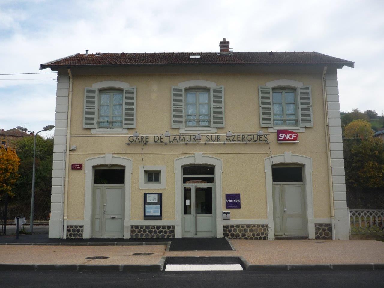
Get Directions: 0.00The train station la Lamure-sur-Azergues is a French railway station located in the town of Lamure-sur-Azergues, in the department: Rhône in the region: Rhône-Alpes. Its latitude and longitude geographic coordinates are 46° 03′ 40″ North, 4° 29′ 32″ East with an altitude of 388 m. It is on the train line Paray-le-Monial Givors-canal with 2 (plus sidings) tracks and 2 side platforms. Read more...
-
Get Directions: 0.00The train station Lacapelle-Viescamp is a French railway station on the line: Figeac Arvant, located in the town of Lacapelle-Viescamp, in the department: Cantal in the region: Auvergne. Its latitude and longitude geographic coordinates are 44° 55′ 13″ North, 2° 15′ 56″ East with an altitude of 552 m. It is on the train line Figeac Arvant with 1 track and 1 platform. Read more...
-
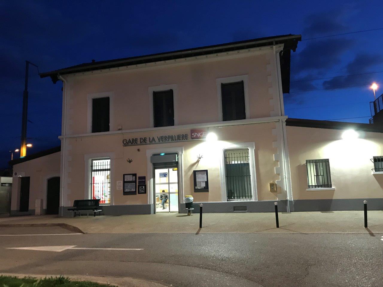
Get Directions: 0.00The train station La Verpillière is a French railway station on the line Lyon-Perrache Marseille-Saint-Charles (via Grenoble), located in the town of La Verpillière in the department: Isère in the region: Auvergne-Rhône-Alpes. Its latitude and longitude geographic coordinates are 45° 37′ 39″ North, 5° 09′ 03″ East with an altitude of 232 m. It is on the train line Lyon-Perrache Marseille-Saint-Charles (via Grenoble) with 2 tracks Read more...
-
Get Directions: 0.00The train station La Tour-de-Salvagny is a French railway station located in the town La Tour-de-Salvagny in the city of Lyon in the region Rhône-Alpes. Its latitude and longitude geographic coordinates are 45° 48′ 00″ North, 4° 42′ 58″ East. It is on the train line Lyon-Saint-Paul Montbrison with 2 tracks and 2 platforms. Read more...
-
Get Directions: 0.00The train station La Ricamarie is a French railway station on the line: Saint-Georges-d’Aurac Saint-Étienne-Châteaucreux, located near downtown La Ricamarie, in the department: Loire in the region: Rhône-Alpes. Its latitude and longitude geographic coordinates are 45° 24′ 12″ North, 4° 21′ 29″ East with an altitude of 541 m. It is on the train line Saint-Georges-d’Aurac – Saint-Étienne-Châteaucreux with 2 tracks and 2 platforms. Read more...
-
Get Directions: 0.00The train station Urçay is a French railway station on the line: Bourges Miécaze, located in the town of La Perche, in the department: Cher, in the region: Centre-Val de Loire. Nonetheless, the station is located very close to the town-center of the municipality of Urçay, from which it is only separated by the river Cher, in the department: Allier Read more...
-
Get Directions: 0.00The train station Notre-Dame-de-Briançon is a French railway station on the line: Saint-Pierre-d’Albigny Bourg-Saint-Maurice (also called the ligne de la Tarentaise), located in the town of La Léchère, Notre-Dame-de-Briançon neighborhood, in the department: Savoie, in the region: Rhône-Alpes. Its latitude and longitude geographic coordinates are 45° 32′ 22″ North, 6° 28′ 07″ East with an altitude of 425 m. It is on the train line Saint-Pierre-d’Albigny Read more...
-
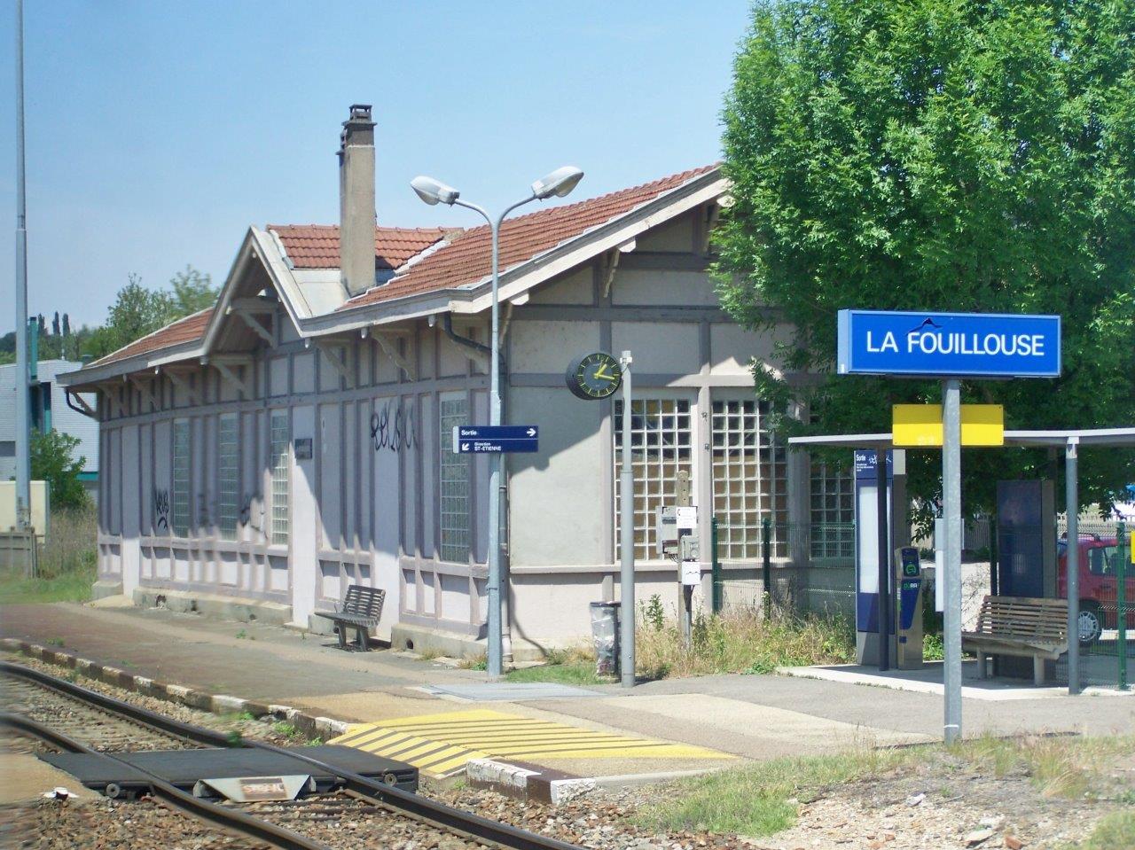
Get Directions: 0.00The train station La Fouillouse is a French railway station on the line: Moret – Veneux-les-Sablons Lyon-Perrache, located in the town of La Fouillouse, in the department: Loire in the region: Rhône-Alpes. Its latitude and longitude geographic coordinates are 45° 29′ 53″ North, 4° 19′ 01″ East with an altitude of 407 m. It is on the train line Moret – Veneux-les-Sablons Lyon-Perrache with 2 (plus Read more...
-
Get Directions: 0.00The train station la Chaise-Dieu is a French railway station on the line: Saint-Germain-des-Fossés Darsac, located in the town of La Chaise-Dieu, in the department: Haute-Loire, in the region: Auvergne-Rhône-Alpes. Its latitude and longitude geographic coordinates are 45° 18′ 59″ North, 3° 41′ 49″ East with an altitude of 1082 m. It is on the train line Saint-Germain-des-Fossés Darsac with 1 (formerly 2) tracks and 1 Read more...

