-
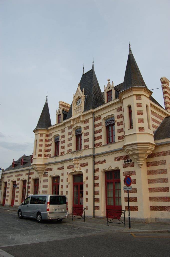
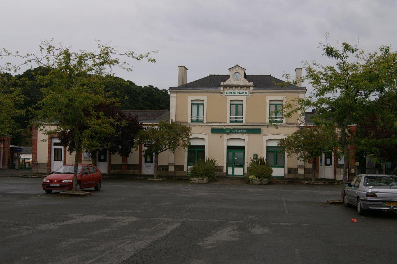
Get Directions: 0.00The train station Vitré is a French railway station on the line: Paris-Montparnasse Brest, located in the town of Vitré, in the department: Ille-et-Vilaine, in the region: Bretagne. Il s’agit de la seule gare bretonne, avec celle de Dinan, être inscrite l’inventaire des monuments historiques. Its latitude and longitude geographic coordinates are 48° 07′ 21″ North, 1° 12′ 42″ East with an altitude of 90 m. Read more...
-
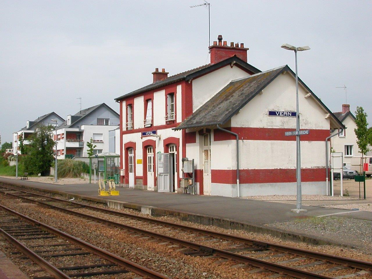
Get Directions: 0.00The train station Vern (also called the Vern-sur-Seiche) is a French railway station on the line: Châteaubriant Rennes, located in the town of Vern-sur-Seiche, in the department: Ille-et-Vilaine in the region: Bretagne. It is in zone: Unipass zone 1. Its latitude and longitude geographic coordinates are 48° 02′ 49″ North, 1° 35′ 47″ East with an altitude of 55 m. It is on the train line Read more...
-
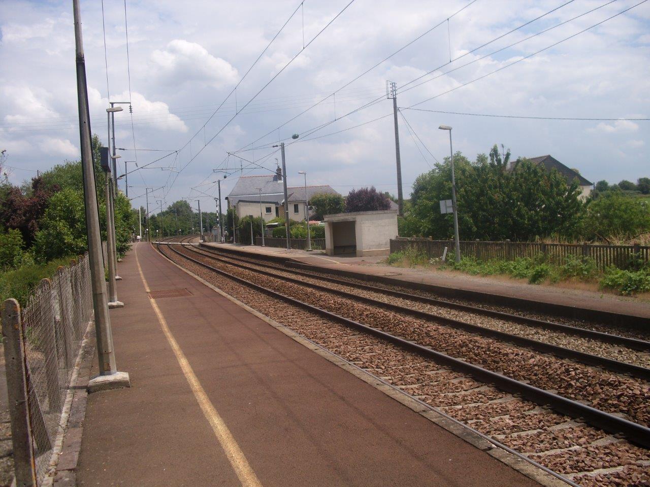
Get Directions: 0.00The train station Servon is a French railway station on the line: Paris-Montparnasse Brest, located in the town of Servon-sur-Vilaine, in the department: Ille-et-Vilaine in the region: Bretagne. Its latitude and longitude geographic coordinates are 48° 06′ 44″ North, 1° 27′ 58″ East with an altitude of 49 m. It is on the train line Paris-Montparnasse – Brest with 2 tracks and 2 platforms. Read more...
-
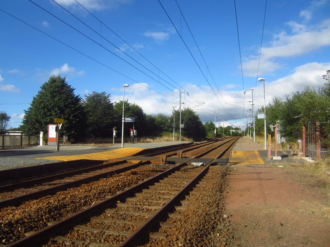
Get Directions: 0.00The train station Saint-Thégonnec is a French railway station on the line: Paris-Montparnasse Brest, located in the town of Saint-Thégonnec, in the department: Finistère, in the region: Bretagne. Its latitude and longitude geographic coordinates are 48° 29′ 39″ North, 3° 56′ 55″ East with an altitude of 129 m. It is on the train line Paris-Montparnasse Brest with 2 tracks and 2 platforms. Read more...
-
Get Directions: 0.00The train station Saint-Pol-de-Léon is a former French train station on the line Morlaix Roscoff, located in the town of Saint-Pol-de-Léon, in the department: Finistère, in the region: Bretagne. Its latitude and longitude geographic coordinates are 48° 40′ 37″ North, 3° 59′ 15″ East with an altitude of 28 m. It is on the train line Morlaix Roscoff with 2 tracks and 2 platforms. Read more...
-
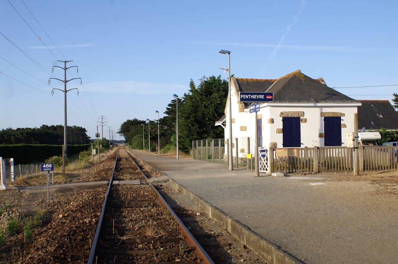
Get Directions: 0.00The train station Penthièvre is a French railway station on the line: Auray Quiberon, located in the town of Saint-Pierre-Quiberon, in the department: Morbihan in the region: Bretagne. Its latitude and longitude geographic coordinates are 47° 33′ 29″ North, 3° 07′ 59″ East with an altitude of 8 m. It is on the train line Auray Quiberon with 1 track and 1 platform. Read more...
-
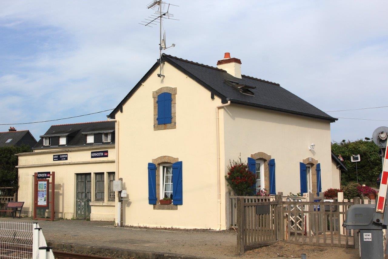
Get Directions: 0.00The train station Kerhostin is a French railway station on the line: Auray Quiberon, located in the village of Kerhostin in the municipality of Saint-Pierre-Quiberon, in the department: Morbihan in the region: Bretagne. Its latitude and longitude geographic coordinates are 47° 32′ 11″ North, 3° 08′ 12″ East with an altitude of 10 m. It is on the train line Auray Quiberon with 1 track and Read more...
-
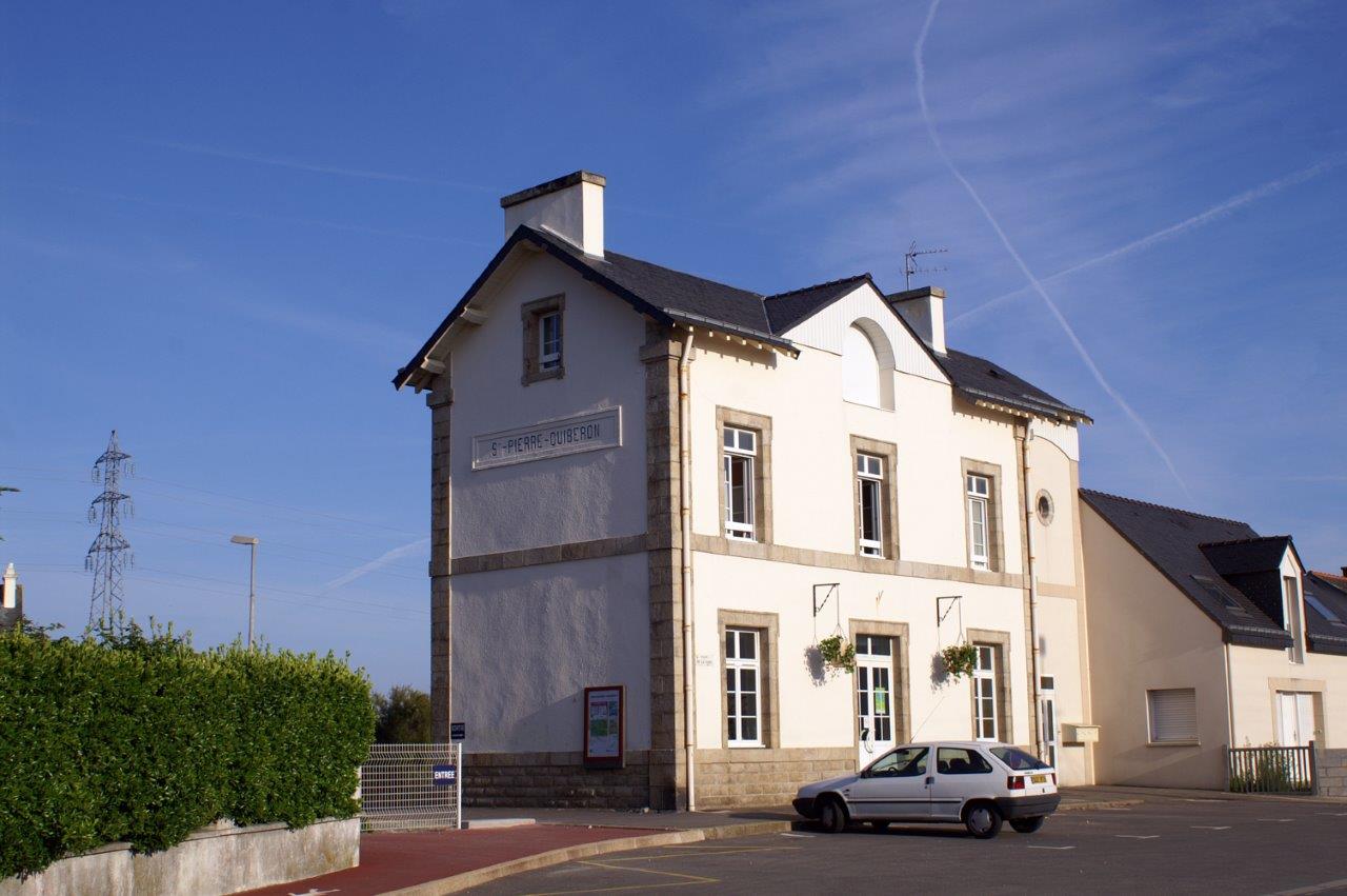
Get Directions: 0.00The train station Saint-Pierre-Quiberon is a French railway station on the line: Auray Quiberon, located in the town of Saint-Pierre-Quiberon, in the department: Morbihan in the region: Bretagne. Its latitude and longitude geographic coordinates are 47° 31′ 16″ North, 3° 08′ 20″ East with an altitude of 16 m. It is on the train line Auray Quiberon with 1 track and 1 platform. Read more...
-
Get Directions: 0.00The train stations Lacs is a French railway station on the line: Paris-Montparnasse Brest, located at a place called Les Lacs within the territory of the town of Saint-Aubin-des-Landes, in the department: Ille-et-Vilaine in the region: Bretagne. Its latitude and longitude geographic coordinates are 48° 06′ 33″ North, 1° 19′ 18″ East with an altitude of 59 m. It is on the train line Paris-Montparnasse – Read more...
-
Get Directions: 0.00The train station Saint-Armel is a French railway station on the line: Châteaubriant Rennes, located in the town of Saint-Armel (Ille-et-Vilaine), in the department: Ille-et-Vilaine in the region: Bretagne. It is in zone: Unipass zone 1. Its latitude and longitude geographic coordinates are 48° 00′ 52″ North, 1° 35′ 41″ East with an altitude of 48 m. It is on the train line Châteaubriant Rennes with Read more...
-
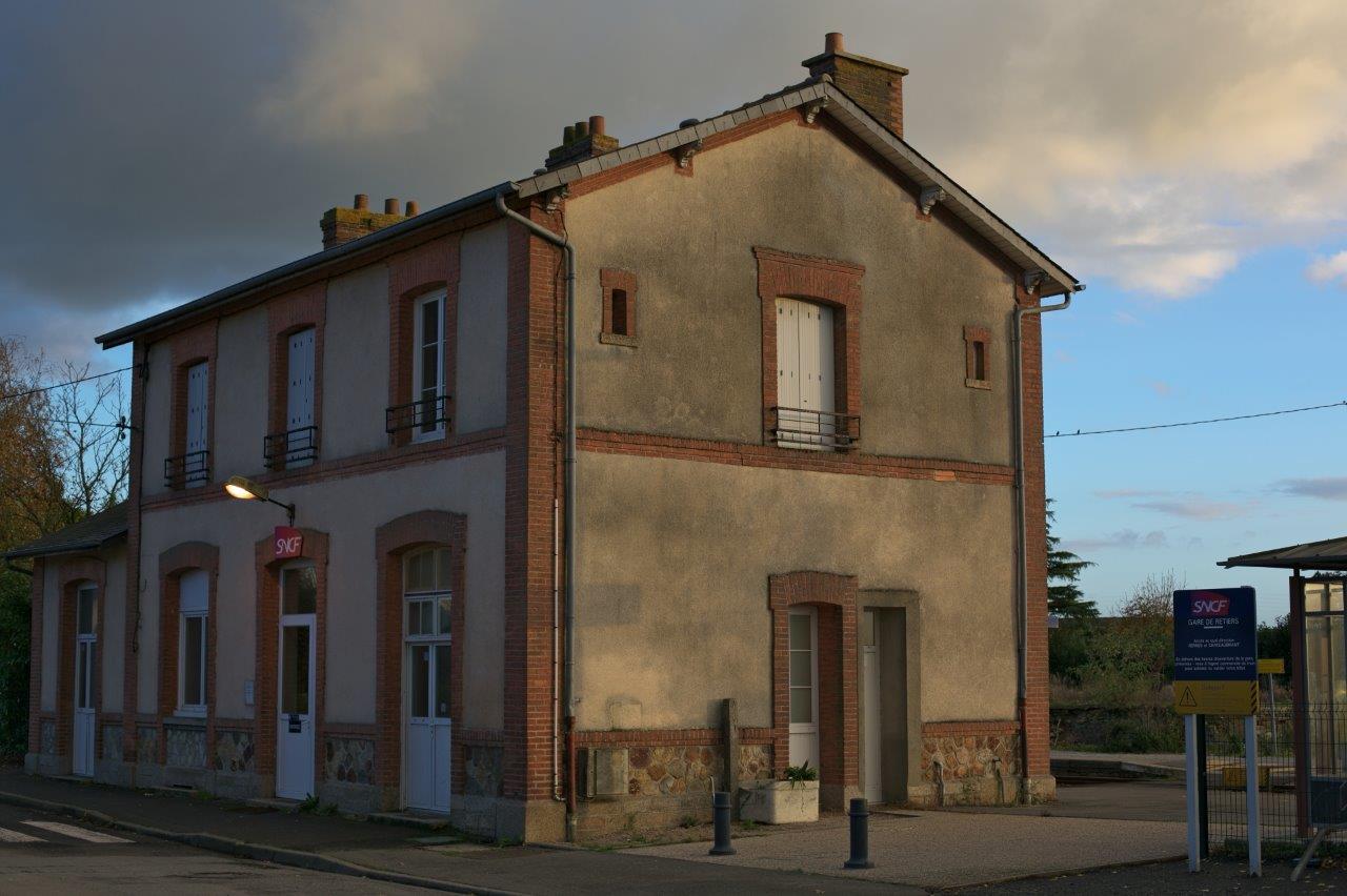
Get Directions: 0.00The train station Retiers is a French railway station on the line: Châteaubriant Rennes, located in the town of Retiers, in the department: Ille-et-Vilaine, in the region: Bretagne. Its latitude and longitude geographic coordinates are 47° 54′ 48″ North, 1° 23′ 23″ East with an altitude of 76 m. It is on the train line Châteaubriant Rennes with 2 (plus sidings) tracks and 2 platforms. Read more...
-
Get Directions: 0.00The train station Rennes-La Poterie is a French railway station on the line: Châteaubriant Rennes, located in the La Poterie neighborhood on the territory of the city of Rennes, in the department: Ille-et-Vilaine, in the region: Bretagne. It is in zone: Unipass zone 1. Its latitude and longitude geographic coordinates are 48° 05′ 32″ North, 1° 37′ 51″ East with an altitude of 50 m. It Read more...
-
Get Directions: 0.00La halte de Rennes-Pontchaillou is a French station on the line Rennes Saint-Malo-Saint-Servan, located near the boundary of the localities of La Touche and Villejean near the Centre Hospitalier Universitaire de Pontchaillou in Rennes, in the department: Ille-et-Vilaine in the region: Bretagne. It is in zone: Unipass zone 1. Its latitude and longitude geographic coordinates are 48° 07′ 07″ North, 1° 41′ 29″ East with an Read more...
-
Get Directions: 0.00The train station Questembert is a French railway station on the line: Savenay Landerneau, located in a place called Bel-Air, three kilometers from downtown Questembert, in the department: Morbihan in the region: Bretagne. Its latitude and longitude geographic coordinates are 47° 41′ 00″ North, 2° 26′ 59″ East with an altitude of 100 m. It is on the train line Savenay Landerneau, Questembert Ploërmel with 2 Read more...
-
Get Directions: 0.00The train station Quédillac is a French railway station on the line: Paris-Montparnasse Brest, located in the town of Quédillac, in the department: Ille-et-Vilaine, in the region: Bretagne. Its latitude and longitude geographic coordinates are 48° 14′ 54″ North, 2° 08′ 43″ East with an altitude of 74 m. It is on the train line Paris-Montparnasse Brest with 2 tracks and 2 platforms. Read more...
-
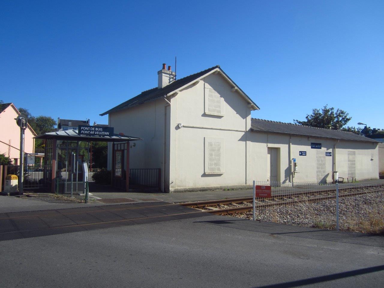
Get Directions: 0.00The train station Pont-de-Buis is a French railway station on the line: Savenay Landerneau, located in the town of Pont-de-Buis-lès-Quimerch, près du bourg de Pont-de-Buis, in the department: Finistère, in the region: Bretagne. Its latitude and longitude geographic coordinates are 48° 15′ 16″ North, 4° 05′ 10″ East with an altitude of 71 m. It is on the train line Savenay Landerneau with 2 tracks and Read more...
-
Get Directions: 0.00La gare Sainte-Anne, also called the gare de Sainte-Anne-d’Auray ou gare Sainte-Anne-en-Pluneret, is a French railway station on the line: Savenay Landerneau, located in the town of Pluneret, trois kilometers de Sainte-Anne-d’Auray, in the department: Morbihan, in the region: Bretagne. Its latitude and longitude geographic coordinates are 47° 40′ 43″ North, 2° 57′ 38″ East with an altitude of 34 m. It is on the train Read more...
-
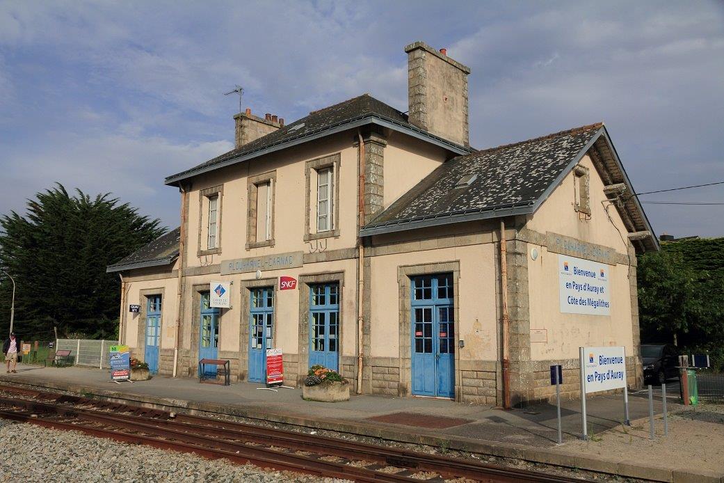
Get Directions: 0.00The train station Plouharnel – Carnac is a French railway station on the line: Auray Quiberon, located in the town of Plouharnel, near Carnac, in the department: Morbihan in the region: Bretagne. Its latitude and longitude geographic coordinates are 47° 36′ 16″ North, 3° 07′ 06″ East with an altitude of 22 m. It is on the train line Auray Quiberon with 2 tracks and 2 Read more...
-
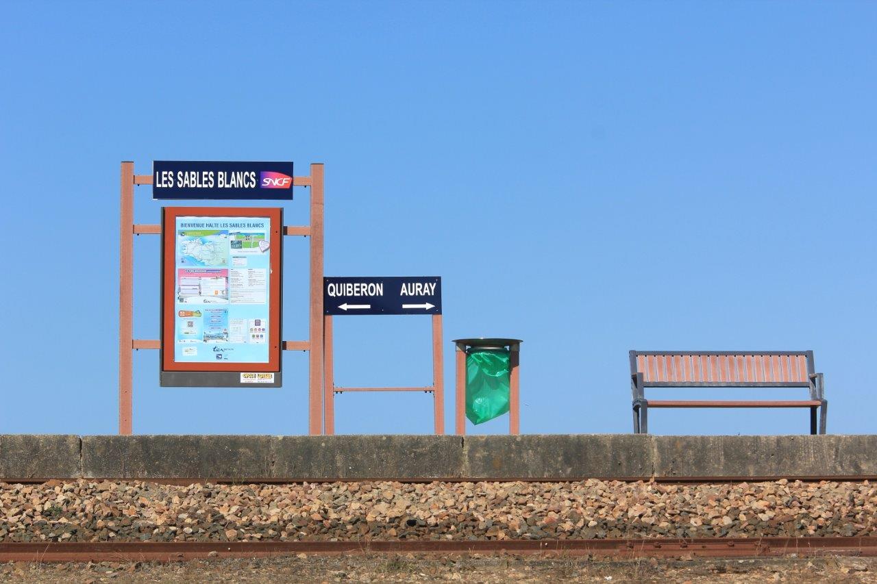
Get Directions: 0.00La halte des Sables-Blancs is a French station on the line Auray Quiberon, located at the entry of the Presqu’île de Quiberon within the territory of the town of Plouharnel, in the department: Morbihan in the region: Bretagne. Elle dessert principalement le camping municipal des Sables Blancs. Its latitude and longitude geographic coordinates are 47° 34′ 32″ North, 3° 07′ 57″ East with an altitude of Read more...
-
Get Directions: 0.00The train station Plouigneau is a French railway station on the line: Paris-Montparnasse Brest, located in the town of Plouigneau, in the department: Finistère, in the region: Bretagne. Its latitude and longitude geographic coordinates are 48° 33′ 53″ North, 3° 42′ 38″ East with an altitude of 140 m. It is on the train line Paris-Montparnasse – Brest with 2 (plus sidings) tracks and 2 platforms. Read more...
-
Get Directions: 0.00The train station Plounérin is a French railway station on the line: Paris-Montparnasse Brest, located in a place called La Gare within the territory of the town of Plounérin, in the department: Côtes-d’Armor in the region: Bretagne. Its latitude and longitude geographic coordinates are 48° 34′ 54″ North, 3° 34′ 05″ East with an altitude of 157 m. It is on the train line Paris-Montparnasse – Read more...
-
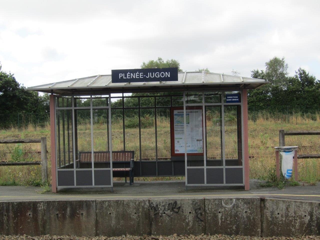
Get Directions: 0.00The train station Plénée-Jugon is a French railway station on the line: Paris-Montparnasse Brest, located in the town of Plénée-Jugon, in the department: Côtes-d’Armor, in the region: Bretagne. Its latitude and longitude geographic coordinates are 48° 22′ 34″ North, 2° 21′ 08″ East with an altitude of 68 m. It is on the train line Paris-Montparnasse Brest with 2 tracks and 2 platforms serving 11 467 passengers Read more...
-
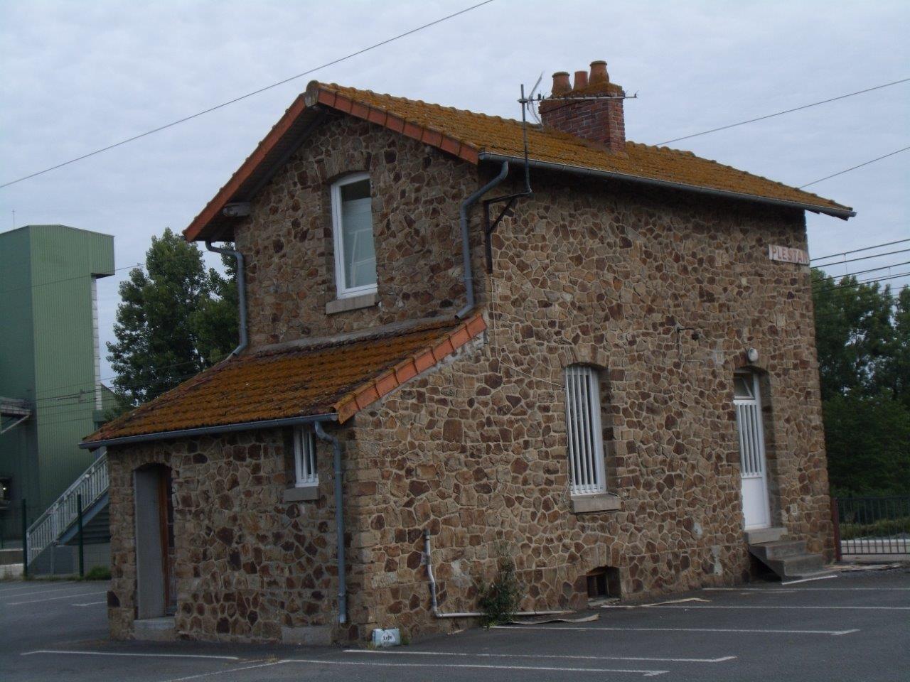
Get Directions: 0.00The train station Plestan is a French railway station on the line: Paris-Montparnasse Brest, located in the town of Plestan, in the department: Côtes-d’Armor in the region: Bretagne. Its latitude and longitude geographic coordinates are 48° 25′ 30″ North, 2° 26′ 28″ East with an altitude of 89 m. It is on the train line Paris-Montparnasse Brest with 2 tracks and 2 platforms. Read more...
-
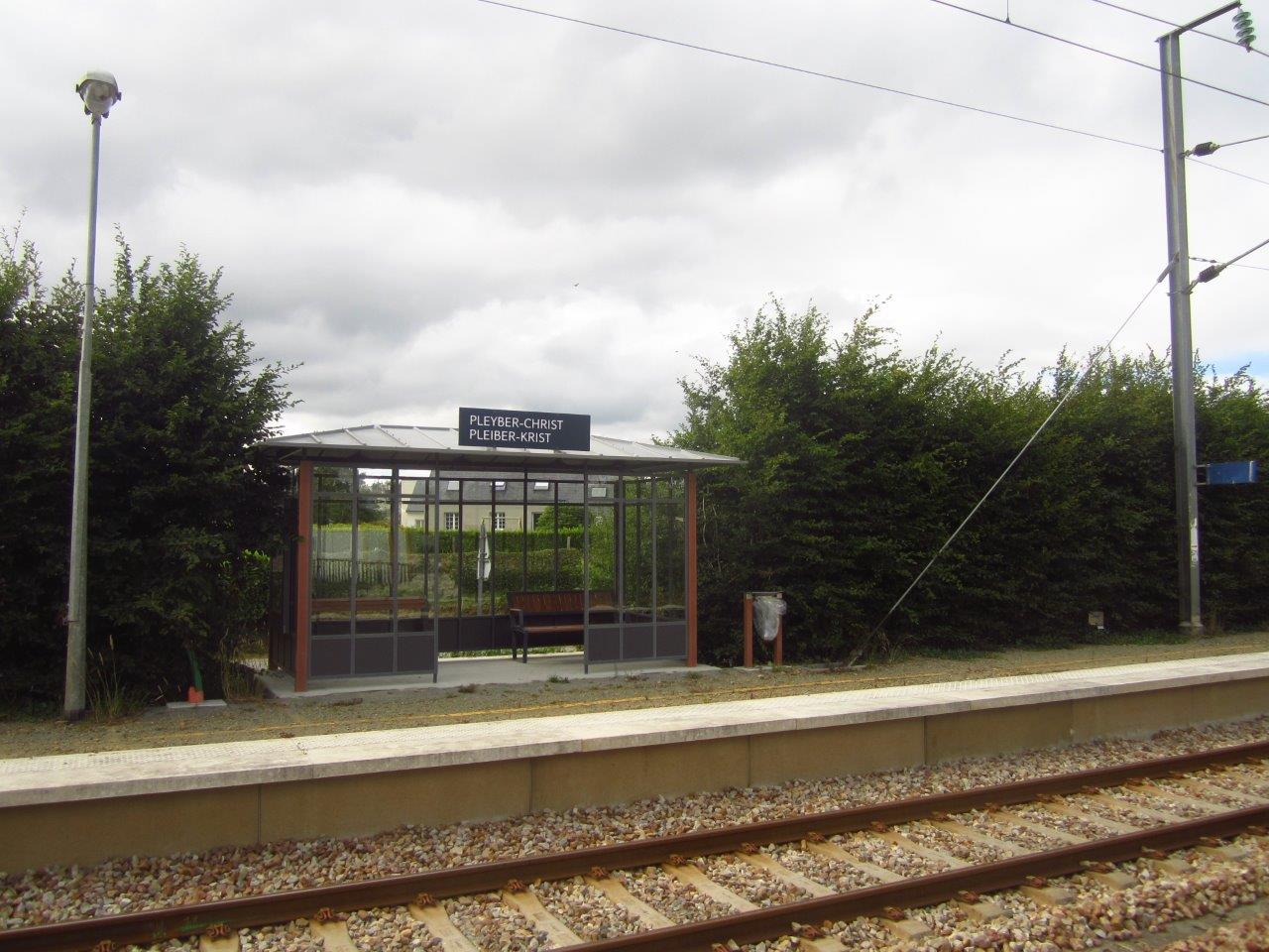
Get Directions: 0.00The train station Pleyber-Christ is a French railway station on the line: Paris-Montparnasse Brest, located in the town of Pleyber-Christ, in the department: Finistère, in the region: Bretagne. Its latitude and longitude geographic coordinates are 48° 30′ 28″ North, 3° 52′ 56″ East with an altitude of 131 m. It is on the train line Paris-Montparnasse Brest with 2 (plus sidings) tracks and 2 platforms. Read more...
-
Get Directions: 0.00The train station Belz – Ploemel is a French railway station on the line: Auray Quiberon, located in the town of Ploemel, proche de Belz, in the department: Morbihan in the region: Bretagne. Its latitude and longitude geographic coordinates are 47° 39′ 09″ North, 3° 04′ 20″ East with an altitude of 30 m. It is on the train line Auray Quiberon with 1 track and Read more...
-
Get Directions: 0.00The train station Plouaret-Trégor is a French railway station on the line: Paris-Montparnasse Brest, located in the town of Plouaret in the department: Côtes-d’Armor in the region: Bretagne. Its latitude and longitude geographic coordinates are 48° 36′ 22″ North, 3° 28′ 01″ East with an altitude of 123 m. It is on the train line Paris-Montparnasse Brest and Plouaret Lannion with 3 (plus sidings) tracks and Read more...
-
Get Directions: 0.00The train station Plancoët is a French railway station on the line: Lison Lamballe, located in the town of Plancoët, in the department: Côtes-d’Armor in the region: Bretagne. Its latitude and longitude geographic coordinates are 48° 31′ 18″ North, 2° 13′ 44″ East with an altitude of 8 m. It is on the train line Lison Lamballe with 1 track and 1 platform. Read more...
-
Get Directions: 0.00The train station Pléchâtel is a French railway station on the line: Rennes Redon, located in the town of Pléchâtel, near the village of Saint-Malo-de-Phily on the opposite bank of the Vilaine, in the department: Ille-et-Vilaine, in the region: Bretagne. Its latitude and longitude geographic coordinates are 47° 52′ 19″ North, 1° 46′ 35″ East with an altitude of 13 m. It is on the train Read more...
-
Get Directions: 0.00The train station Noyal – Acigné is a French railway station on the line: Paris-Montparnasse Brest, located in the town of Noyal-sur-Vilaine, near Acigné, in the department: Ille-et-Vilaine in the region: Bretagne. Its latitude and longitude geographic coordinates are 48° 07′ 08″ North, 1° 31′ 42″ East with an altitude of 47 m. It is on the train line Paris-Montparnasse – Brest with 2 tracks and Read more...
-
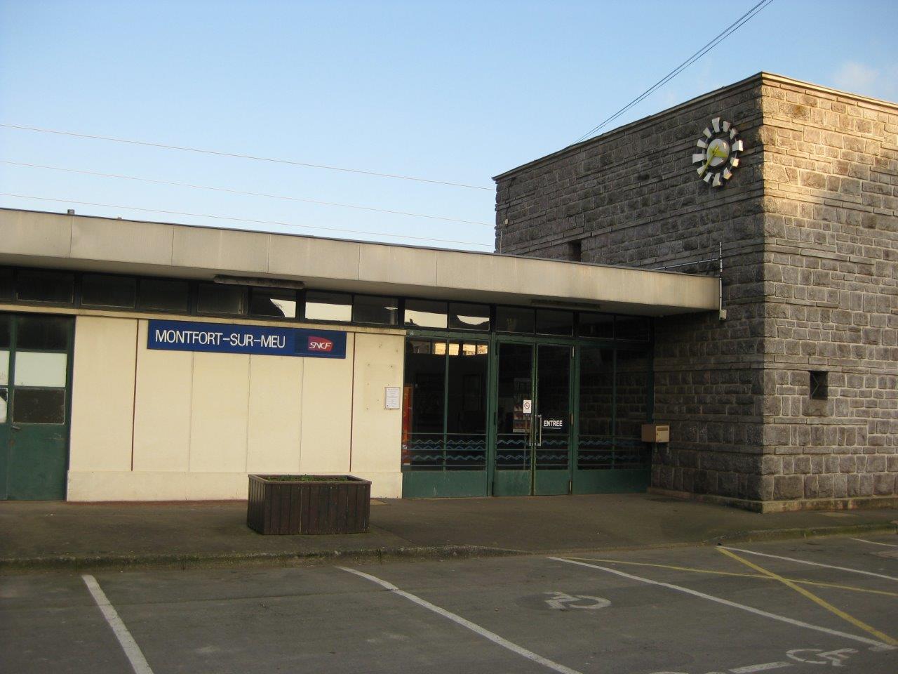
Get Directions: 0.00The train station Montfort-sur-Meu is a French railway station on the line: Paris-Montparnasse Brest, located in the town of Montfort-sur-Meu, in the department: Ille-et-Vilaine in the region: Bretagne. Its latitude and longitude geographic coordinates are 48° 08′ 20″ North, 1° 56′ 56″ East with an altitude of 42 m. It is on the train line Paris-Montparnasse Brest with 2 tracks and 2 platforms serving 315 000 Read more...
