-
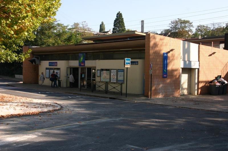
Get Directions: 0.00The train station in Yerres is a French railway station of the town of Yerres (departement: Essonne). It is located at 19,064 kilometers from the Gare de Lyon on the line from Paris-Lyon Marseille-Saint-Charles between Montgeron – Crosne and Brunoy. It is in zone: 4 (tarification Île-de-France). Its latitude and longitude geographic coordinates are 48° 42′ 24″ North, 2° 29′ 00″ East with an altitude of Read more...
-
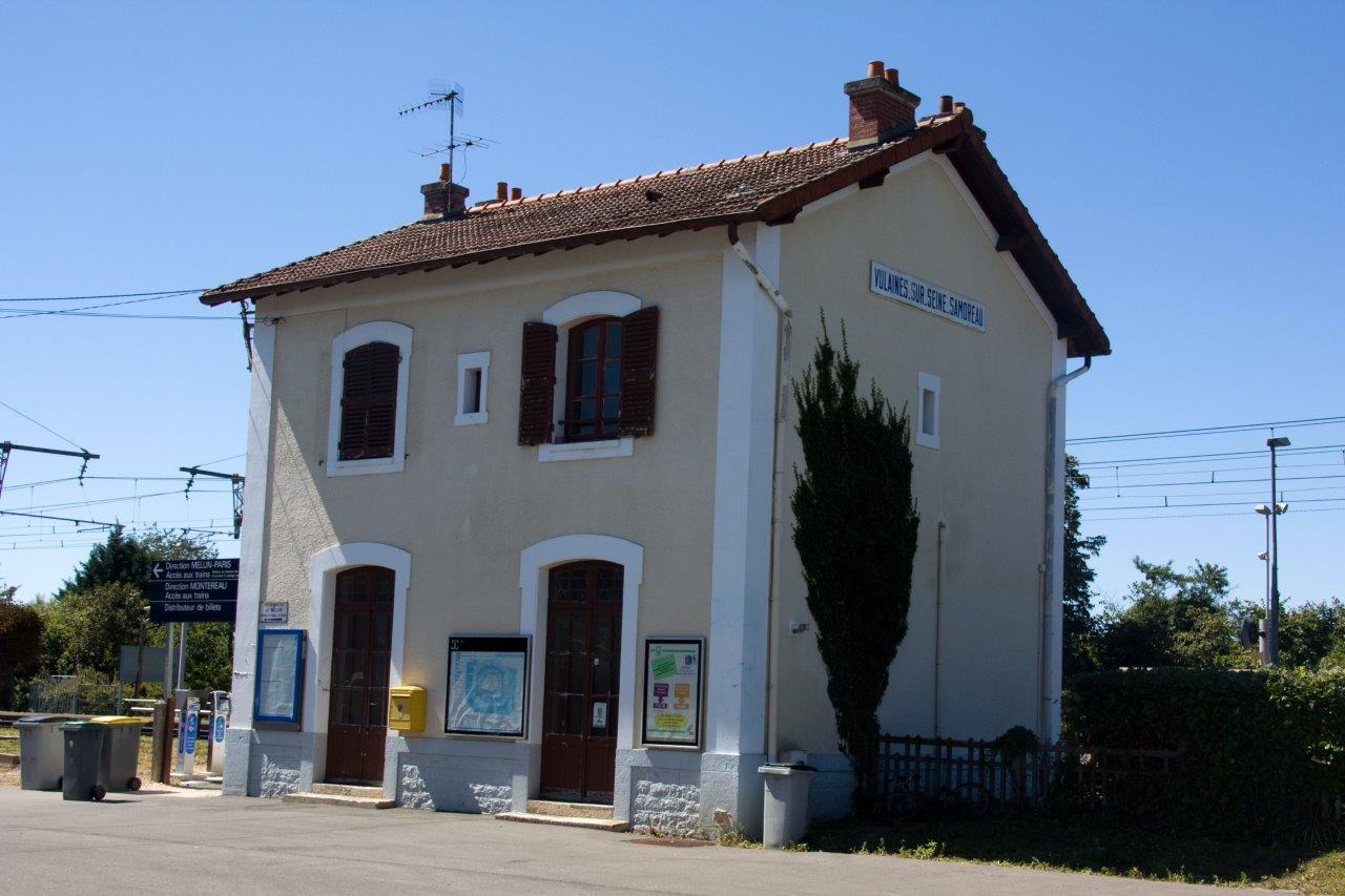
Get Directions: 0.00The train station Vulaines-sur-Seine – Samoreau is a French railway station on the line: Corbeil-Essonnes Montereau, located in the town of Vulaines-sur-Seine, in the department: Seine-et-Marne in the region: Île-de-France. It is in zone: 5 (tarification Île-de-France). Its latitude and longitude geographic coordinates are 48° 25′ 50″ North, 2° 45′ 11″ East with an altitude of 53 m. It is on the train line Corbeil-Essonnes Montereau Read more...
-
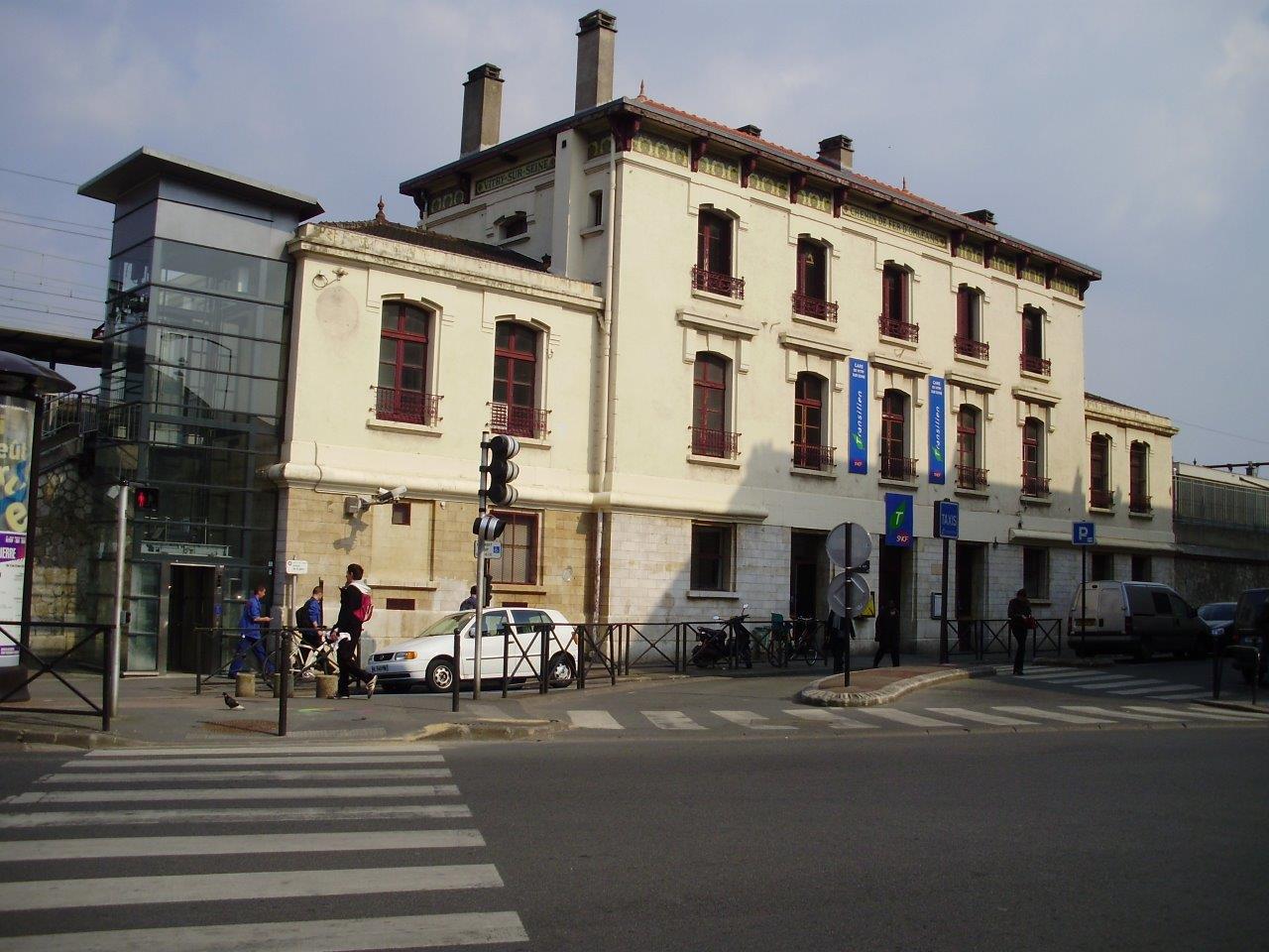
Get Directions: 0.00The train station Vitry-sur-Seine is a French railway station on the line: Paris-Austerlitz Bordeaux-Saint-Jean, located in the town of Vitry-sur-Seine, in the department: Val-de-Marne in the region: Île-de-France. It is in zone: 3 (tarification Île-de-France). Its latitude and longitude geographic coordinates are 48° 48′ 02″ North, 2° 24′ 08″ East with an altitude of 37 m. It is on the train line Paris-Austerlitz – Bordeaux-Saint-Jean with Read more...
-
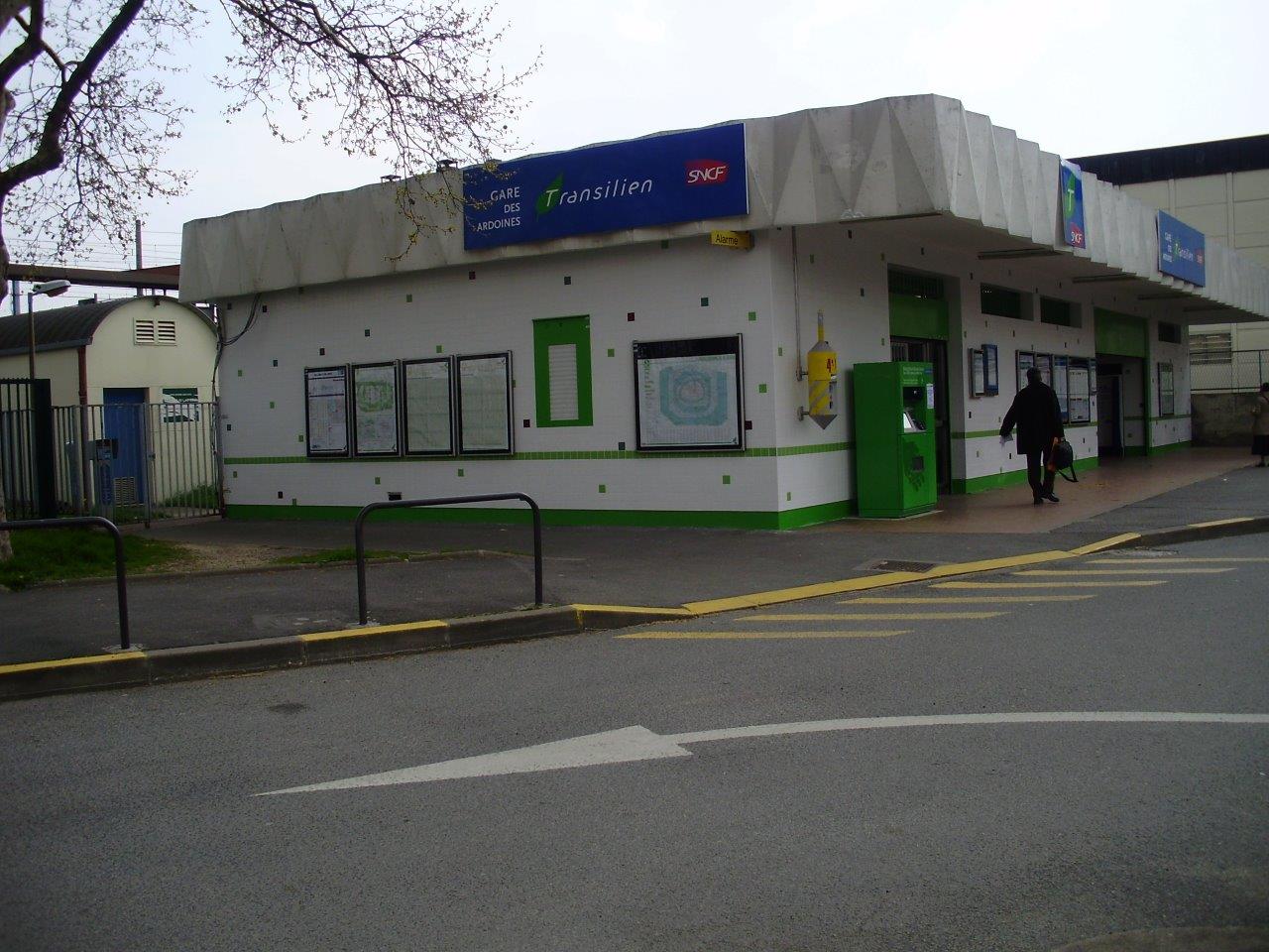
Get Directions: 0.00The train stations Ardoines is a French railway station on the line: Paris-Austerlitz Bordeaux-Saint-Jean, located in the town of Vitry-sur-Seine, in the department: Val-de-Marne in the region: Île-de-France. It is in zone: 3 (tarification Île-de-France). Its latitude and longitude geographic coordinates are 48° 46′ 57″ North, 2° 24′ 34″ East with an altitude of 33 m. It is on the train line Paris-Austerlitz Bordeaux-Saint-Jean with 4 Read more...
-
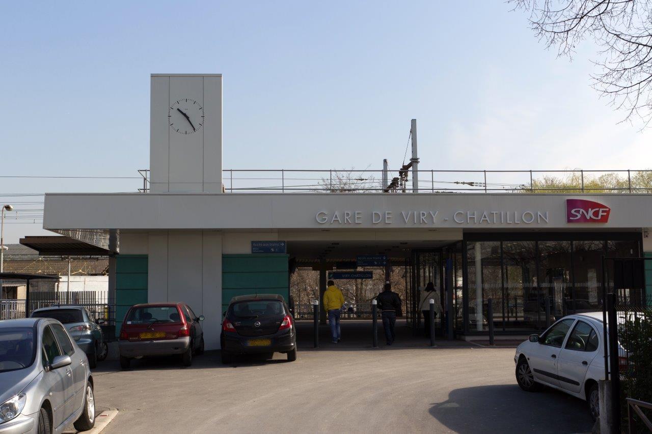
Get Directions: 0.00The train station Viry-Châtillon is a French railway station on the line: Villeneuve-Saint-Georges Montargis, located in the town of Viry-Châtillon, in the department: Essonne in the region: Île-de-France. It is in zone: 4 (tarification Île-de-France). Its latitude and longitude geographic coordinates are 48° 40′ 34″ North, 2° 23′ 11″ East with an altitude of 35 m. It is on the train line de Villeneuve-Saint-Georges Montargis with Read more...
-
Get Directions: 0.00The train station Viroflay-Rive-Gauche is a French railway station on the line Paris-Montparnasse Brest and Versailles-Rive-Gauche Invalides, located in the town of Viroflay, in the department: Yvelines, in the region: Île-de-France. It is in zone: 3 (tarification Île-de-France). Its latitude and longitude geographic coordinates are 48° 48′ 02″ North, 2° 10′ 17″ East with an altitude of 111 m. It is on the train line Paris-Montparnasse Read more...
-
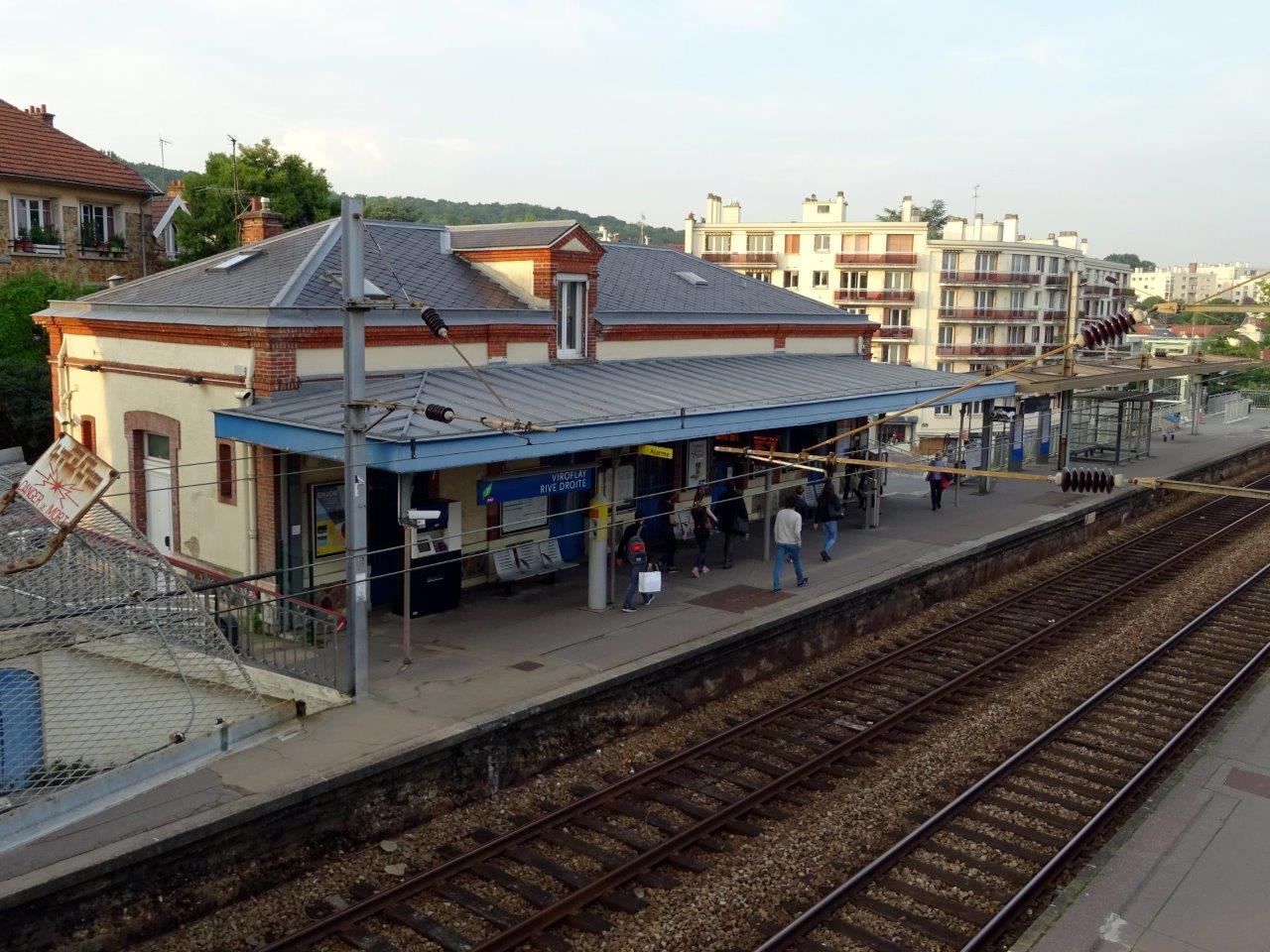
Get Directions: 0.00The train station Viroflay-Rive-Droite is a French railway station on the line: Paris-Saint-Lazare Versailles-Rive-Droite located in the town of Viroflay (département des Yvelines). It is in zone: 3 (tarification Île-de-France). Its latitude and longitude geographic coordinates are 48° 48′ 20″ North, 2° 10′ 06″ East with an altitude of 114 m. It is on the train line Paris-Saint-Lazare – Versailles-Rive-Droite with 2 tracks and 2 side Read more...
-
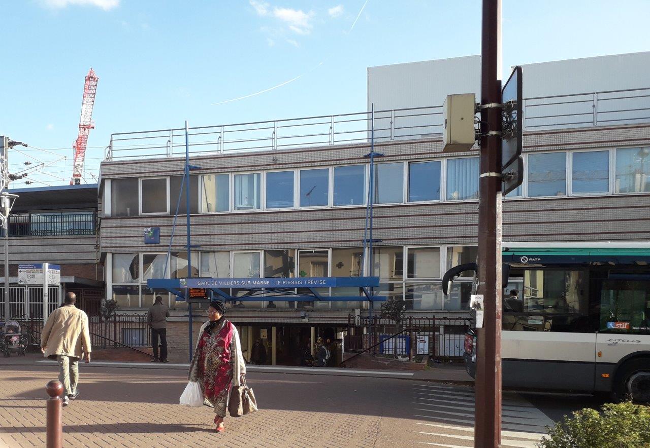
Get Directions: 0.00The train station Villiers-sur-Marne – Le Plessis-Trévise, located 20,741 kilometers from Gare de l’Est on the line Paris-Est Mulhouse-Ville, is a French railway station in the town of Villiers-sur-Marne, near Plessis-Trévise (departement: Val-de-Marne). It is in zone: 4 (tarification Île-de-France). Its latitude and longitude geographic coordinates are 48° 49′ 24″ North, 2° 32′ 33″ East. It is on the train line Paris-Est Mulhouse-Ville and Grande Ceinture Read more...
-
Get Directions: 0.00The train station Le Parc des Expositions is a French railway station on the line: Aulnay-sous-Bois Roissy 2-RER, located in the town of Villepinte (departement: Seine-Saint-Denis). It is in zone: 4 (tarification Île-de-France). Its latitude and longitude geographic coordinates are 48° 58′ 27″ North, 2° 30′ 56″ East. It is on the train line Aulnay-sous-Bois Roissy 2-RER with 3 tracks and 2 platforms serving 2 364 Read more...
-
Get Directions: 0.00The train station Le Vert-Galant is a French railway station located to the South-East of the territory of the town of Villepinte, near the boundary of Tremblay-en-France to the East, in the department: Seine-Saint-Denis, in the region: Île-de-France. It is in zone: 4 (tarification Île-de-France). Its latitude and longitude geographic coordinates are 48° 56′ 39″ North, 2° 34′ 00″ East. It is on the train line Read more...
-
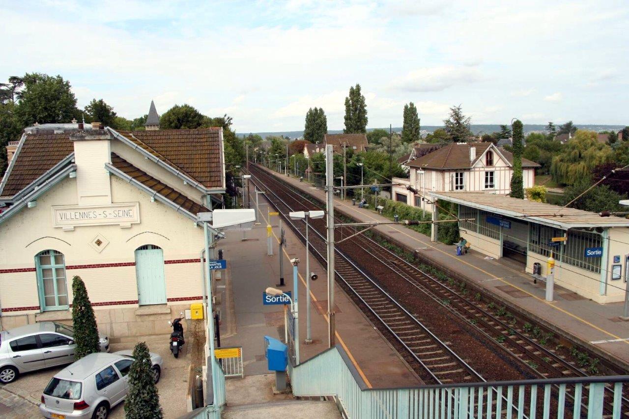
Get Directions: 0.00The train station Villennes-sur-Seine is a French railway station on the line: Paris-Saint-Lazare to Havre, located in the town of Villennes-sur-Seine (département des Yvelines). It is in zone: 5 (tarification Île-de-France). Its latitude and longitude geographic coordinates are 48° 56′ 22″ North, 1° 59′ 59″ East with an altitude of 24 m. It is on the train line Paris-Saint-Lazare Havre with 2 tracks and 2 side Read more...
-
Get Directions: 0.00The train station Villeneuve-Triage is a French railway station on the line: Paris-Lyon Marseille-Saint-Charles located in the town of Villeneuve-Saint-Georges (Val-de-Marne). It is in zone: 4 (tarification Île-de-France). Its latitude and longitude geographic coordinates are 48° 44′ 42″ North, 2° 26′ 19″ East with an altitude of 34 m. It is on the train line Paris-Lyon Marseille-Saint-Charles with 3 tracks and 2 de 250 m platforms Read more...
-
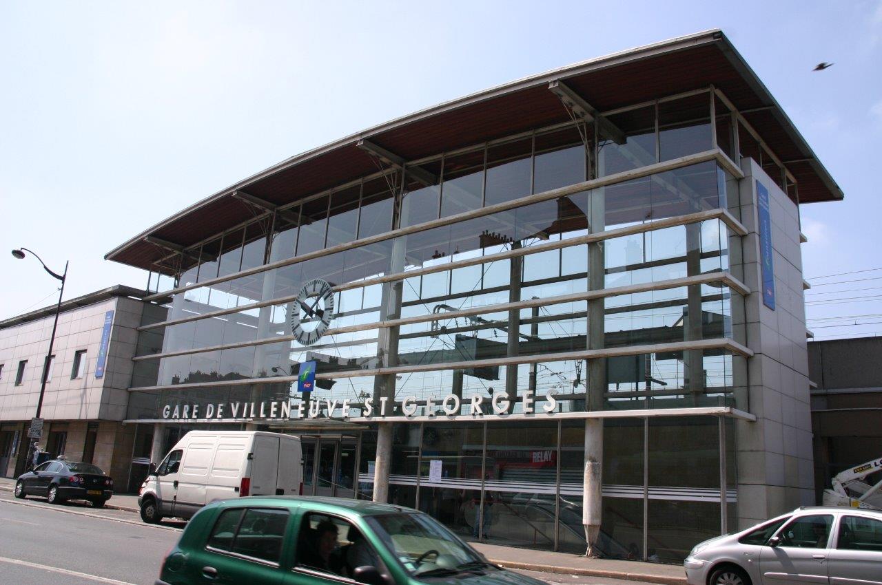
Get Directions: 0.00The train station Villeneuve-Saint-Georges is a French railway station on the line: Paris-Lyon Marseille-Saint-Charles, located in the town of Villeneuve-Saint-Georges (departement: Val-de-Marne). It is in zone: 4 (tarification Île-de-France). Its latitude and longitude geographic coordinates are 48° 43′ 47″ North, 2° 26′ 46″ East with an altitude of 36 m. It is on the train line Paris-Lyon Marseille-Saint-Charles and Villeneuve-Saint-Georges Montargis with 8 (including seven ) Read more...
-
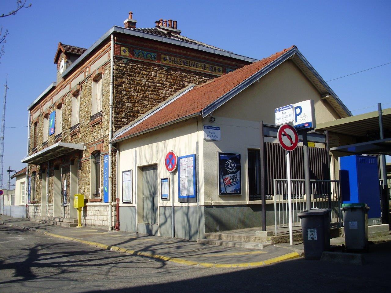
Get Directions: 0.00The train station Villeneuve-le-Roi is a French railway station on the line: Paris-Austerlitz Bordeaux-Saint-Jean, located in the town of Villeneuve-le-Roi, in the department: Val-de-Marne, in the region: Île-de-France. It is in zone: 4 (tarification Île-de-France). Its latitude and longitude geographic coordinates are 48° 44′ 24″ North, 2° 25′ 35″ East with an altitude of 39 m. It is on the train line Paris-Austerlitz Bordeaux-Saint-Jean with 4 Read more...
-
Get Directions: 0.00Les Coquetiers is a French railway station on the line: Bondy Aulnay-sous-Bois (dite ligne des Coquetiers), located in the town of Villemomble, in the departement: Seine-Saint-Denis in the region: Île-de-France. It is in zone: 3 (tarification Île-de-France). Its latitude and longitude geographic coordinates are 48° 53′ 33″ North, 2° 29′ 57″ East. It is on the train line Bondy Aulnay-sous-Bois with 2 tracks and 2 side Read more...
-
Get Directions: 0.00The train station Villaines is a French station on the line Montsoult – Maffliers Luzarches, located in the town of Villaines-sous-Bois departement: Val-d’Oise). It is in zone: 5 (tarification Île-de-France). Its latitude and longitude geographic coordinates are 49° 04′ 46″ North, 2° 21′ 03″ East with an altitude of 122 m. It is on the train line Montsoult – Maffliers Luzarches with 1 track and 1 Read more...
-
Get Directions: 0.00The train station Villabé is a French railway station on the line: Corbeil-Essonnes Montereau, located in the town of Villabé, in the department: Essonne, in the region: Île-de-France. It is in zone: 5 (tarification Île-de-France). Its latitude and longitude geographic coordinates are 48° 35′ 33″ North, 2° 27′ 42″ East with an altitude of 44 m. It is on the train line Corbeil-Essonnes – Montereau with Read more...
-
Get Directions: 0.00The train station Vigneux-sur-Seine is a French railway station on the line: Villeneuve-Saint-Georges Montargis, located in the town of Vigneux-sur-Seine, in the department: Essonne in the region: Île-de-France. It is in zone: 4 (tarification Île-de-France). Its latitude and longitude geographic coordinates are 48° 42′ 30″ North, 2° 24′ 52″ East with an altitude of 40 m. It is on the train line Villeneuve-Saint-Georges – Montargis with Read more...
-
Get Directions: 0.00The train station Viarmes is a French railway station on the line: Montsoult – Maffliers Luzarches, located in the town of Viarmes, in the department: Val-d’Oise, in the region: Île-de-France. It is in zone: 5 (tarification Île-de-France). Its latitude and longitude geographic coordinates are 49° 07′ 01″ North, 2° 22′ 06″ East with an altitude of 123 m. It is on the train line Montsoult – Read more...
-
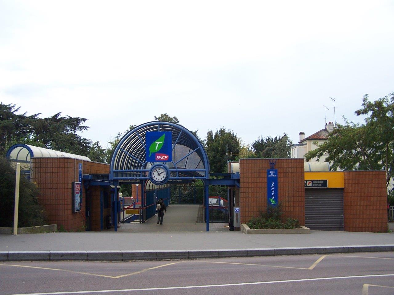
Get Directions: 0.00The train station Montreuil is a French railway station on the line: Paris-Saint-Lazare Versailles-Rive-Droite, located in the town of Versailles, in the Montreuil neighborhood (département des Yvelines). It is in zone: 4 (tarification Île-de-France). Its latitude and longitude geographic coordinates are 48° 48′ 23″ North, 2° 09′ 04″ East with an altitude of 121 m. It is on the train line Paris-Saint-Lazare – Versailles-Rive-Droite with 2 Read more...
-
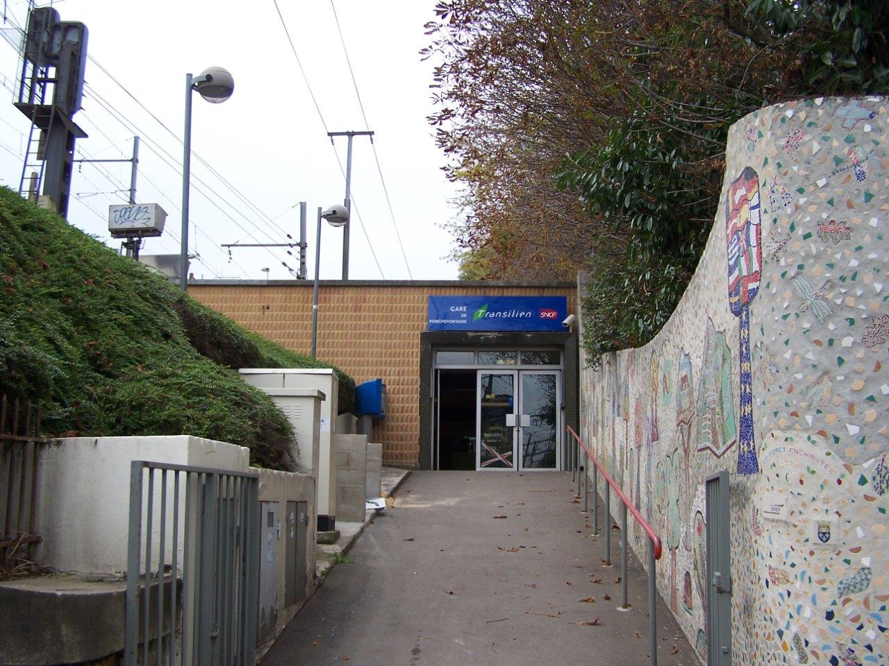
Get Directions: 0.00The train station Porchefontaine is a French railway station located in the town of Versailles in the department: Yvelines in the region: Île-de-France. It is in zone: 4 (tarification Île-de-France). Its latitude and longitude geographic coordinates are 48° 47′ 48″ North, 2° 09′ 14″ East with an altitude of 117 m. It is on the train line Invalides Versailles-Rive-Gauche with 2 plus through tracks and 2 Read more...
-
Get Directions: 0.00The train station Vernou-sur-Seine is a French station on the line Corbeil-Essonnes Montereau, located in the town of Vernou-la-Celle-sur-Seine (département de Seine-et-Marne). It is in zone: 5 (tarification Île-de-France). Its latitude and longitude geographic coordinates are 48° 23′ 12″ North, 2° 50′ 32″ East. It is on the train line Corbeil-Essonnes Montereau with 2 tracks and 2 platforms. Read more...
-
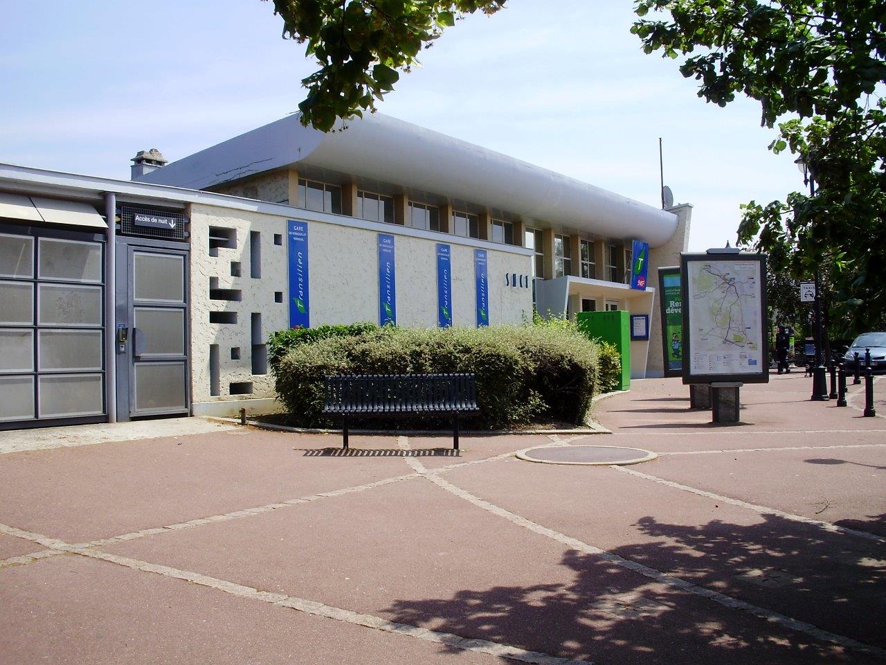
Get Directions: 0.00The train station Vernouillet – Verneuil is a French railway station in the municipality of Verneuil-sur-Seine, near Vernouillet in the department: Yvelines. It is in zone: 5 (tarification Île-de-France). Its latitude and longitude geographic coordinates are 48° 58′ 54″ North, 1° 58′ 59″ East with an altitude of 23 m. It is on the train line Paris-Saint-Lazare Havre with 4 tracks and 1 central plus 2 Read more...
-
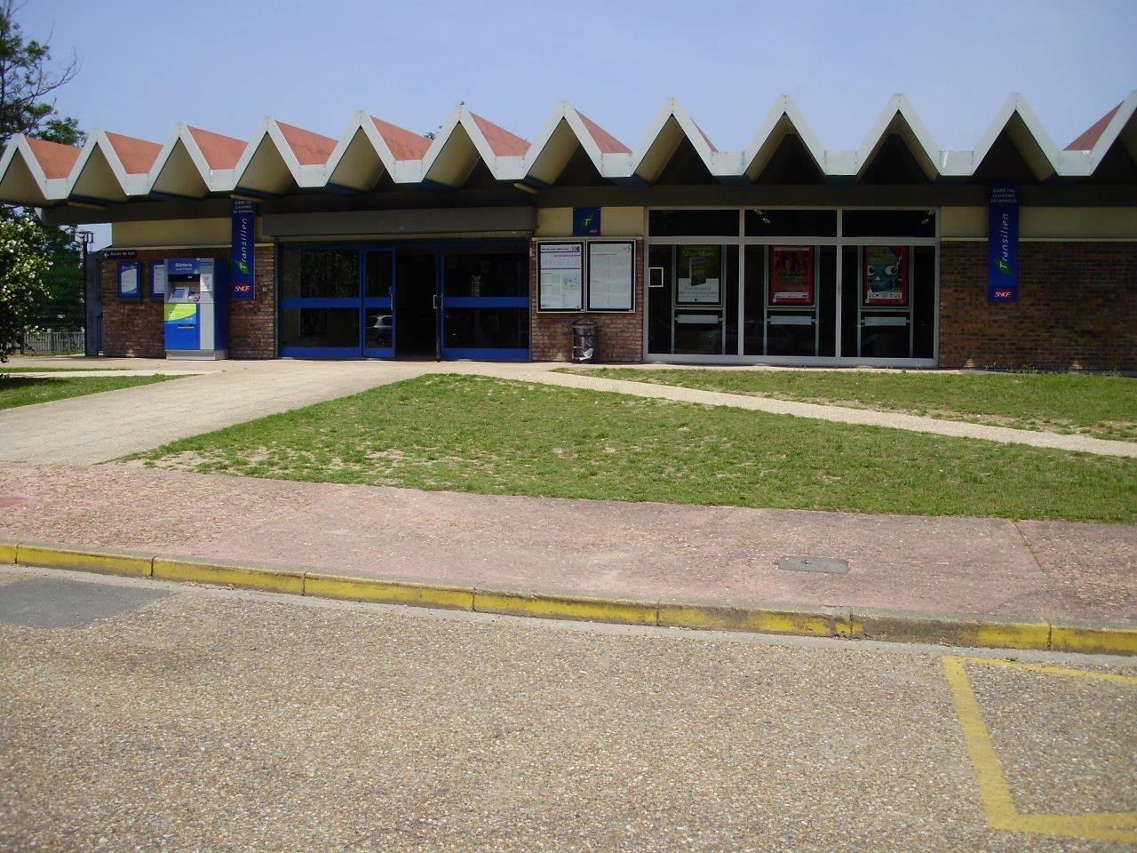
Get Directions: 0.00The train stations Clairières de Verneuil is a French railway station in the municipality of Verneuil-sur-Seine, in the department: Yvelines. It is in zone: 5 (tarification Île-de-France). Its latitude and longitude geographic coordinates are 48° 59′ 33″ North, 1° 57′ 20″ East with an altitude of 27 m. It is on the train line Paris-Saint-Lazare Havre with 4 tracks and 1 central platforms. Read more...
-
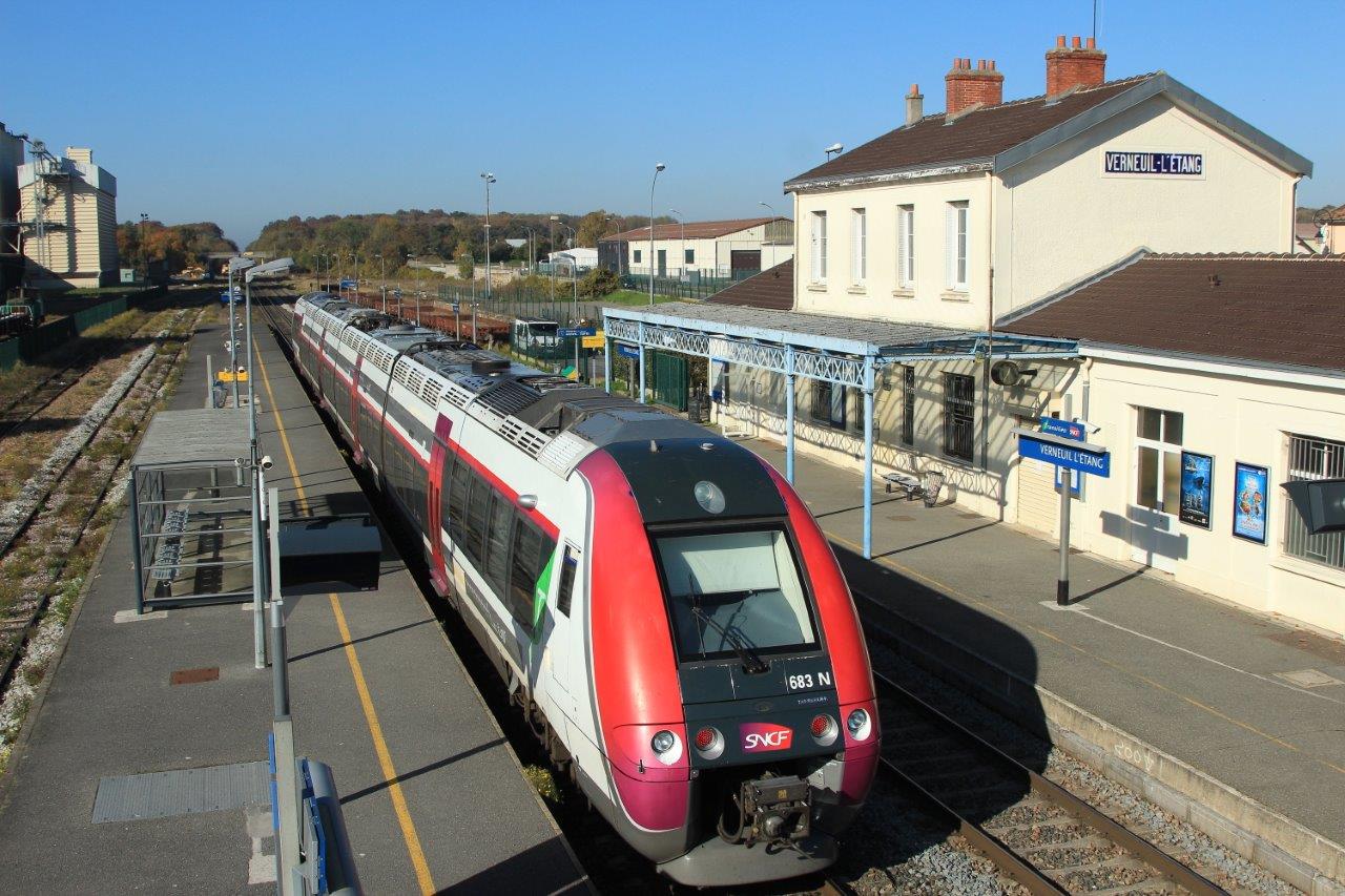
Get Directions: 0.00The train station Verneuil-l’Étang is a French railway station on the line: Paris-Est Mulhouse-Ville, located in the town of Verneuil-l’Étang, in the department: Seine-et-Marne in the region: Île-de-France. It is in zone: 5 (tarification Île-de-France). Its latitude and longitude geographic coordinates are 48° 38′ 40″ North, 2° 49′ 29″ East with an altitude of 96 m. It is on the train line Paris-Est Mulhouse-Ville and Paris-Bastille Read more...
-
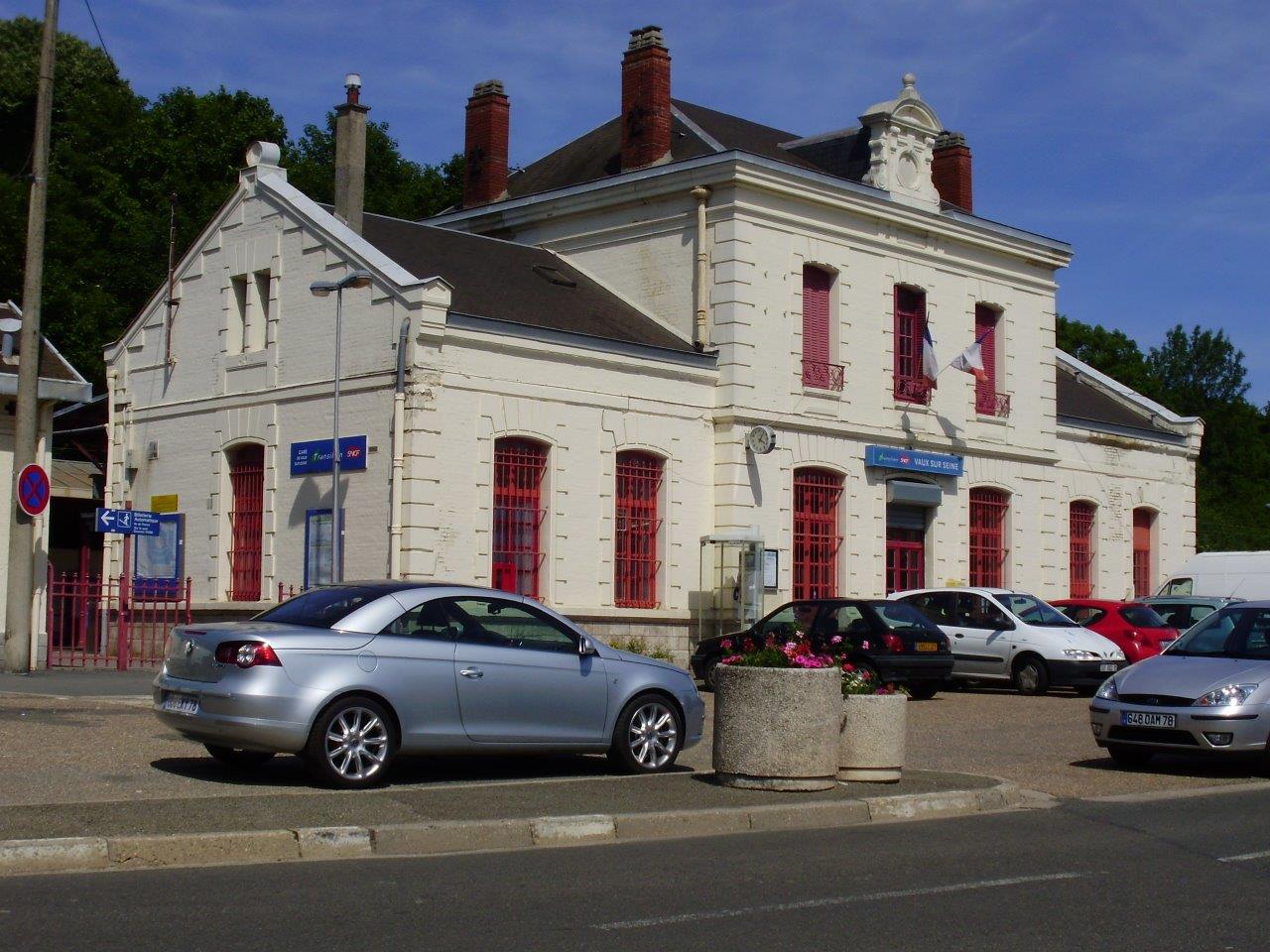
Get Directions: 0.00The train station Vaux-sur-Seine is a French railway station located in the town of Vaux-sur-Seine in the department: Yvelines in the region: Île-de-France. It is in zone: 5 (tarification Île-de-France). Its latitude and longitude geographic coordinates are 49° 00′ 25″ North, 1° 57′ 48″ East with an altitude of 42 m. It is on the train line Paris-Saint-Lazare Mantes-Station via Conflans-Sainte-Honorine with 2 tracks and 2 Read more...
-
Get Directions: 0.00The train station Vaucresson is a French railway station on the line: Saint-Cloud Saint-Nom-la-Bretèche, located in the town of Vaucresson (département des Hauts-de-Seine). It is in zone: 4 (tarification Île-de-France). Its latitude and longitude geographic coordinates are 48° 50′ 13″ North, 2° 09′ 09″ East with an altitude of 143 m. It is on the train line Saint-Cloud – Saint-Nom-la-Bretèche with 2 central tracks and 2 Read more...
-
Get Directions: 0.00The train station Vanves – Malakoff is a French railway station on the line: Paris-Montparnasse Brest, located in the town of Vanves, near Malakoff, in the department: Hauts-de-Seine, in the region: Île-de-France. It is in zone: 2 (tarification Île-de-France). Its latitude and longitude geographic coordinates are 48° 49′ 06″ North, 2° 17′ 29″ East with an altitude of 72 m. It is on the train line Read more...
-
Get Directions: 0.00The train station Vaires – Torcy is a French railway station on the line: Paris-Est Strasbourg-Ville, located in the town of Vaires-sur-Marne, near Torcy, in the department: Seine-et-Marne in the region: Île-de-France. It is in zone: 5 (tarification Île-de-France). Its latitude and longitude geographic coordinates are 48° 52′ 31″ North, 2° 38′ 23″ East with an altitude of 42 m. It is on the train line Read more...
-
Get Directions: 0.00The train station Us is a French railway station on the line: Saint-Denis Dieppe, located in the town of Us, in the department: Val-d’Oise in the region: Île-de-France. It is in zone: 5 (tarification Île-de-France). Its latitude and longitude geographic coordinates are 49° 05′ 59″ North, 1° 58′ 14″ East with an altitude of 50 m. It is on the train line Saint-Denis Dieppe with 2 Read more...
