-
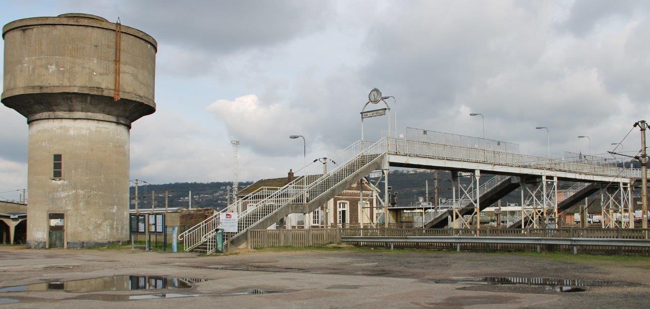
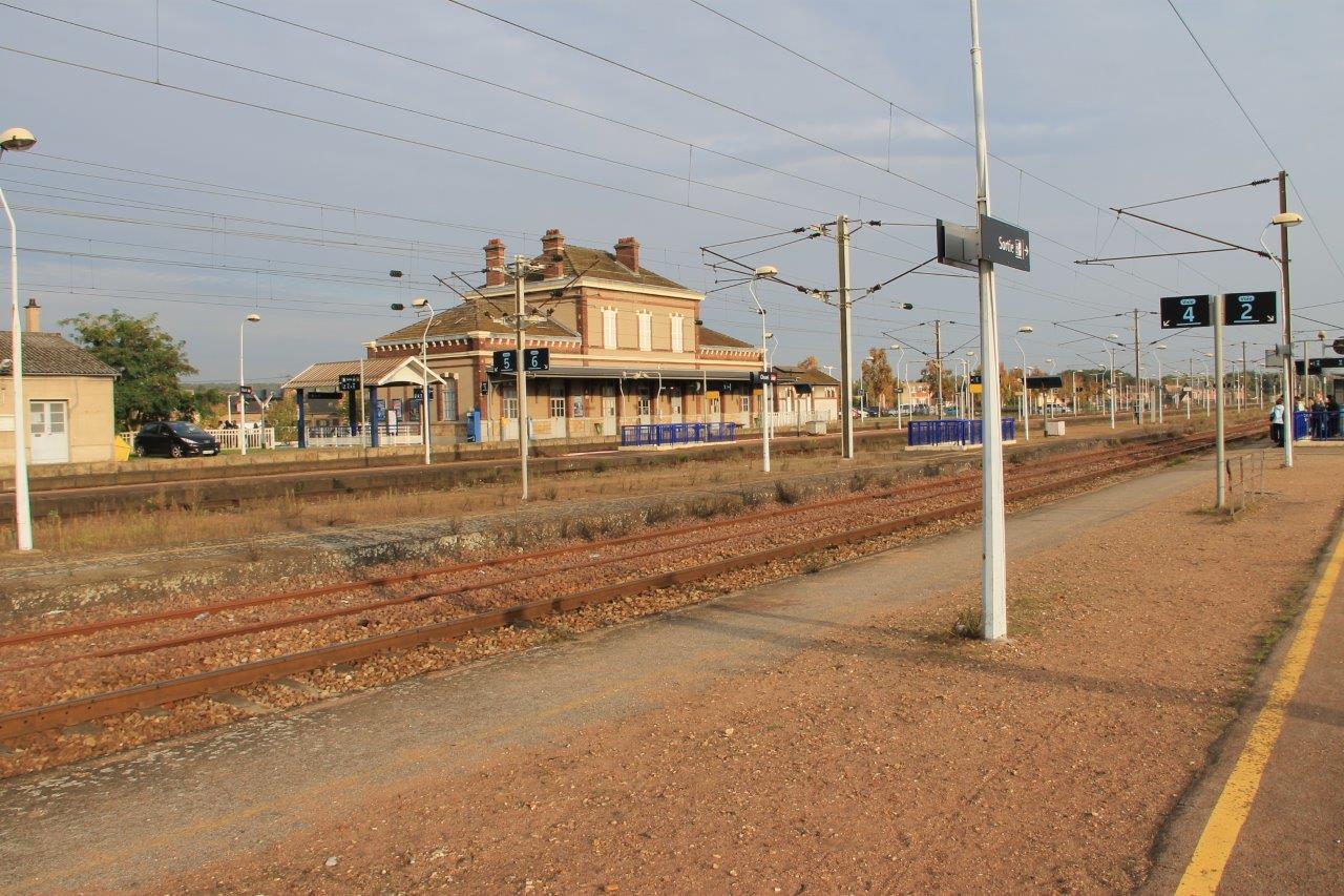
Get Directions: 0.00The train station Sotteville is a French railway station on the line: Paris-Saint-Lazare to Havre, located in the town of Sotteville-lès-Rouen, in the department: Seine-Maritime in the region: Normandie. Its latitude and longitude geographic coordinates are 49° 24′ 46″ North, 1° 06′ 09″ East with an altitude of 7 m. It is on the train line Paris-Saint-Lazare Havre and Sotteville Rouen-Rive-Gauche with 3 (plus sidings and Read more...
-
Get Directions: 0.00The train station Virville – Manneville is a French railway station on the line: Paris-Saint-Lazare to Havre, located in the town of Virville, near Manneville-la-Goupil, in the department: Seine-Maritime in the region: Normandie. Its latitude and longitude geographic coordinates are 49° 35′ 01″ North, 0° 21′ 15″ East with an altitude of 110 m. It is on the train line Paris-Saint-Lazare Havre with 2 tracks and Read more...
-
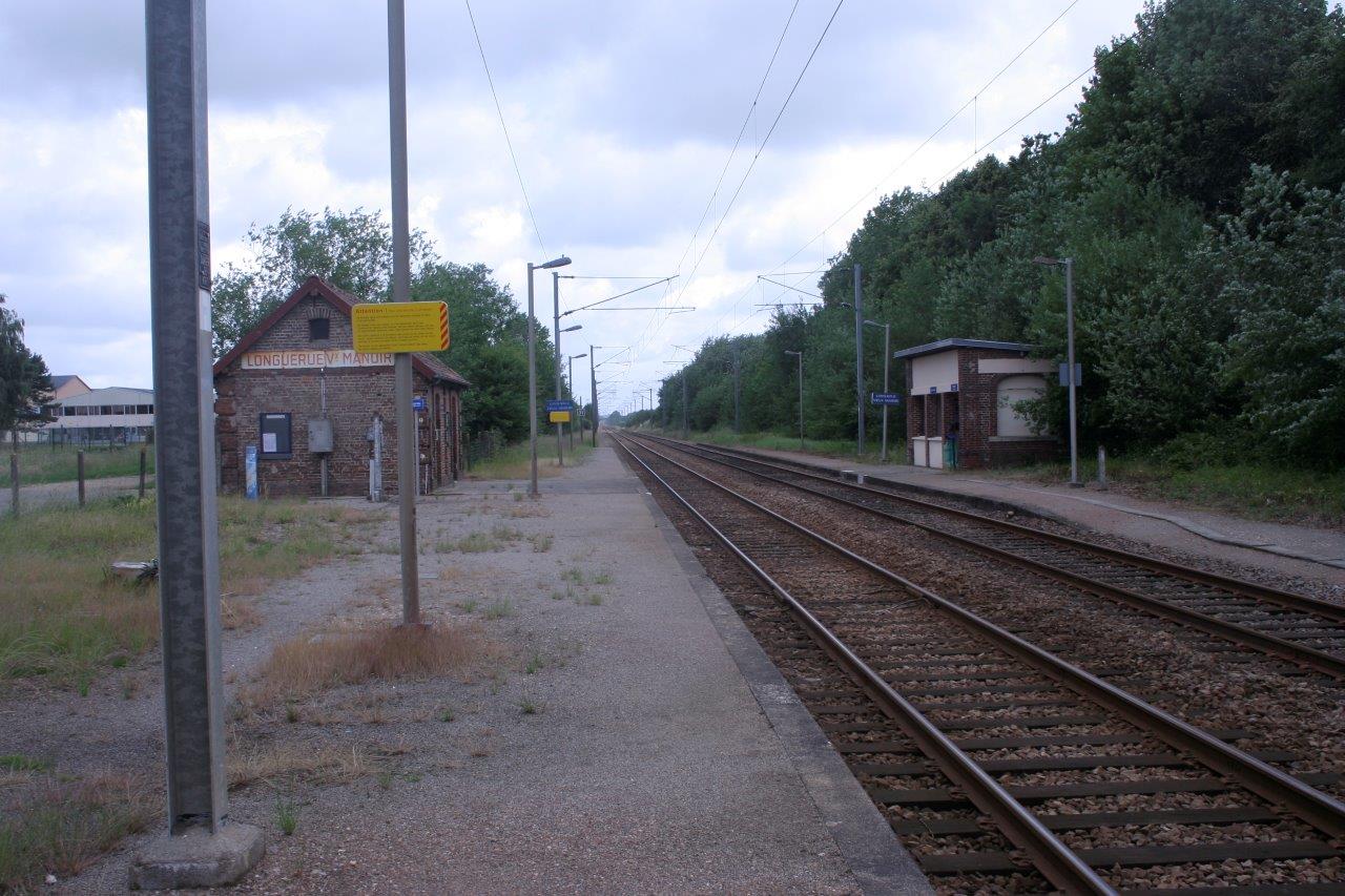
Get Directions: 0.00The train station Longuerue – Vieux-Manoir is a French railway station on the line: Saint-Roch Darnétal-Bifurcation, located in the town of Vieux-Manoir, near Longuerue, in the department: Seine-Maritime, in the region: Normandie. Its latitude and longitude geographic coordinates are 49° 33′ 24″ North, 1° 16′ 36″ East with an altitude of 173 m. It is on the train line Amiens – Rouen with 2 tracks and Read more...
-
Get Directions: 0.00The train station Val-de-Reuil is a French railway station on the line: Paris-Saint-Lazare to Havre, located in the town of Val-de-Reuil in the department: Eure in the region: Normandie. Its latitude and longitude geographic coordinates are 49° 16′ 32″ North, 1° 13′ 30″ East with an altitude of 12 m. It is on the train line Paris-Saint-Lazare Havre with 2 (plus sidings) tracks and 2 platforms Read more...
-
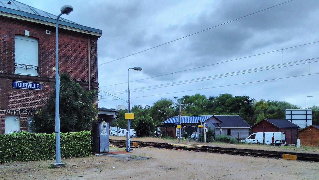
Get Directions: 0.00The train station Tourville is a French railway station on the line: Serquigny Oissel located in the town of Tourville-la-Rivière in the department: Seine-Maritime in the region: Normandie. Its latitude and longitude geographic coordinates are 49° 19′ 28″ North, 1° 05′ 54″ East with an altitude of 12 m. It is on the train line Serquigny Oissel with 2 tracks and 2 platforms serving 2 637 Read more...
-
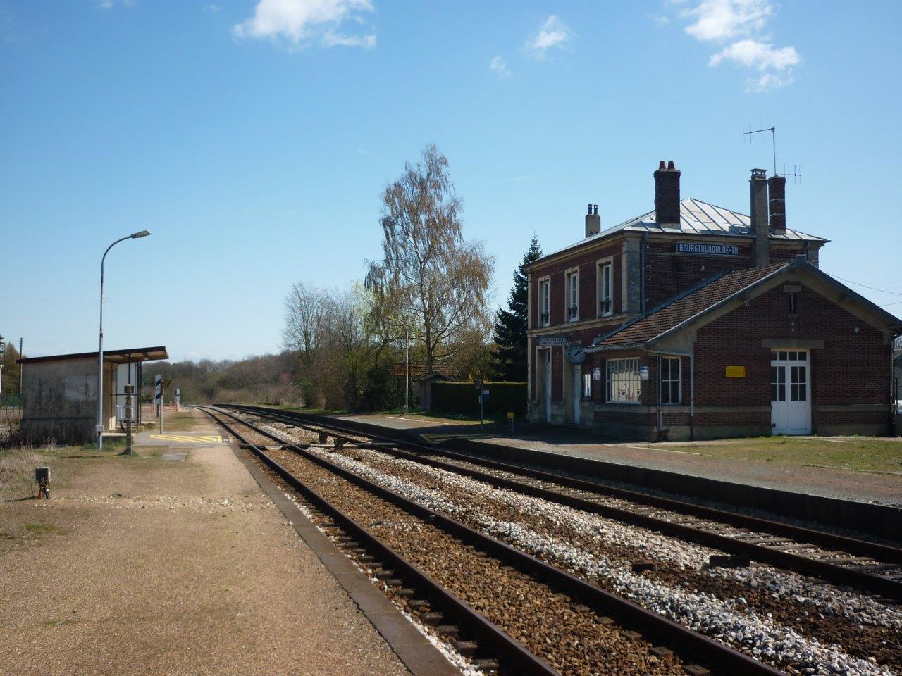
Get Directions: 0.00The train station Bourgtheroulde – Thuit-Hébert is a French railway station on the line: Serquigny Oissel located in the town of Thuit-Hébert, near Bourgtheroulde-Infreville, in the department: Eure in the region: Normandie. Its latitude and longitude geographic coordinates are 49° 19′ 03″ North, 0° 50′ 18″ East with an altitude of 120 m. It is on the train line Serquigny Oissel with 2 tracks and 2 Read more...
-
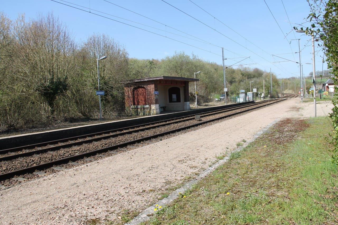
Get Directions: 0.00The train station Sommery is a French railway station on the line: Saint-Roch Darnétal-Bifurcation, located in the town of Sommery in the department: Seine-Maritime, in the region: Normandie. Its latitude and longitude geographic coordinates are 49° 37′ 46″ North, 1° 26′ 09″ East with an altitude of 181 m. It is on the train line Saint-Roch Darnétal-Bifurcation with 2 tracks and 2 platforms serving 6 006 Read more...
-
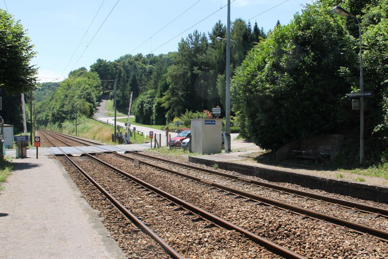
Get Directions: 0.00The train station Saint-Martin-du-Vivier is a French railway station on the line: Saint-Roch Darnétal-Bifurcation, located in the town of Saint-Martin-du-Vivier in the department: Seine-Maritime, in the region: Normandie. Its latitude and longitude geographic coordinates are 49° 28′ 14″ North, 1° 09′ 41″ East with an altitude of 67 m. It is on the train line Amiens – Rouen with 2 tracks and 2 platforms serving 9 Read more...
-
Get Directions: 0.00The train station Bretteville – Norrey is a French railway station on the line: Mantes-la-Jolie Cherbourg, located in Norrey-en-Bessin, within the territory of the town of Saint-Manvieu-Norrey, near Bretteville-l’Orgueilleuse, in the department: Calvados in the region: Normandie. Its latitude and longitude geographic coordinates are 49° 12′ 11″ North, 0° 30′ 42″ East with an altitude of 63 m. It is on the train line Mantes-la-Jolie – Read more...
-
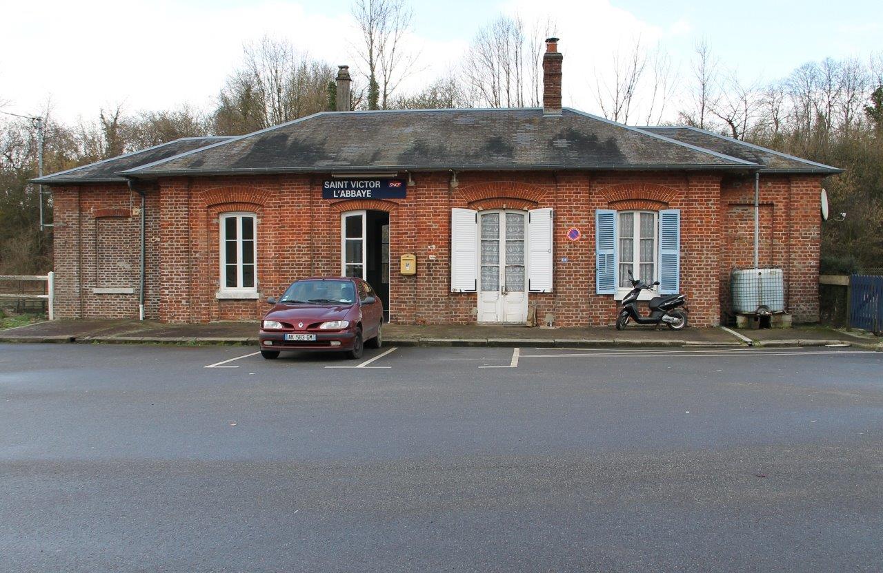
Get Directions: 0.00The train station Saint-Victor (also called the « Saint-Victor-L’Abbaye ») is a French railway station on the line: Malaunay – Le Houlme Dieppe, located on the municipality of Saint-Maclou-de-Folleville near Saint-Victor-l’Abbaye in the department: Seine-Maritime in the region: Normandie. Its latitude and longitude geographic coordinates are 49° 40′ 37″ North, 1° 06′ 35″ East with an altitude of 117 m. It is on the train line Malaunay – Read more...
-
Get Directions: 0.00The train station Saint-Laurent – Gainneville is a French railway station on the line: Paris-Saint-Lazare to Havre, located in the town of Saint-Laurent-de-Brèvedent, near Gainneville, in the department: Seine-Maritime in the region: Normandie. Its latitude and longitude geographic coordinates are 49° 31′ 43″ North, 0° 15′ 09″ East with an altitude of 106 m. It is on the train line Paris-Saint-Lazare Le Havre with 2 tracks Read more...
-
Get Directions: 0.00The train station Saint-Germain – Saint-Rémyis a French Closed railway station on the line Saint-Cyr Surdon, located in the town of Saint-Germain-sur-Avre, in the department: Eure (région Normandie), near Saint-Rémy-sur-Avre, in the department: Eure-et-Loir (région Centre-Val de Loire). Its latitude and longitude geographic coordinates are 48° 45′ 33″ North, 1° 15′ 23″ East with an altitude of 98 m. It is on the train line Saint-Cyr Read more...
-
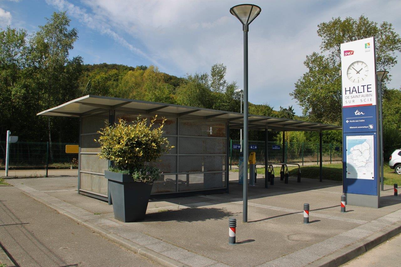
Get Directions: 0.00The train station Saint-Aubin-sur-Scie is a French railway station on the line: Malaunay – Le Houlme Dieppe, located in the town of Saint-Aubin-sur-Scie (department: Seine-Maritime). Its latitude and longitude geographic coordinates are 49° 52′ 18″ North, 1° 04′ 00″ East with an altitude of 20 m. It is on the train line Malaunay – Le Houlme Dieppe with 1 track and 1 platform serving 21 370 Read more...
-
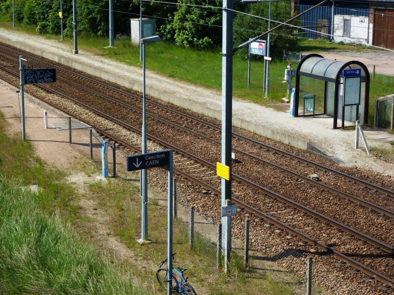
Get Directions: 0.00The train station Romilly-la-Puthenaye is a French railway station on the line: Mantes-la-Jolie Cherbourg, located in the town of Romilly-la-Puthenaye, near Collandres-Quincarnon, in the department: Eure, in the region: Normandie. Its latitude and longitude geographic coordinates are 49° 00′ 13″ North, 0° 51′ 20″ East with an altitude of 164 m. It is on the train line Mantes-la-Jolie Cherbourg with 2 tracks and 2 platforms serving Read more...
-
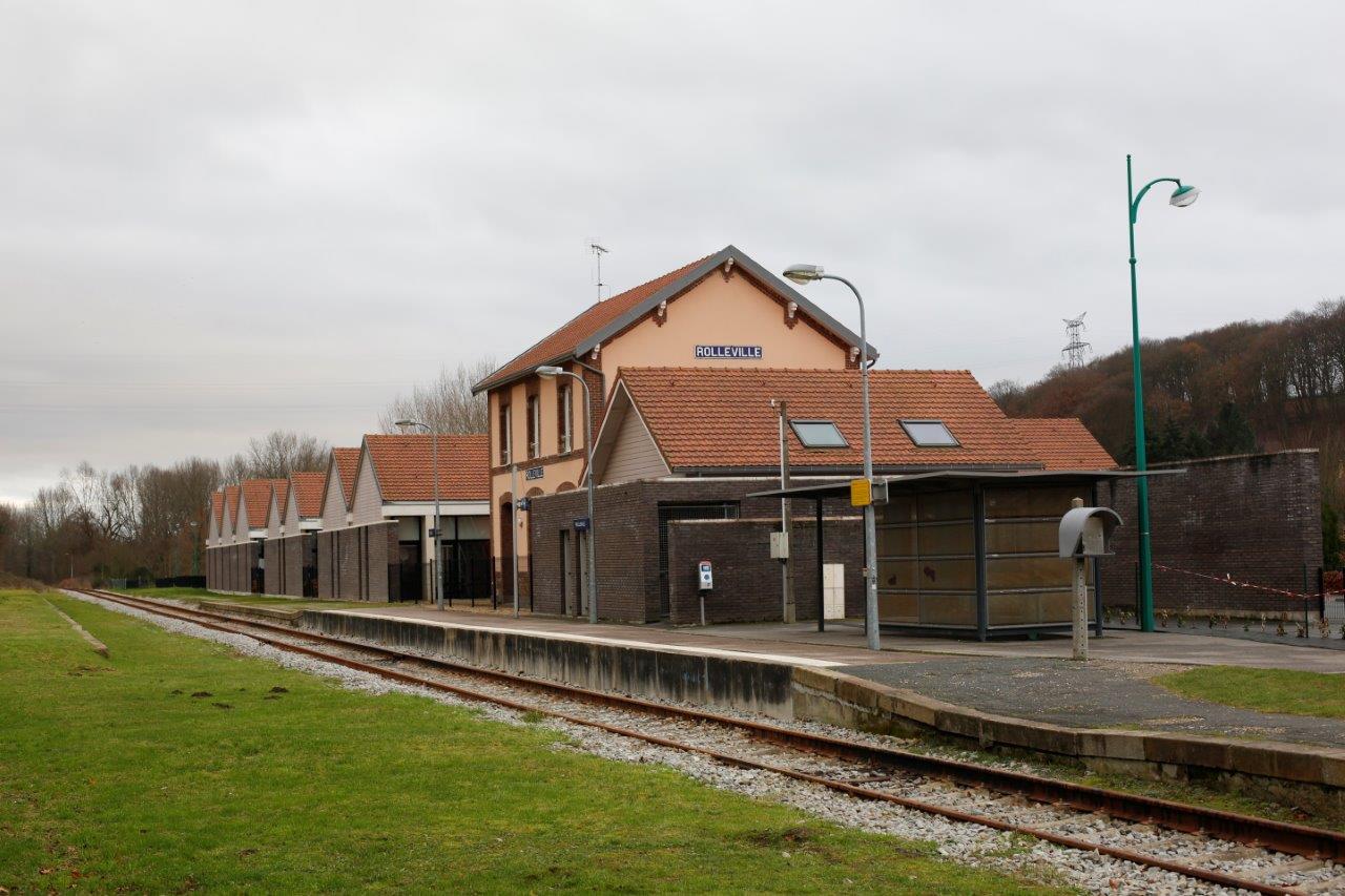
Get Directions: 0.00The train station Rolleville is a French railway station on the line: Le Havre-Graville Tourville-les-Ifs located in the town of Rolleville in the department: Seine-Maritime in the region: Normandie. Its latitude and longitude geographic coordinates are 49° 34′ 55″ North, 0° 12′ 57″ East with an altitude of 38 m. It is on the train line Le Havre-Graville Tourville-les-Ifs with 1 track and 1 platform serving Read more...
-
Get Directions: 0.00The train station Pont-Hébert is a French railway station on the line: Lison Lamballe, located in the Pont neighborhood, within the territory of the town of Rampan, near the village Pont-Hébert in the department: Manche, in the region: Normandie. Its latitude and longitude geographic coordinates are 49° 09′ 45″ North, 1° 07′ 35″ East with an altitude of 11 m. It is on the train line Read more...
-
Get Directions: 0.00The train station Pontorson – Mont-Saint-Michel is a French railway station on the line: Lison Lamballe, located in the town of Pontorson, near Mont-Saint-Michel, in the department: Manche, in the region: Normandie. Its latitude and longitude geographic coordinates are 48° 33′ 09″ North, 1° 30′ 18″ East with an altitude of 19 m. It is on the train line Lison Lamballe and Vitré Pontorson with 2 Read more...
-
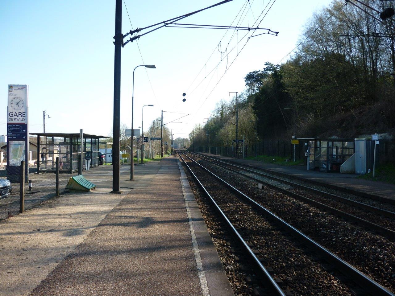
Get Directions: 0.00The train station Pavilly-Station is a French railway station on the line: Paris-Saint-Lazare to Havre, located in the town of Pavilly, in the department: Seine-Maritime in the region: Normandie. Its latitude and longitude geographic coordinates are 49° 33′ 50″ North, 0° 57′ 02″ East with an altitude of 85 m. It is on the train line Paris-Saint-Lazare Havre with 2 tracks and 2 platforms serving 229 Read more...
-
Get Directions: 0.00The train station Oissel is a French railway station on the train lines: Paris-Saint-Lazare to Havre and Serquigny Oissel, located in the town of Oissel in the department: Seine-Maritime in the region: Normandie. Its latitude and longitude geographic coordinates are 49° 20′ 35″ North, 1° 06′ 08″ East with an altitude of 13 m. It is on the train line Paris-Saint-Lazare Havre and Serquigny Oissel with Read more...
-
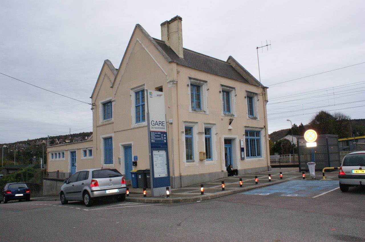
Get Directions: 0.00The train station Maromme is a French railway station on the line: Paris-Saint-Lazare to Havre, located to the East of Maromme, on the territories of the municipalities of Notre-Dame-de-Bondeville, to the North, and Déville-lès-Rouen, to the South, in the department: Seine-Maritime in the region: Normandie. Its latitude and longitude geographic coordinates are 49° 28′ 48″ North, 1° 03′ 03″ East with an altitude of 48 m. Read more...
-
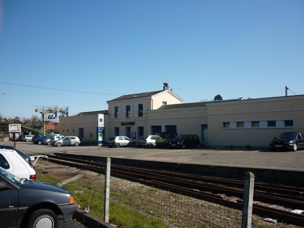
Get Directions: 0.00The train station Motteville is a French railway station on the line: Paris-Saint-Lazare to Havre, located in the town of Motteville, in the department: Seine-Maritime in the region: Normandie. Its latitude and longitude geographic coordinates are 49° 38′ 12″ North, 0° 50′ 59″ East with an altitude of 145 m. It is on the train line Paris-Saint-Lazare Havre, Montérolier – Buchy Motteville and Motteville Saint-Valery-en-Caux with Read more...
-
Get Directions: 0.00The train station Morgny is a French railway station on the line: Saint-Roch Darnétal-Bifurcation, located in the town of Morgny-la-Pommeraye in the department: Seine-Maritime, in the region: Normandie. Its latitude and longitude geographic coordinates are 49° 31′ 24″ North, 1° 14′ 52″ East with an altitude of 159 m. It is on the train line Amiens – Rouen with 2 tracks and 2 platforms serving 48 Read more...
-
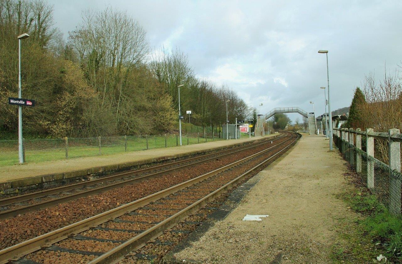
Get Directions: 0.00The train station Montville is a French railway station on the line: Malaunay – Le Houlme Dieppe, located in the area of the localities of Eslettes and Montville in the department: Seine-Maritime in the region: Normandie. Its latitude and longitude geographic coordinates are 49° 33′ 05″ North, 1° 04′ 12″ East with an altitude of 82 m. It is on the train line Malaunay – Le Read more...
-
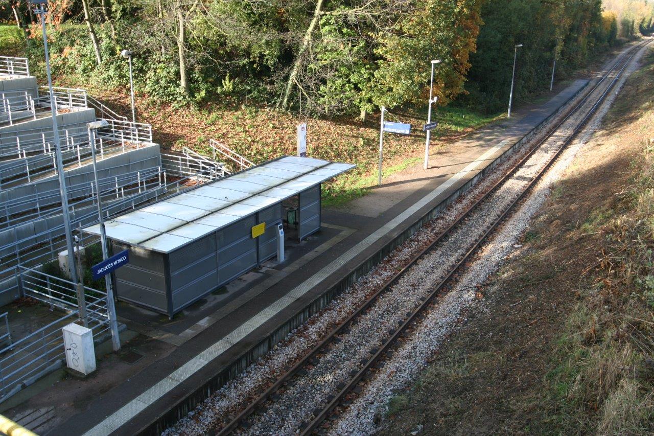
Get Directions: 0.00The train station Jacques-Monod-la Demi-Lieue is a French railway station on the line: Le Havre-Graville Tourville-les-Ifs located in the town of Montivilliers in the department: Seine-Maritime, in the region: Normandie. It is in zone: Urbaine. Its latitude and longitude geographic coordinates are 49° 31′ 57″ North, 0° 11′ 02″ East with an altitude of 6 m. It is on the train line Le Havre-Graville Tourville-les Ifs Read more...
-
Get Directions: 0.00The train station Montivilliers is a French railway station on the line: Le Havre-Graville Tourville-les-Ifs located in the town of Montivilliers in the department: Seine-Maritime in the region: Normandie. It is in zone: Urbaine. Its latitude and longitude geographic coordinates are 49° 32′ 35″ North, 0° 11′ 22″ East with an altitude of 7 m. It is on the train line Le Havre-Graville Tourville-les-Ifs with 1 Read more...
-
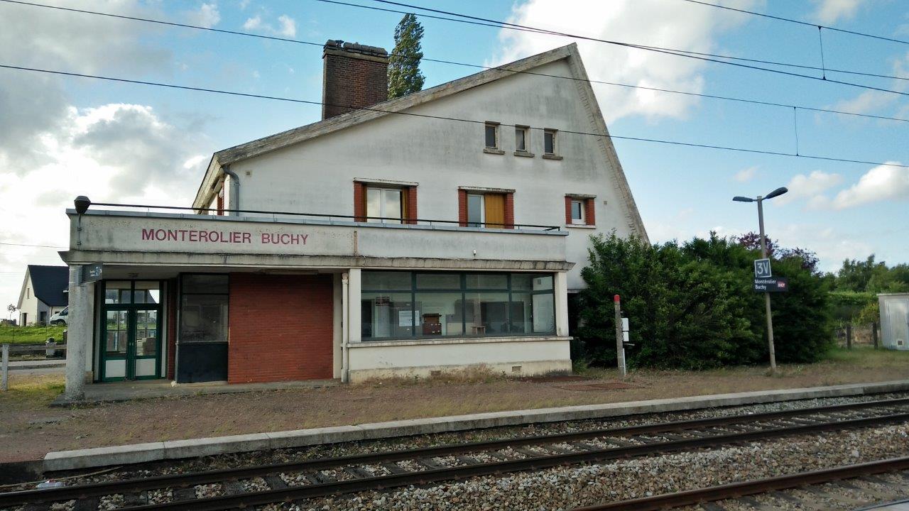
Get Directions: 0.00The train station Montérolier – Buchy is a French railway station on the train lines Saint-Roch Darnétal-Bifurcation and Montérolier – Buchy Motteville. It is located in the town of Montérolier near Buchy in the department: Seine-Maritime in the region: Normandie. Its latitude and longitude geographic coordinates are 49° 36′ 11″ North, 1° 20′ 06″ East with an altitude of 193 m. It is on the train Read more...
-
Get Directions: 0.00The train station Mézidon is a French railway station located on the former municipality of Mézidon-Canon, integrated with Mézidon Vallée d’Auge, in the department: Calvados, in the region: Normandie. Its latitude and longitude geographic coordinates are 49° 04′ 15″ North, 0° 04′ 30″ East with an altitude of 26 m. It is on the train line Mantes-la-Jolie Cherbourg, Le Mans Mézidon and Mézidon Trouville-Deauville with 4 Read more...
-
Get Directions: 0.00The train station Longueville-sur-Scie is a French railway station on the line: Malaunay – Le Houlme Dieppe, located in the town of Longueville-sur-Scie, in the department: Seine-Maritime in the region: Normandie. Its latitude and longitude geographic coordinates are 49° 47′ 30″ North, 1° 06′ 38″ East with an altitude of 63 m. It is on the train line Malaunay – Le Houlme Dieppe with 2 tracks Read more...
-
Get Directions: 0.00The train station Longroy – Gamaches is a French railway station on the line: Épinay – Villetaneuse to Tréport – Mers, located in the town of Longroy, in the department: Seine-Maritime, in the region: Normandie. It is near Gamaches municipality of the department: Somme in the region: Hauts-de-France. Its latitude and longitude geographic coordinates are 49° 58′ 55″ North, 1° 33′ 10″ East with an altitude Read more...
-
Get Directions: 0.00The train station Lison is a French railway station, located in the town of Sainte-Marguerite-d’Elle (département du Calvados) et sur celui de Moon-sur-Elle (department: Manche), near Lison (département du Calvados) to nord de la ligne. Its latitude and longitude geographic coordinates are 49° 13′ 37″ North, 1° 03′ 01″ East with an altitude of 7 m. It is on the train line Mantes-la-Jolie Cherbourg and Lison Read more...
