-
Get Directions: 0.00The train station Viviez-Decazeville is a French railway station located in the town of Viviez, et near Decazeville, in the department: Aveyron, in the region: Occitanie. Its latitude and longitude geographic coordinates are 44° 33′ 20″ North, 2° 13′ 07″ East with an altitude of 197 m. It is on the train line Capdenac Rodez with 2 tracks and 2 platforms. Read more...
-
Get Directions: 0.00The train station Cordes – Vindrac is a French railway station on the line: Brive-la-Gaillarde Toulouse-Matabiau via Capdenac, located in the town of Vindrac-Alayrac, near Cordes-sur-Ciel, in the department: Tarn in the region: Occitanie. Its latitude and longitude geographic coordinates are 44° 04′ 01″ North, 1° 53′ 59″ East with an altitude of 172 m. It is on the train line Brive-la-Gaillarde Toulouse-Matabiau via Capdenac and Read more...
-
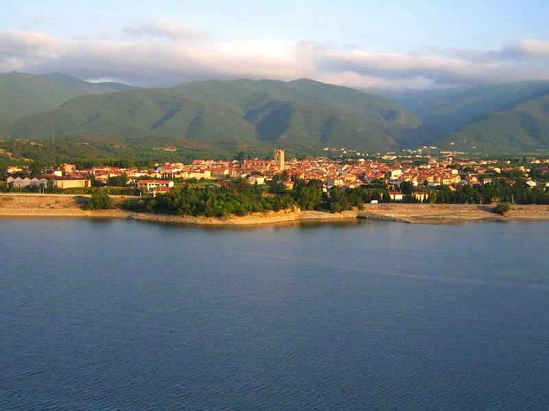
Get Directions: 0.00The train station Vinça is a French railway station on the line: Perpignan Villefranche – Vernet-les-Bains, located in the town of Vinça, in the department: Pyrénées-Orientales in the region: Occitanie. Its latitude and longitude geographic coordinates are 42° 38′ 53″ North, 2° 31′ 40″ East with an altitude of 247 m. It is on the train line Perpignan Villefranche – Vernet-les-Bains with 2 tracks and 1 Read more...
-
Get Directions: 0.00The train station Villenouvelle is a French railway station on the line Bordeaux-Saint-Jean Sète-Ville, located near downtown Villenouvelle, in the department: Haute-Garonne in the region: Midi-Pyrénées. Its latitude and longitude geographic coordinates are 43° 26′ 00″ North, 1° 39′ 38″ East with an altitude of 167 m. It is on the train line Bordeaux-Saint-Jean Sète-Ville with 2 (plus sidings) tracks and 2 platforms serving 17 751 passengers Read more...
-
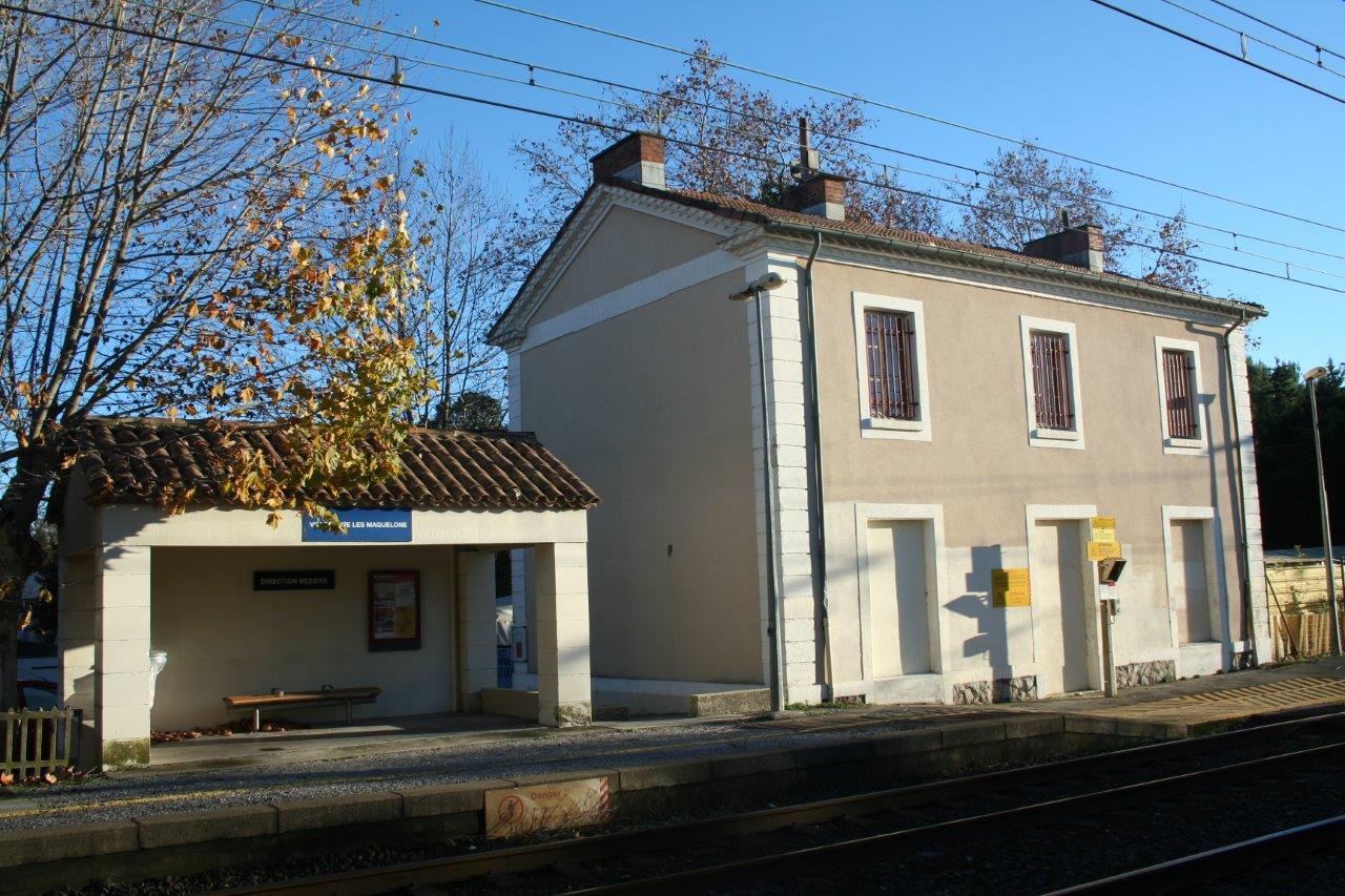
Get Directions: 0.00The train station Villeneuve-lès-Maguelone is a French railway station on the line: Tarascon Sète-Ville, located in the town of Villeneuve-lès-Maguelone, in the department: Hérault in the region: Occitanie. Its latitude and longitude geographic coordinates are 43° 32′ 37″ North, 3° 50′ 59″ East with an altitude of 7 m. It is on the train line Tarascon Sète-Ville with 2 tracks and 2 platforms. Read more...
-
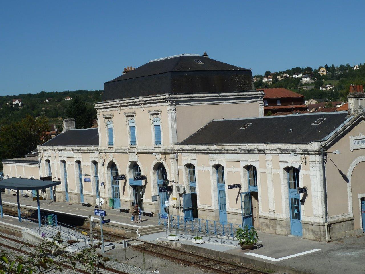
Get Directions: 0.00The train station Villefranche-de-Rouergue is a French railway station on the line: Brive-la-Gaillarde Toulouse-Matabiau via Capdenac, located in the town of Villefranche-de-Rouergue in the department: Aveyron in the region: Occitanie. Its latitude and longitude geographic coordinates are 44° 20′ 50″ North, 2° 02′ 10″ East with an altitude of 254 m. It is on the train line Brive-la-Gaillarde Toulouse-Matabiau via Capdenac with 3 (plus sidings) tracks Read more...
-
Get Directions: 0.00The train station Villefort is a French railway station on the line: Saint-Germain-des-Fossés Nîmes-Courbessac (also called Ligne des Cévennes), located in the town of Villefort, in the department: Lozère in the region: Occitanie. Its latitude and longitude geographic coordinates are 44° 26′ 22″ North, 3° 55′ 26″ East with an altitude of 606 m. It is on the train line Saint-Germain-des-Fossés – Nîmes-Courbessac with 2 (plus Read more...
-
Get Directions: 0.00The train station Villefranche-de-Lauragais is a French railway station on the line Bordeaux-Saint-Jean Sète-Ville, located near downtown Villefranche de Lauragais, in the department: Haute-Garonne in the region: Midi-Pyrénées. Its latitude and longitude geographic coordinates are 43° 23′ 54″ North, 1° 42′ 52″ East with an altitude of 176 m. It is on the train line Bordeaux-Saint-Jean Sète-Ville with 2 (plus sidings) tracks and 2 platforms serving Read more...
-
Get Directions: 0.00The train station Vielmur-sur-Agout is a French railway station on the line: Montauban-Ville-Bourbon La Crémade, located in the town of Vielmur-sur-Agout, in the department: Tarn in the region: Occitanie. Its latitude and longitude geographic coordinates are 43° 37′ 27″ North, 2° 05′ 22″ East with an altitude of 155 m. It is on the train line Montauban-Ville-Bourbon – La Crémade with 2 tracks and 2 platforms Read more...
-
Get Directions: 0.00The train station Vergèze – Codognan is a French railway station on the line: Tarascon Sète-Ville, located in the town of Vergèze, near Codognan, in the department: Gard in the region: Occitanie. Its latitude and longitude geographic coordinates are 43° 44′ 23″ North, 4° 13′ 08″ East with an altitude of 23 m. It is on the train line Tarascon Sète-Ville with 2 tracks and 2 Read more...
-
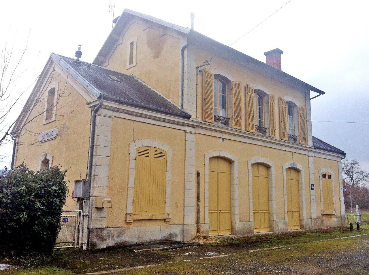
Get Directions: 0.00The train station Vayrac is a French railway station on the line Souillac Viescamp-sous-Jallès, located near the center of the town of Vayrac, in the department: Lot, in the region: Occitanie. Its latitude and longitude geographic coordinates are 44° 57′ 01″ North, 1° 42′ 23″ East with an altitude of 122 m. It is on the train line Souillac Viescamp-sous-Jallès with 1 track and 1 platform. Read more...
-
Get Directions: 0.00The train station Varilhes is a French railway station on the line: Portet-Saint-Simon Puigcerda (border), located in the town of Varilhes, in the department: Ariège, in the region: Occitanie. Its latitude and longitude geographic coordinates are 43° 02′ 29″ North, 1° 37′ 42″ East with an altitude of 339 m. It is on the train line Portet-St-Simon Puigcerda (border) with 2 tracks and 2 platforms serving Read more...
-
Get Directions: 0.00The train station Lexos is a French railway station on the line Brive-la-Gaillarde Toulouse-Matabiau via Capdenac, located in Lexos within the territory of the town of Varen, in the department: Tarn-et-Garonne, in the region: Occitanie. Its latitude and longitude geographic coordinates are 44° 08′ 32″ North, 1° 53′ 06″ East with an altitude of 139 m. It is on the train line Brive-la-Gaillarde Toulouse-Matabiau via Capdenac Read more...
-
Get Directions: 0.00The train station Valergues – Lansargues is a French railway station on the line: Tarascon Sète-Ville, located in the town of Valergues, near Lansargues, in the department: Hérault in the region: Occitanie. Its latitude and longitude geographic coordinates are 43° 40′ 22″ North, 4° 03′ 37″ East with an altitude of 18 m. It is on the train line Tarascon Sète-Ville with 2 tracks and 2 Read more...
-
Get Directions: 0.00The train station Valence-d’Agen is a French railway station on the line: Bordeaux-Saint-Jean Sète-Ville located in the town of Valence-d’Agen, in the department: Tarn-et-Garonne, in the region: Occitanie. Its latitude and longitude geographic coordinates are 44° 06′ 42″ North, 0° 53′ 30″ East with an altitude of 69 m. It is on the train line Bordeaux-Saint-Jean Sète-Ville with 2 tracks and 2 platforms serving 62 764 passengers Read more...
-
Get Directions: 0.00The train station Tournemire – Roquefort is a French railway station on the line: Béziers Neussargues, located in the village center within the territory of the town of Tournemire, near Roquefort-sur-Soulzon, in the department: Aveyron, in the region: Occitanie. Its latitude and longitude geographic coordinates are 43° 58′ 11″ North, 3° 01′ 00″ East with an altitude of 497 m. It is on the train line Read more...
-
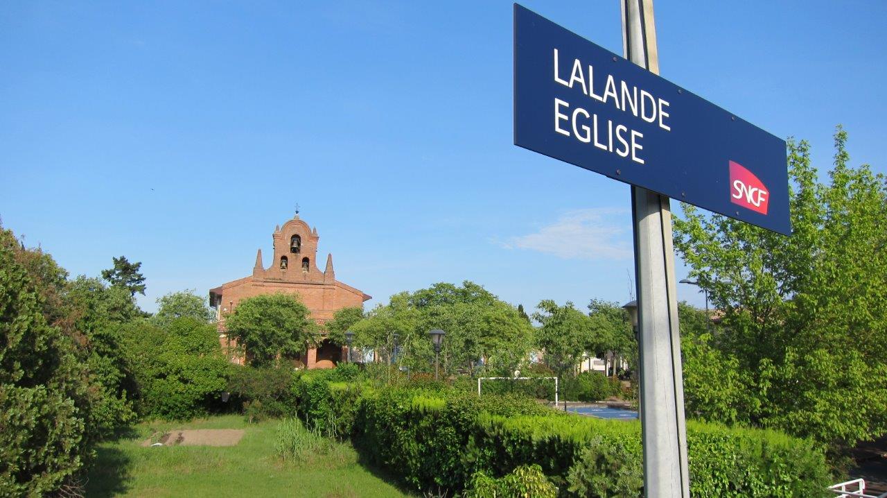
Get Directions: 0.00The train station Lalande-Église is a French railway station on the line Bordeaux-Saint-Jean Sète-Ville, located in the city of Toulouse, in the Lalande neighborhood, near the Church, in the department: Haute-Garonne in the region: Occitanie. Its latitude and longitude geographic coordinates are 43° 38′ 45″ North, 1° 25′ 43″ East with an altitude of 137 m. It is on the train line Bordeaux-Saint-Jean Sète-Ville with 3 Read more...
-
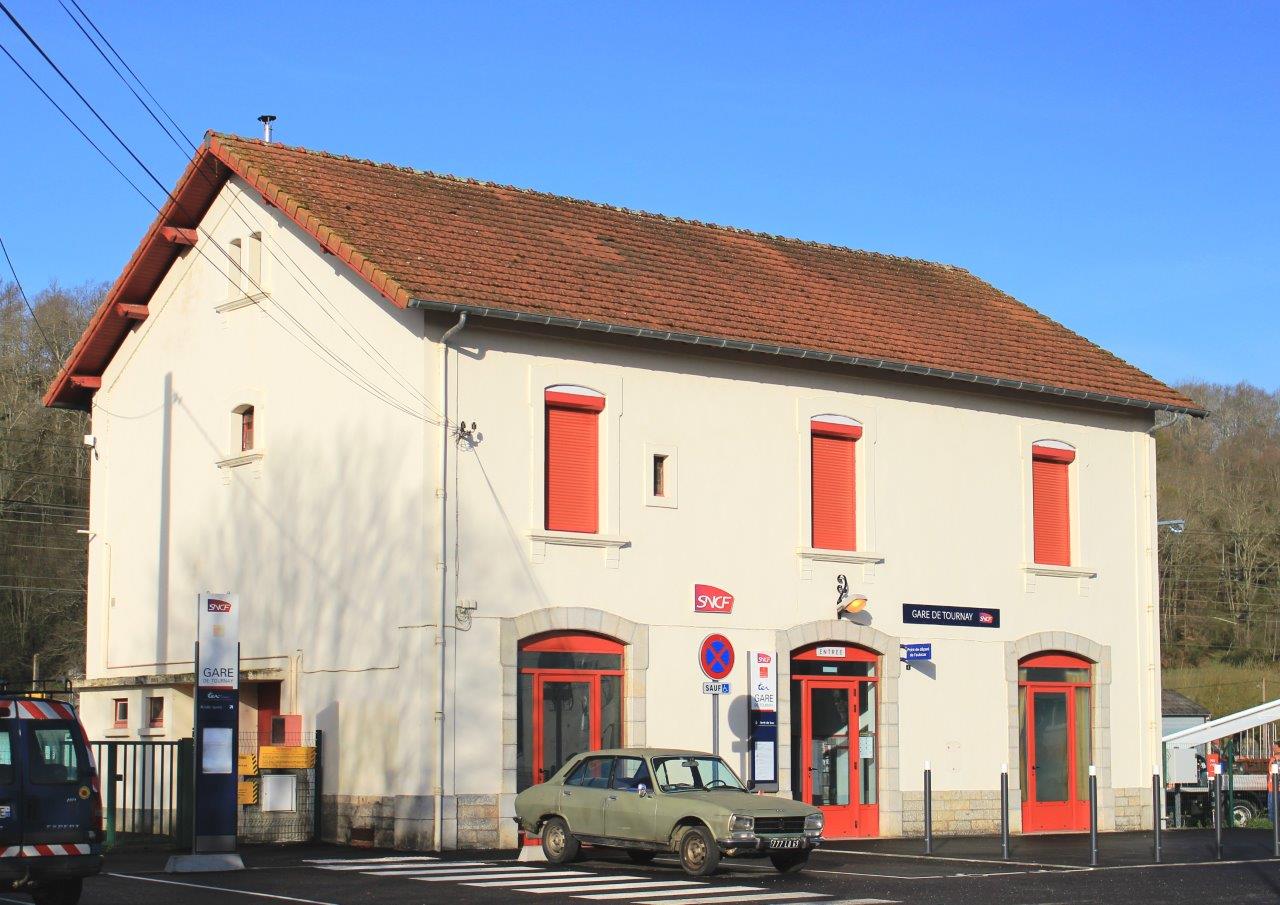
Get Directions: 0.00The train station Tournay ( prononcer « Tournaï ») et nommée officiellement Tournay (Hautes-Pyrénées) is a French railway station on the line: Toulouse Bayonne, located in the town of Tournay, in the department: Hautes-Pyrénées, in the region: Occitanie. Its latitude and longitude geographic coordinates are 43° 11′ 01″ North, 0° 14′ 20″ East with an altitude of 261 m. It is on the train line Toulouse Bayonne with Read more...
-
Get Directions: 0.00The train station Toulouse-Saint-Agne (dite gare de Sainte-Agne) is a French railway station on the train lines: Toulouse Bayonne and Saint-Agne Auch. It is located at Saint-Agne, a working-class and residential neighborhood in the city of Toulouse, in the department: Haute-Garonne, in the region: Occitanie. Its latitude and longitude geographic coordinates are 43° 34′ 47″ North, 1° 27′ 01″ East with an altitude of 145 m. Read more...
-
Get Directions: 0.00The train station Lacourtensourt is a French railway station on the line Bordeaux-Saint-Jean Sète-Ville, located in the town of Toulouse, near the town of Aucamville in the department: Haute-Garonne in the region: Occitanie. Its latitude and longitude geographic coordinates are 43° 39′ 50″ North, 1° 24′ 50″ East with an altitude of 127 m. It is on the train line Bordeaux-Saint-Jean Sète-Ville with 3 tracks and Read more...
-
Get Directions: 0.00The train station Le TOEC (also called the station Le TOEC), is a French station on the line Saint-Agne Auch, located in TOEC a neighborhood of the city of Toulouse, in the department: Haute-Garonne in the region: Occitanie. Its latitude and longitude geographic coordinates are 43° 35′ 44″ North, 1° 24′ 05″ East with an altitude of 152 m. It is on the train line Saint-Agne Read more...
-
Get Directions: 0.00The train station Toulouse-Saint-Cyprien-Arènes (formerly Toulouse-Saint-Cyprien) is a French railway station on the line: Saint-Agne Auch, located in Arènes, a neighborhood of the city of Toulouse, in the department: Haute-Garonne, in the region: Occitanie. Its latitude and longitude geographic coordinates are 43° 35′ 36″ North, 1° 25′ 07″ East with an altitude of 140 m. It is on the train line Saint-Agne Auch with 5 (including Read more...
-
Get Directions: 0.00The train station Saint-Martin-du-Touch (also called the station Saint-Martin-du-Touch), is a French station on the line Saint-Agne Auch, located in Saint-Martin-du-Touch, a neighborhood of the city of Toulouse, in the department: Haute-Garonne, in the region: Occitanie. Its latitude and longitude geographic coordinates are 43° 35′ 59″ North, 1° 22′ 18″ East with an altitude of 146 m. It is on the train line Saint-Agne Auch with Read more...
-
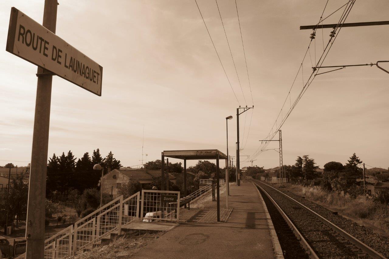
Get Directions: 0.00The train station Route-de-Launaguet is a French railway station on the line Bordeaux-Saint-Jean Sète-Ville, located near the Route de Launaguet, sur le territoire de la ville de Toulouse, in the department: Haute-Garonne, in the region: Occitanie. Its latitude and longitude geographic coordinates are 43° 38′ 06″ North, 1° 26′ 24″ East with an altitude of 139 m. It is on the train line Bordeaux-Saint-Jean Sète-Ville with Read more...
-
Get Directions: 0.00The train station Lardenne (also called the station Lardenne), is a French station on the line Saint-Agne Auch, located in Lardenne, a neighborhood of the city of Toulouse, in the department: Haute-Garonne in the region: Occitanie. Its latitude and longitude geographic coordinates are 43° 35′ 48″ North, 1° 23′ 03″ East with an altitude of 153 m. It is on the train line Saint-Agne Auch with Read more...
-
Get Directions: 0.00The train station Montaudran is a French railway station on the line: Bordeaux-Saint-Jean Sète-Ville, in the Montaudran neighborhood, on the territory of the city of Toulouse, in the department: Haute-Garonne, in the region: Occitanie. Its latitude and longitude geographic coordinates are 43° 34′ 26″ North, 1° 28′ 48″ East with an altitude of 152 m. It is on the train line Bordeaux-Saint-Jean Sète-Ville with 2 (plus Read more...
-
Get Directions: 0.00The train station Tanus is a French railway station on the line: Castelnaudary Rodez, located in the town of Tanus, in the department: Tarn, in the region: Occitanie. Its latitude and longitude geographic coordinates are 44° 06′ 01″ North, 2° 18′ 55″ East with an altitude of 441 m. It is on the train line Castelnaudary Rodez with 2 tracks and 2 platforms. Read more...
-
Get Directions: 0.00The train station Sévérac-le-Château, sometimes called Sévérac d’Aveyron rail station, is a French railway station on the line: Béziers Neussargues (also called the ligne des Causses), located in downtown Sévérac-le-Château, within the territory of the town of Sévérac d’Aveyron, in the department: Aveyron, in the region: Occitanie. Its latitude and longitude geographic coordinates are 44° 19′ 29″ North, 3° 03′ 25″ East with an altitude of Read more...
-
Get Directions: 0.00The train station Salses is a French railway station on the line: Narbonne Port-Bou (border), located in the town of Salses-le-Château, near the center, in the department: Pyrénées-Orientales in the region: Occitanie. Its latitude and longitude geographic coordinates are 42° 50′ 08″ North, 2° 55′ 03″ East with an altitude of 12 m. It is on the train line Narbonne Port-Bou (border) with 2 tracks and Read more...
-
Get Directions: 0.00The train station Salles-Courbatiès is a French railway station on the line Brive-la-Gaillarde Toulouse-Matabiau via Capdenac, located in the town of Salles-Courbatiès, in the department: Aveyron, in the region: Occitanie. Its latitude and longitude geographic coordinates are 44° 28′ 31″ North, 2° 04′ 44″ East with an altitude of 298 m. It is on the train line with 2 tracks and 2 platforms. Read more...
