-
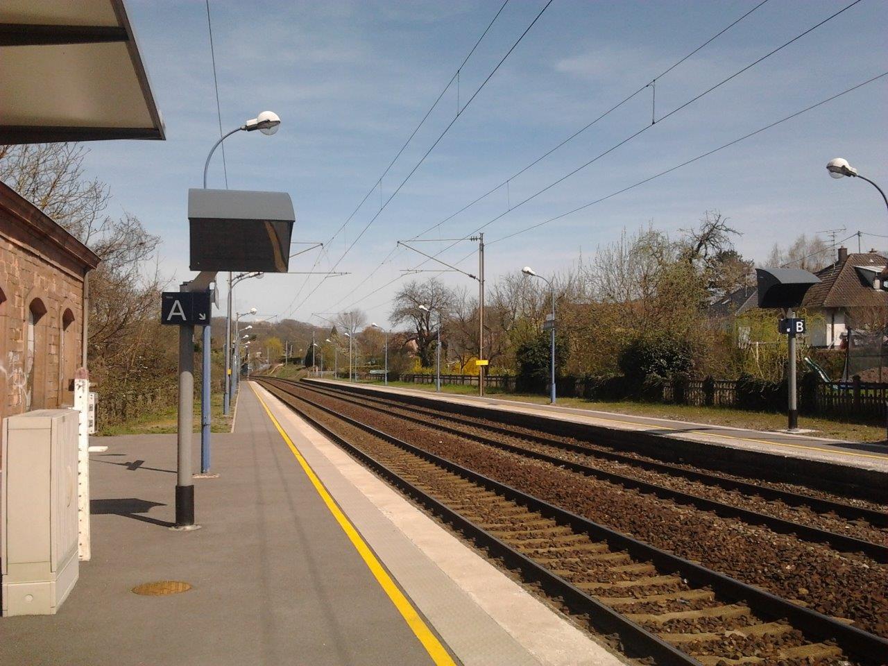
Get Directions: 0.00The train station Zillisheim is a French station on the line Paris-Est Mulhouse-Ville, located in the town of Zillisheim, near the center of the village, in the department: Haut-Rhin in the region: Grand Est. Its latitude and longitude geographic coordinates are 47° 41′ 40″ North, 7° 17′ 40″ East with an altitude of 261 m. It is on the train line Paris-Est – Mulhouse-Ville with 2 Read more...
-
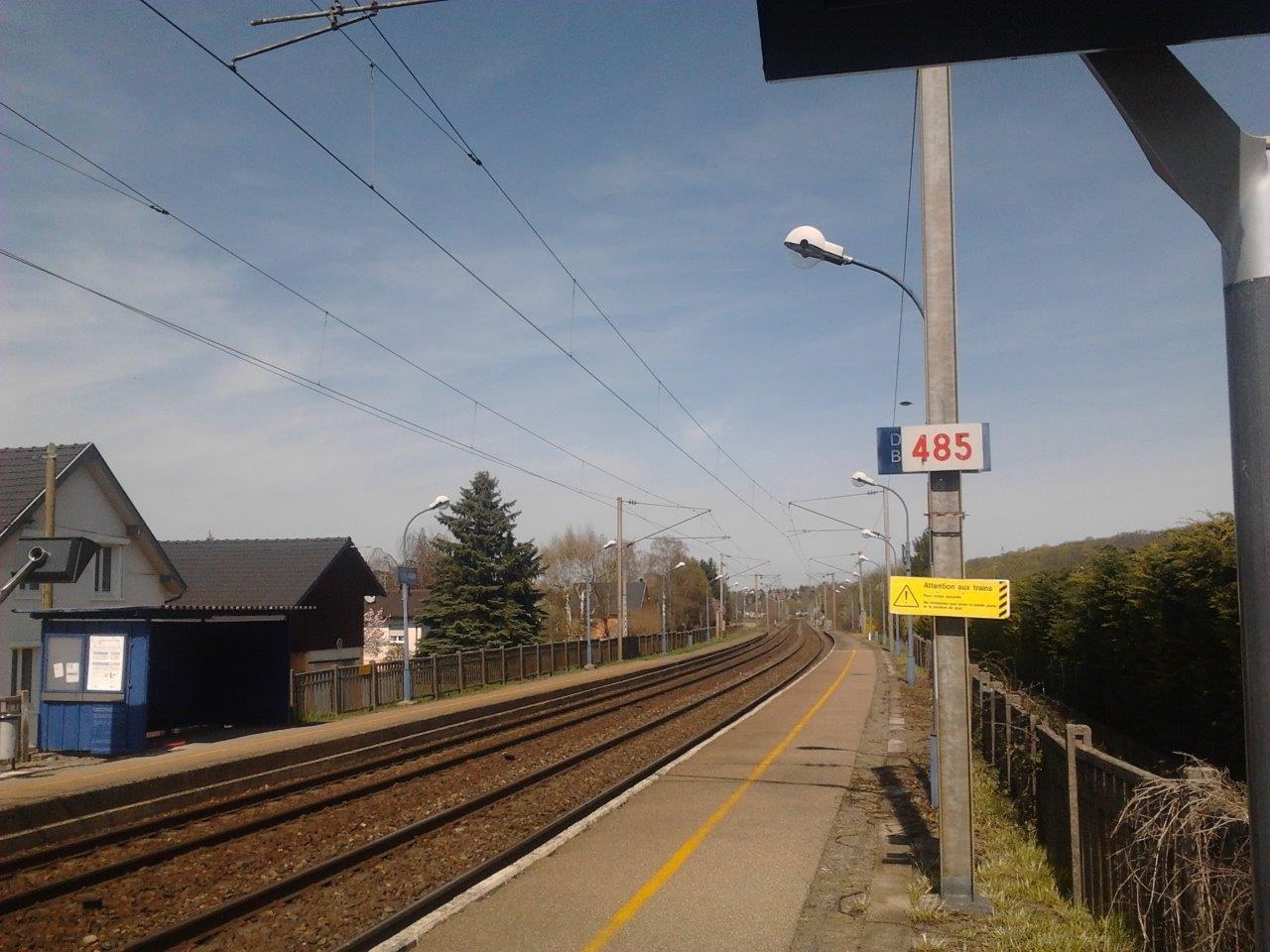
Get Directions: 0.00The train station Flaxlanden is a French railway station on the line: Paris-Est Mulhouse-Ville, located in the town of Zillisheim, in the department: Haut-Rhin in the region: Grand Est. Its latitude and longitude geographic coordinates are 47° 41′ 56″ North, 7° 18′ 17″ East with an altitude of 255 m. It is on the train line Paris-Est – Mulhouse-Ville with 2 tracks and 2 platforms. Read more...
-
Get Directions: 0.00The train station Zetting is a French railway station on the line: Mommenheim Sarreguemines, located in the town of Zetting, in the department: Moselle in the region: Grand Est. Its latitude and longitude geographic coordinates are 49° 04′ 41″ North, 7° 08′ 04″ East with an altitude of 216 m. It is on the train line Mommenheim Sarreguemines with 2 tracks and 2 platforms. Read more...
-
Get Directions: 0.00The train station Yutz is a French railway station on the line: Thionville Anzeling located in the town of Yutz in the department: Moselle, in the region: Grand Est. Its latitude and longitude geographic coordinates are 49° 21′ 41″ North, 6° 12′ 34″ East with an altitude of 156 m. It is on the train line Thionville Anzeling with 2 tracks and 2 platforms. Read more...
-
Get Directions: 0.00The train station Xeuilley is a French railway station located in the town of Xeuilley in the department: Meurthe-et-Moselle. Its latitude and longitude geographic coordinates are 48° 34′ 11″ North, 6° 06′ 08″ East. It is on the train line Jarville-la-Malgrange – Mirecourt with 2 tracks and 2 platforms. Read more...
-
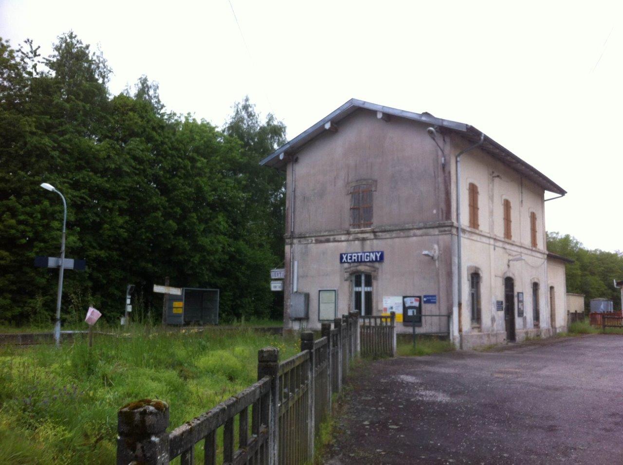
Get Directions: 0.00The train station Xertigny is a French railway station on the line: Blainville – Damelevières Lure, located in a place called « La Gare » within the territory of the town of Xertigny, in the department: Vosges in the region: Lorraine. Its latitude and longitude geographic coordinates are 48° 03′ 11″ North, 6° 22′ 36″ East with an altitude of 430 m. It is on the train line Read more...
-
Get Directions: 0.00The train station Wittring is a French railway station on the line: Mommenheim Sarreguemines, located in the town of Wittring in the department: Moselle in the region: Grand Est. Its latitude and longitude geographic coordinates are 49° 03′ 21″ North, 7° 08′ 27″ East with an altitude of 218 m. It is on the train line Mommenheim Sarreguemines with 2 tracks and 2 platforms. Read more...
-
Get Directions: 0.00The train station Wissembourg is a French railway station on the line: Vendenheim Wissembourg, located in the town of Wissembourg in the department: Bas-Rhin in the region: Grand Est. Its latitude and longitude geographic coordinates are 49° 01′ 54″ North, 7° 57′ 00″ East with an altitude of 159 m. It is on the train line Vendenheim Wissembourg, Winden (Pfalz) Kapsweyer Grenze and Wissembourg Lauterbourg-Gare with Read more...
-
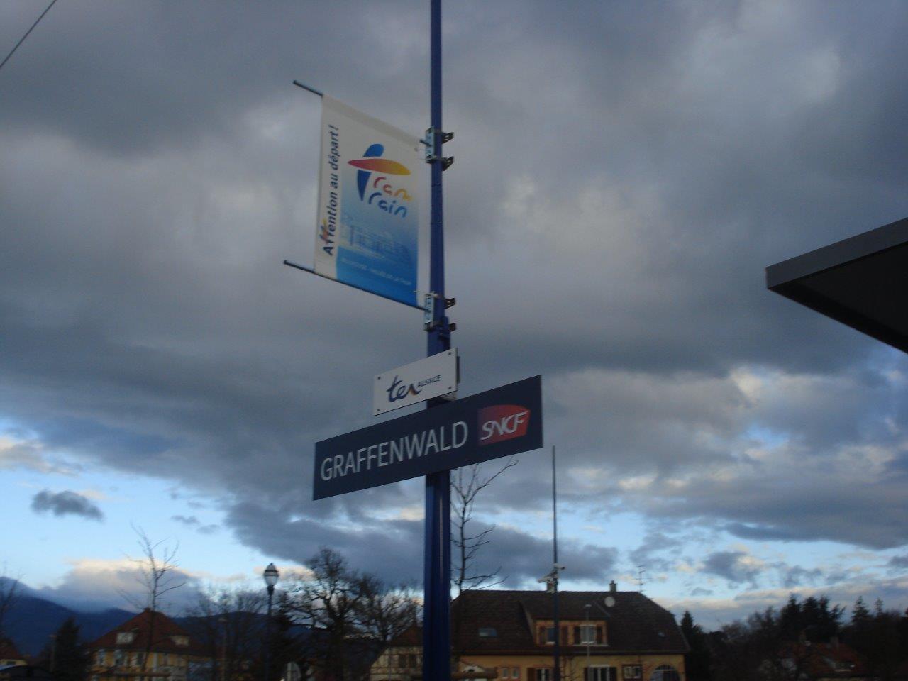
Get Directions: 0.00The train station Graffenwald is a French railway station on the line: Lutterbach Kruth, located in the town of Wittelsheim in the department: Haut-Rhin, in the region: Grand Est. Its latitude and longitude geographic coordinates are 47° 46′ 52″ North, 7° 13′ 28″ East with an altitude of 273 m. It is on the train line Lutterbach – Kruth with 1 track and 1 platform. Read more...
-
Get Directions: 0.00The train station Wisches is a French railway station on the line: Strasbourg-Ville Saint-Dié, located in the town of Wisches, in the department: Bas-Rhin in the region: Grand Est. Its latitude and longitude geographic coordinates are 48° 30′ 27″ North, 7° 16′ 12″ East with an altitude of 271 m. It is on the train line Strasbourg-Ville Saint-Dié with 2 tracks and 2 platforms serving 118 Read more...
-
Get Directions: 0.00The train station Wingen-sur-Moder is a French railway station on the line: Mommenheim Sarreguemines, located in the town of Wingen-sur-Moder, in the department: Bas-Rhin, en Grand Est, dans la région Grand Est. Its latitude and longitude geographic coordinates are 48° 55′ 12″ North, 7° 22′ 50″ East with an altitude of 231 m. It is on the train line Mommenheim Sarreguemines and Wingen-sur-Moder Saint-Louis-lès-Bitche et border Read more...
-
Get Directions: 0.00The train station Willer-sur-Thur is a French railway station on the line: Lutterbach Kruth located in the town of Willer-sur-Thur in the department: Haut-Rhin, in the region: Grand Est. Its latitude and longitude geographic coordinates are 47° 50′ 35″ North, 7° 04′ 08″ East with an altitude of 372 m. It is on the train line Lutterbach – Kruth with 2 tracks and 2 platforms. Read more...
-
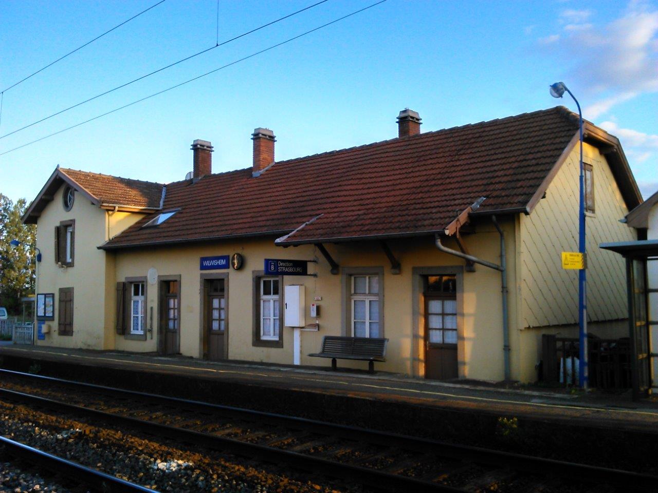
Get Directions: 0.00The train station Wilwisheim is a French railway station located in the town of Wilwisheim, in the department: Bas-Rhin, in the region: Grand Est. Its latitude and longitude geographic coordinates are 48° 44′ 45″ North, 7° 30′ 27″ East with an altitude of 161 m. It is on the train line Paris – Strasbourg with 2 tracks and 2 side platforms serving 33 926 passengers (2014) per Read more...
-
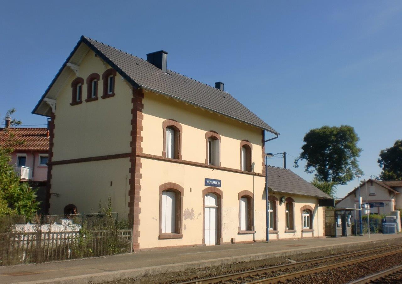
Get Directions: 0.00The train station Weyersheim is a French railway station on the line: Vendenheim Wissembourg, located in the town of Weyersheim, in the department: Bas-Rhin in the region: Grand Est. Its latitude and longitude geographic coordinates are 48° 43′ 05″ North, 7° 47′ 49″ East with an altitude of 142 m. It is on the train line Vendenheim Wissembourg with 2 tracks and 2 platforms. Read more...
-
Get Directions: 0.00The train station Walbourg is a French railway station on the line: Vendenheim Wissembourg, located in the town of Walbourg in the department: Bas-Rhin in the region: Grand Est. Its latitude and longitude geographic coordinates are 48° 53′ 10″ North, 7° 48′ 34″ East with an altitude of 159 m. It is on the train line Vendenheim Wissembourg, Walbourg Lembach and Mertzwiller Seltz with 1 track Read more...
-
Get Directions: 0.00The train station Walheim is a French station on the line Paris-Est Mulhouse-Ville, located in the town of Walheim, near the center of the village, in the department: Haut-Rhin in the region: Grand Est. Its latitude and longitude geographic coordinates are 47° 38′ 30″ North, 7° 15′ 48″ East with an altitude of 280 m. It is on the train line Paris-Est – Mulhouse-Ville with 2 Read more...
-
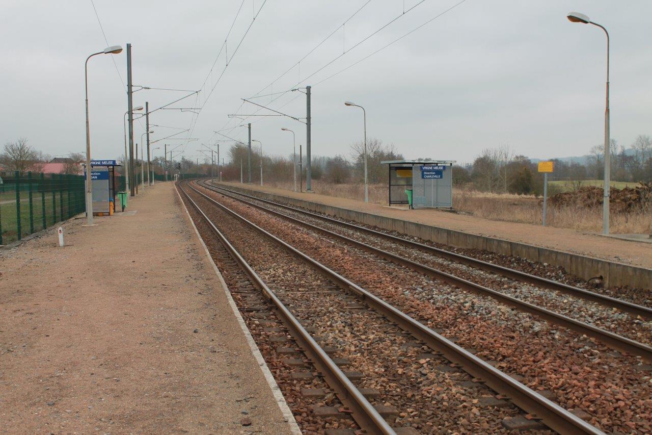
Get Directions: 0.00The train station Vrigne-Meuse is a French railway station on the line: Mohon Thionville located in the town of Vrigne-Meuse in the department: Ardennes, in the region: Grand Est. Its latitude and longitude geographic coordinates are 49° 42′ 04″ North, 4° 50′ 38″ East with an altitude of 150 m. It is on the train line Mohon Thionville and Vrigne-Meuse Vrigne-aux-Bois with 2 tracks and 2 Read more...
-
Get Directions: 0.00The train station Vraincourt – Viéville (formerly Vraincourt) is a French railway station on the line: Blesme – Haussignémont Chaumont, located in the town of Vraincourt, near Viéville, in the department: Haute-Marne in the region: Grand Est. Its latitude and longitude geographic coordinates are 48° 14′ 12″ North, 5° 07′ 26″ East with an altitude of 236 m. It is on the train line Blesme – Read more...
-
Get Directions: 0.00The train station Vœllerdingen est une ancienne halte ferroviaire française on the line Mommenheim Sarreguemines, located in the town of Vœllerdingen, in the department: Bas-Rhin in the region: Alsace. Its latitude and longitude geographic coordinates are 48° 57′ 45″ North, 7° 08′ 35″ East with an altitude of 227 m. It is on the train line Mommenheim Sarreguemines with 2 tracks and 2 platforms. Read more...
-
Get Directions: 0.00The train station Bayon is a French railway station on the line: Blainville – Damelevières Lure, located in the town of Bayon, in the department: Meurthe-et-Moselle in the region: Grand Est. Its latitude and longitude geographic coordinates are 48° 28′ 04″ North, 6° 19′ 22″ East with an altitude of 267 m. It is on the train line Blainville – Damelevières Lure and Bayon Neuves-Maisons with Read more...
-
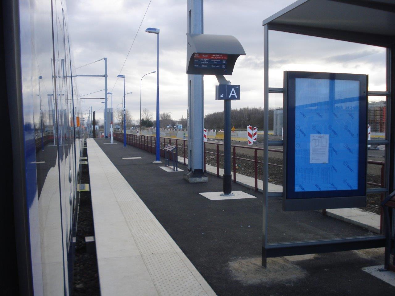
Get Directions: 0.00The train station Vieux-Thann is a French railway station on the line: Lutterbach Kruth, located in the town of Vieux-Thann in the department: Haut-Rhin, in the region: Grand Est. Its latitude and longitude geographic coordinates are 47° 48′ 20″ North, 7° 07′ 12″ East with an altitude of 329 m. It is on the train line Lutterbach – Kruth with 1 (plus sidings) tracks and 1 Read more...
-
Get Directions: 0.00The train station Vieux-Thann-ZI is a French station on the line Lutterbach Kruth located in the town of Vieux-Thann in the department: Haut-Rhin, in the region: Grand Est. Its latitude and longitude geographic coordinates are 47° 48′ 07″ North, 7° 08′ 00″ East with an altitude of 325 m. It is on the train line Lutterbach – Kruth with 2 tracks and 2 platforms. Read more...
-
Get Directions: 0.00The train station Vézelise is a French railway station located in the town of Vézelise in the department: Meurthe-et-Moselle. Its latitude and longitude geographic coordinates are 48° 28′ 50″ North, 6° 06′ 02″ East. It is on the train line Jarville-la-Malgrange Mirecourt with 2 tracks and 2 platforms. Read more...
-
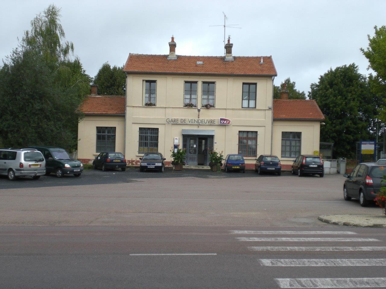
Get Directions: 0.00The train station Vendeuvre (Aube) is a French railway station on the line: Paris-Est Mulhouse-Ville, located in downtown Vendeuvre-sur-Barse, in the department: Aube, in the region: Grand Est. Its latitude and longitude geographic coordinates are 48° 14′ 25″ North, 4° 28′ 02″ East with an altitude of 167 m. It is on the train line Paris-Est Mulhouse-Ville with 2 (plus old sidings) tracks and 2 with Read more...
-
Get Directions: 0.00The train station Verdun is a French railway station on the line: Saint-Hilaire-au-Temple Hagondange, located in downtown Verdun, sub-prefecture of the department: Meuse, in the region: Grand Est. Its latitude and longitude geographic coordinates are 49° 09′ 56″ North, 5° 22′ 46″ East with an altitude of 200 m. It is on the train line St-Hilaire-au-Temple Hagondange and Lérouville Pont-Maugis with 3 (plus sidings) tracks and Read more...
-
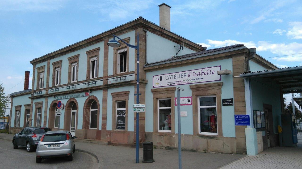
Get Directions: 0.00The train station Vendenheim is a French railway station located in the town of Vendenheim, in the department: Bas-Rhin, in the region: Grand Est. Its latitude and longitude geographic coordinates are 48° 39′ 58″ North, 7° 43′ 05″ East with an altitude of 146 m. It is on the train line • Noisy-le-Sec Strasbourg-Ville, • Vendenheim Wissembourg and • LGV Est européenne with 4 (plus sidings) Read more...
-
Get Directions: 0.00The train station Vandières is a French railway station on the line: Frouard Novéant, located in the town of Vandières in the department: Meurthe-et-Moselle in the region: Grand Est. Its latitude and longitude geographic coordinates are 48° 57′ 08″ North, 6° 02′ 21″ East with an altitude of 180 m. It is on the train line Frouard Novéant with 2 tracks and 2 platforms. Read more...
-
Get Directions: 0.00The train station Valleroy – Moinville is a French railway station on the line: Saint-Hilaire-au-Temple Hagondange, located in the town of Valleroy, near Moineville, in the department: Meurthe-et-Moselle in the region: Grand Est. Its latitude and longitude geographic coordinates are 49° 12′ 20″ North, 5° 56′ 10″ East. It is on the train line Saint-Hilaire-au-Temple Hagondange with 2 (plus sidings) tracks and 2 platforms. Read more...
-
Get Directions: 0.00The train station Val-de-Vesle (formerly gare de Wez – Thuizy) is a French railway station on the line: Châlons-en-Champagne Reims-Cérès, located in the town of Val-de-Vesle, in the department: Marne in the region: Grand Est. Its latitude and longitude geographic coordinates are 49° 10′ 41″ North, 4° 13′ 20″ East with an altitude of 95 m. It is on the train line Châlons-en-Champagne Reims-Cérès with 2 Read more...
-
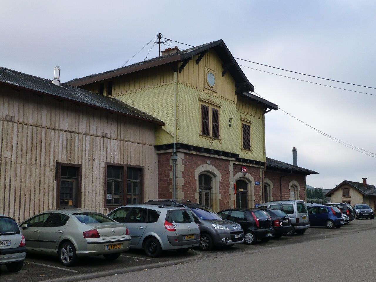
Get Directions: 0.00The train station Urmatt is a French railway station on the line: Strasbourg-Ville Saint-Dié, located in the town of Urmatt, in the department: Bas-Rhin, in the region: Grand Est. Its latitude and longitude geographic coordinates are 48° 31′ 33″ North, 7° 20′ 20″ East with an altitude of 234 m. It is on the train line Strasbourg-Ville Saint-Dié with 2 (plus sidings) tracks and 2 platforms Read more...
